Canal of the Marne to the Rhine
Characteristics
The starting point of the waterway is near : La Robertsau Strasbourg.
The starting point of the waterway connects to : Rijn.
Height of the start of the waterway is : 137.00 meter.
The endpoint of the waterway is located at : Vitry-le-François (Marne).
The terminus of the waterway connects to : Canal latéral à la Marne.
The height of the terminus of the fairway is. 100.50 meter.
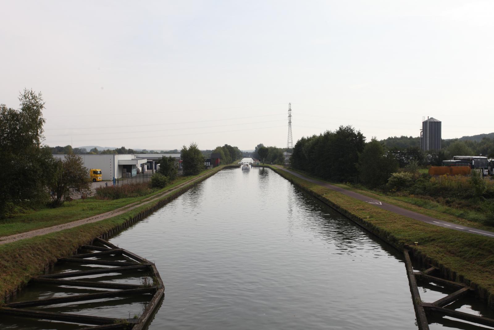
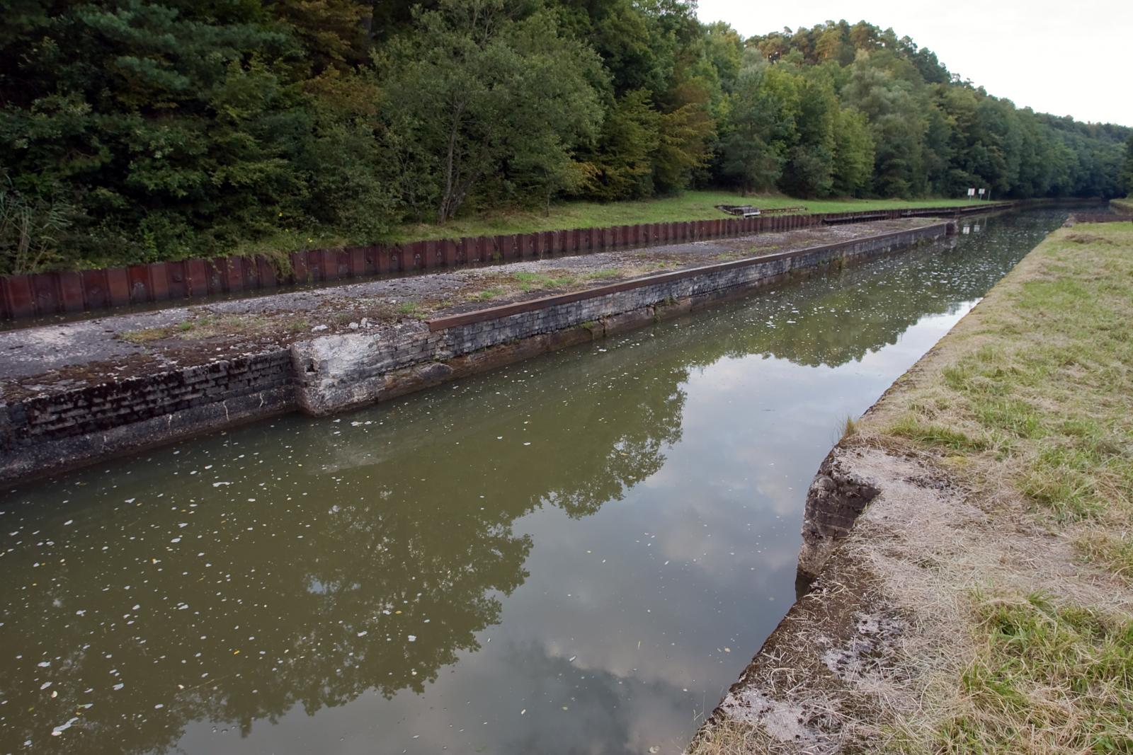
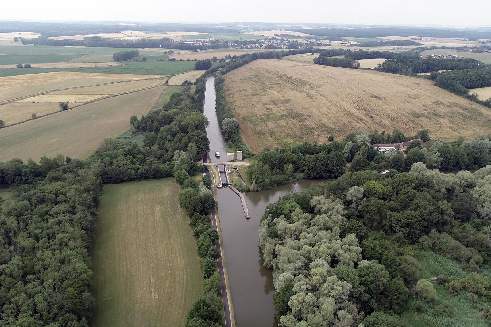
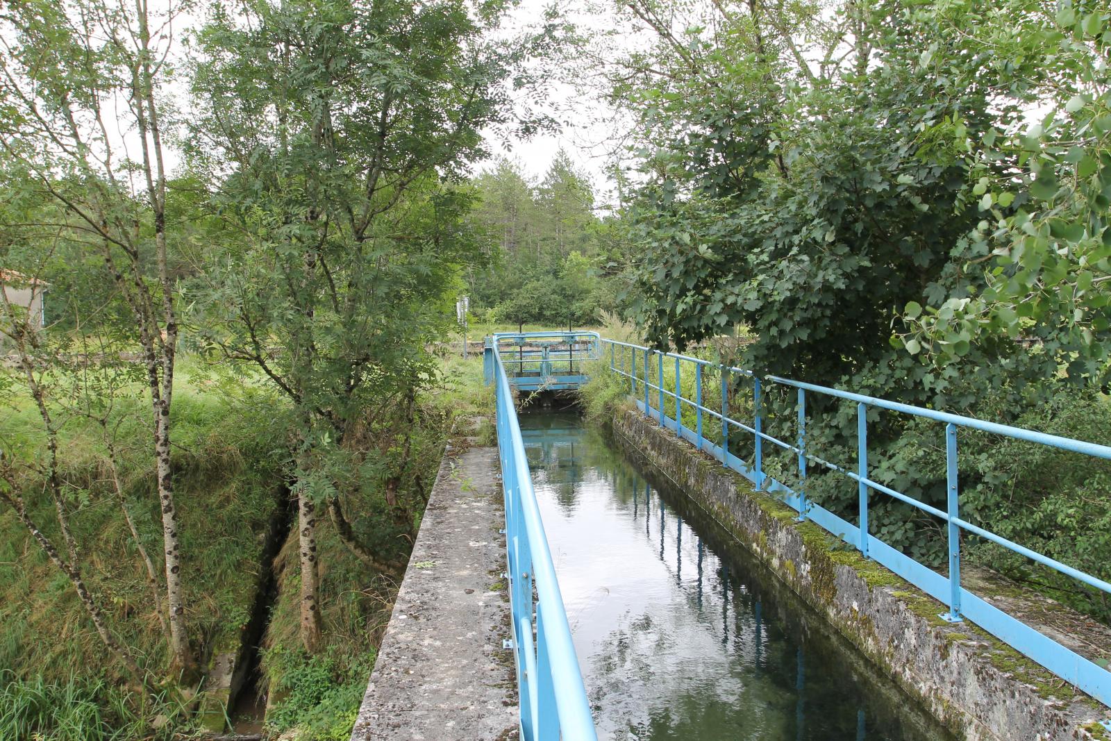
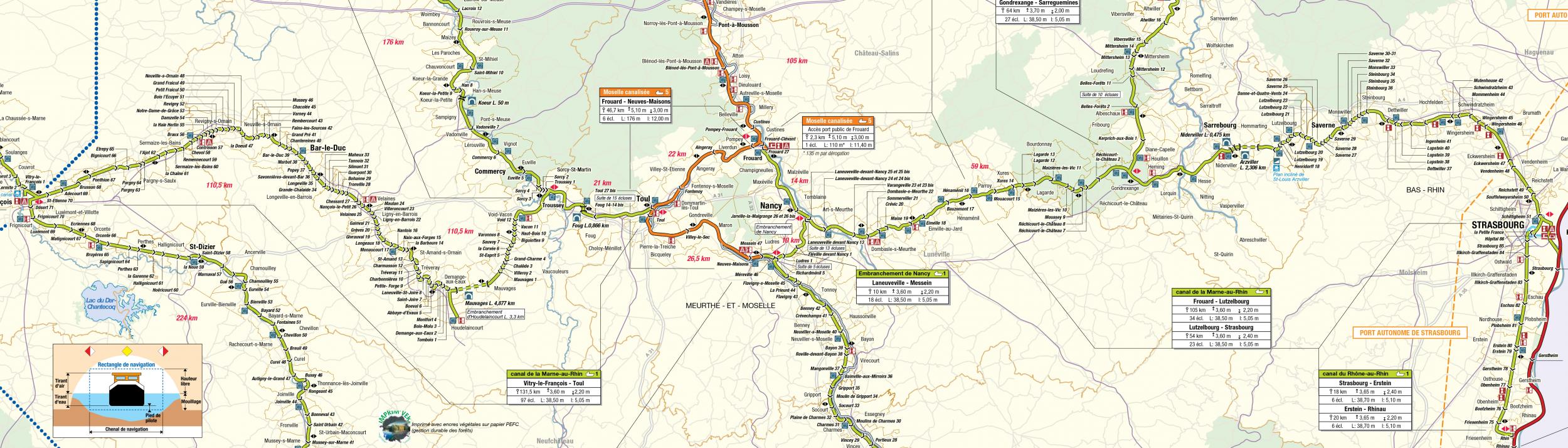
Length of the fairway is 289.00 kilometers long.
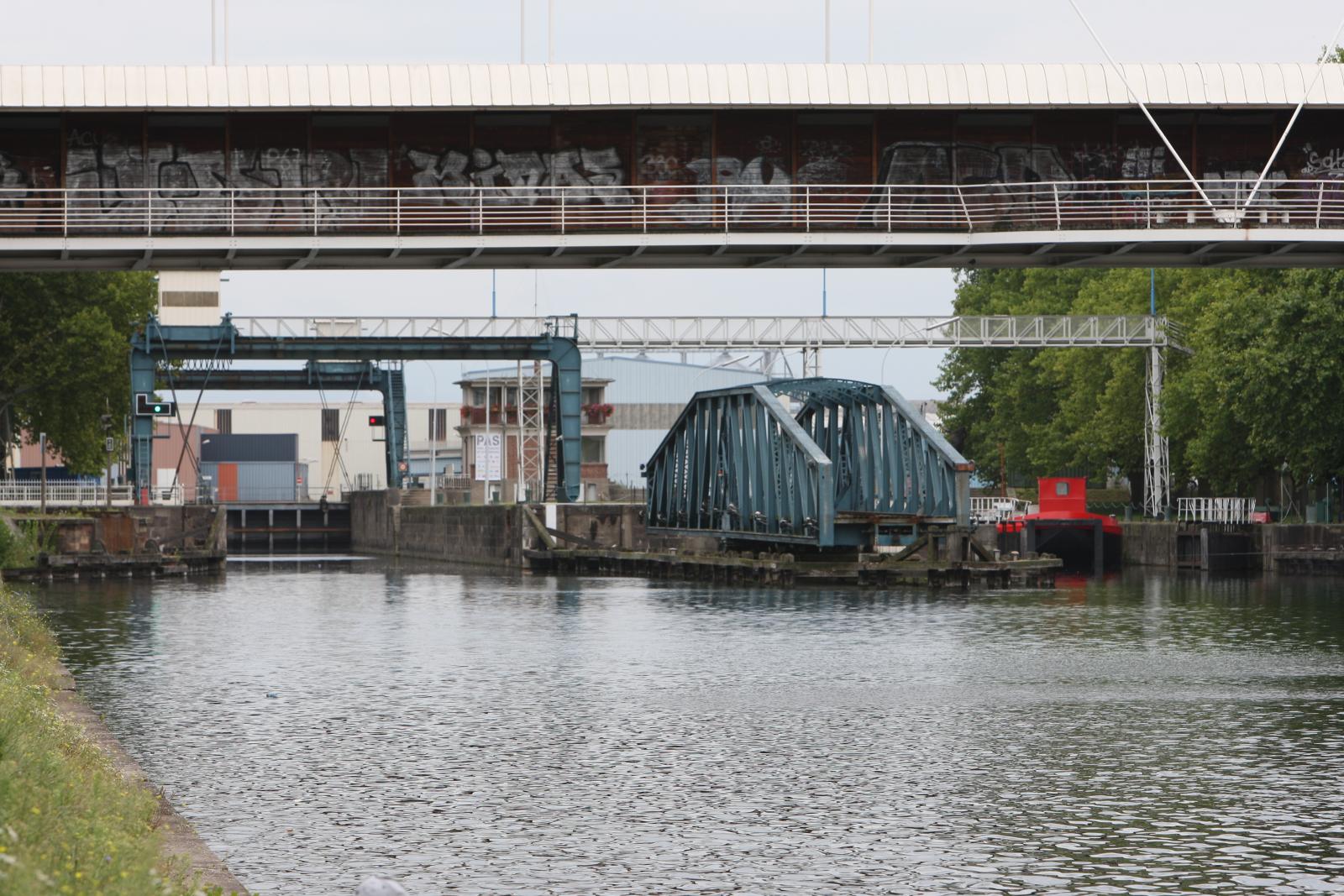
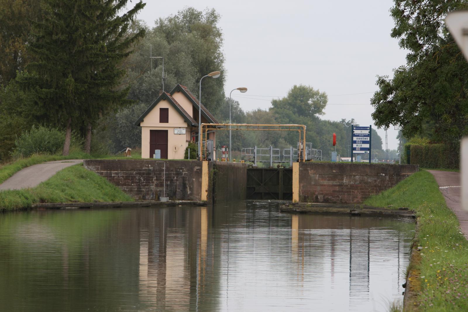
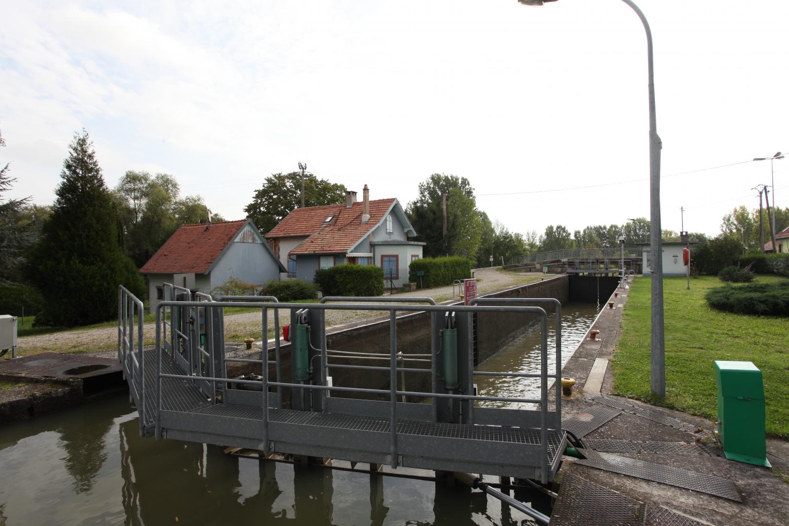
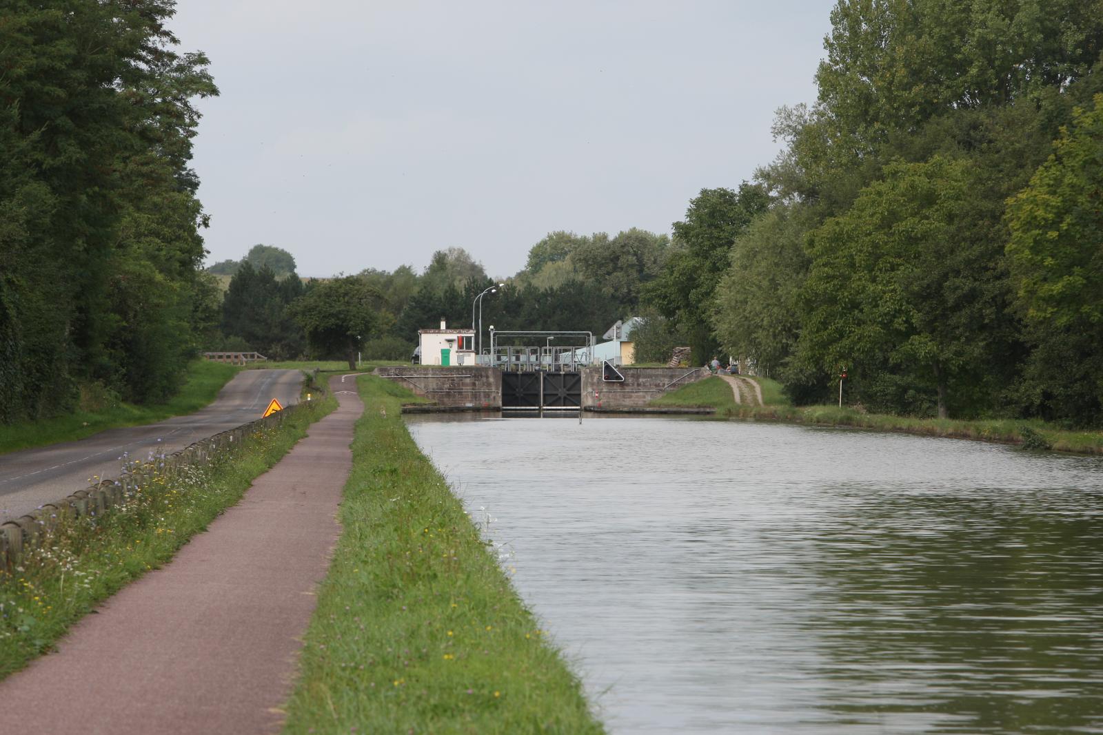
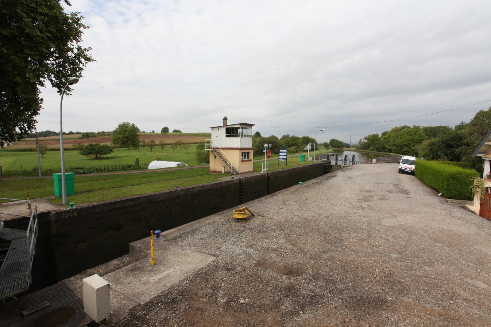
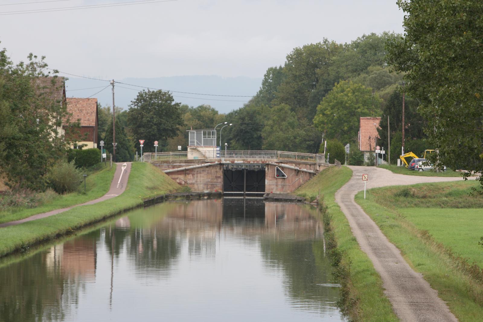
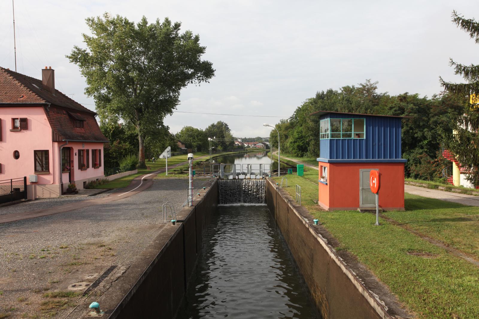
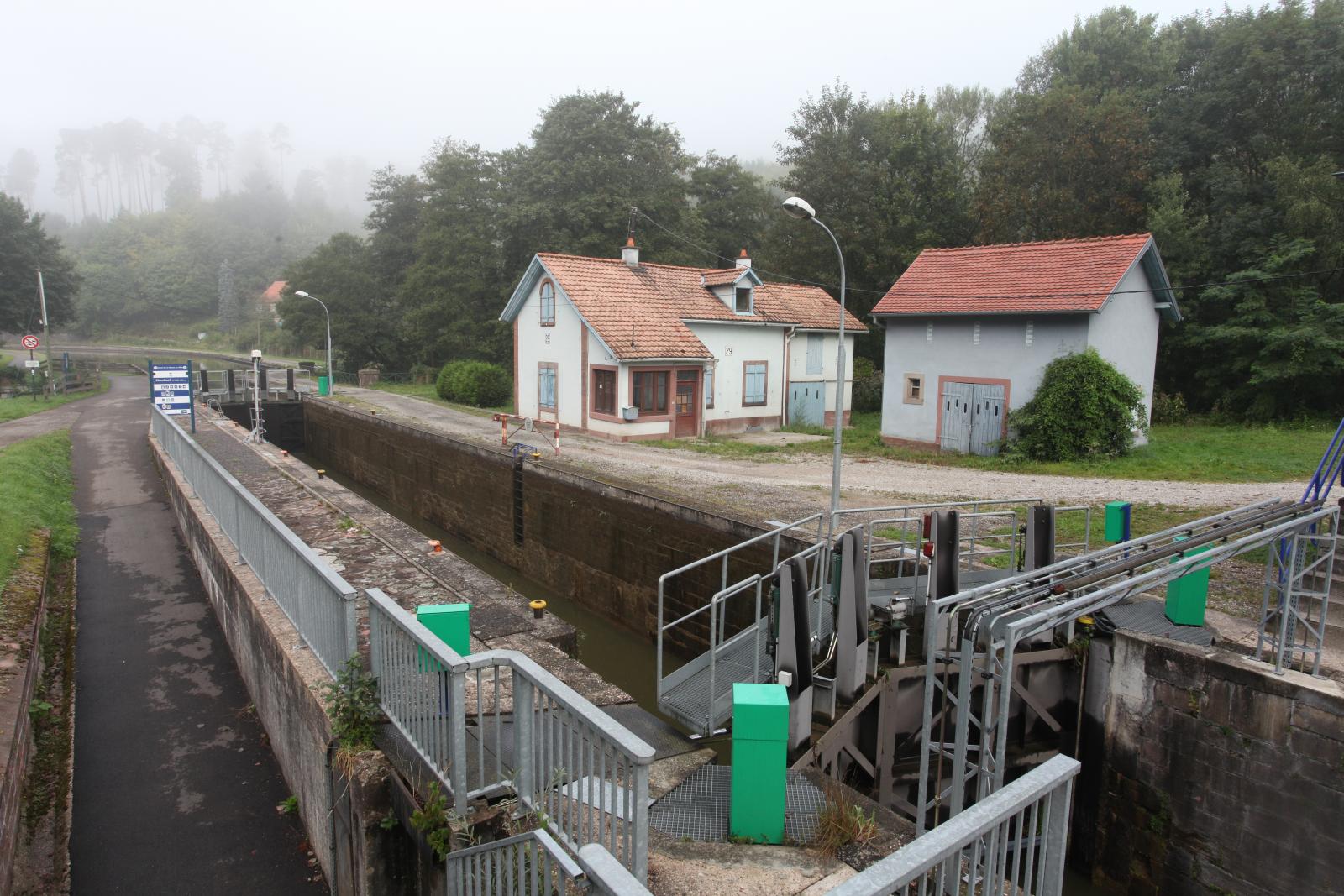
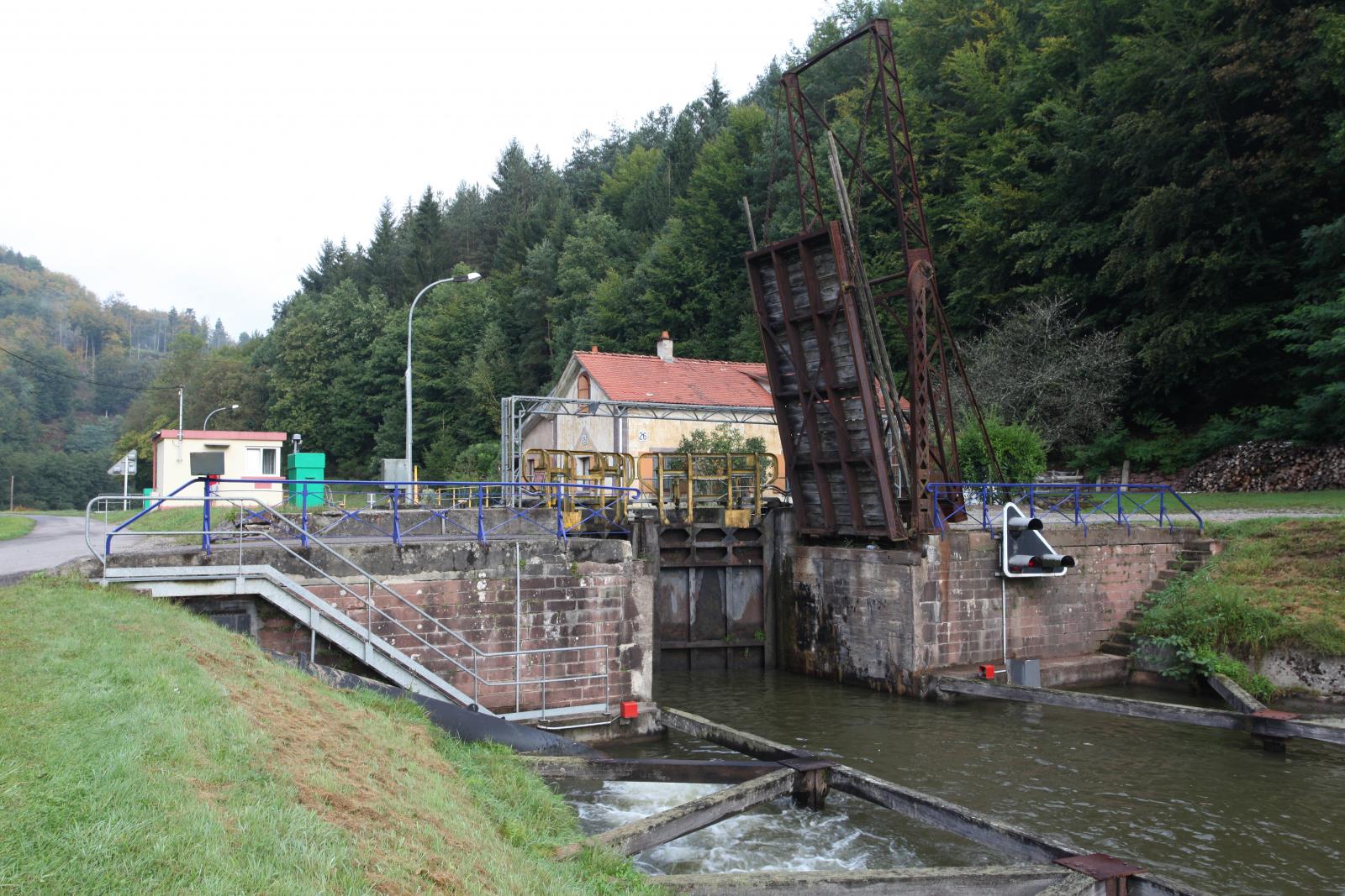
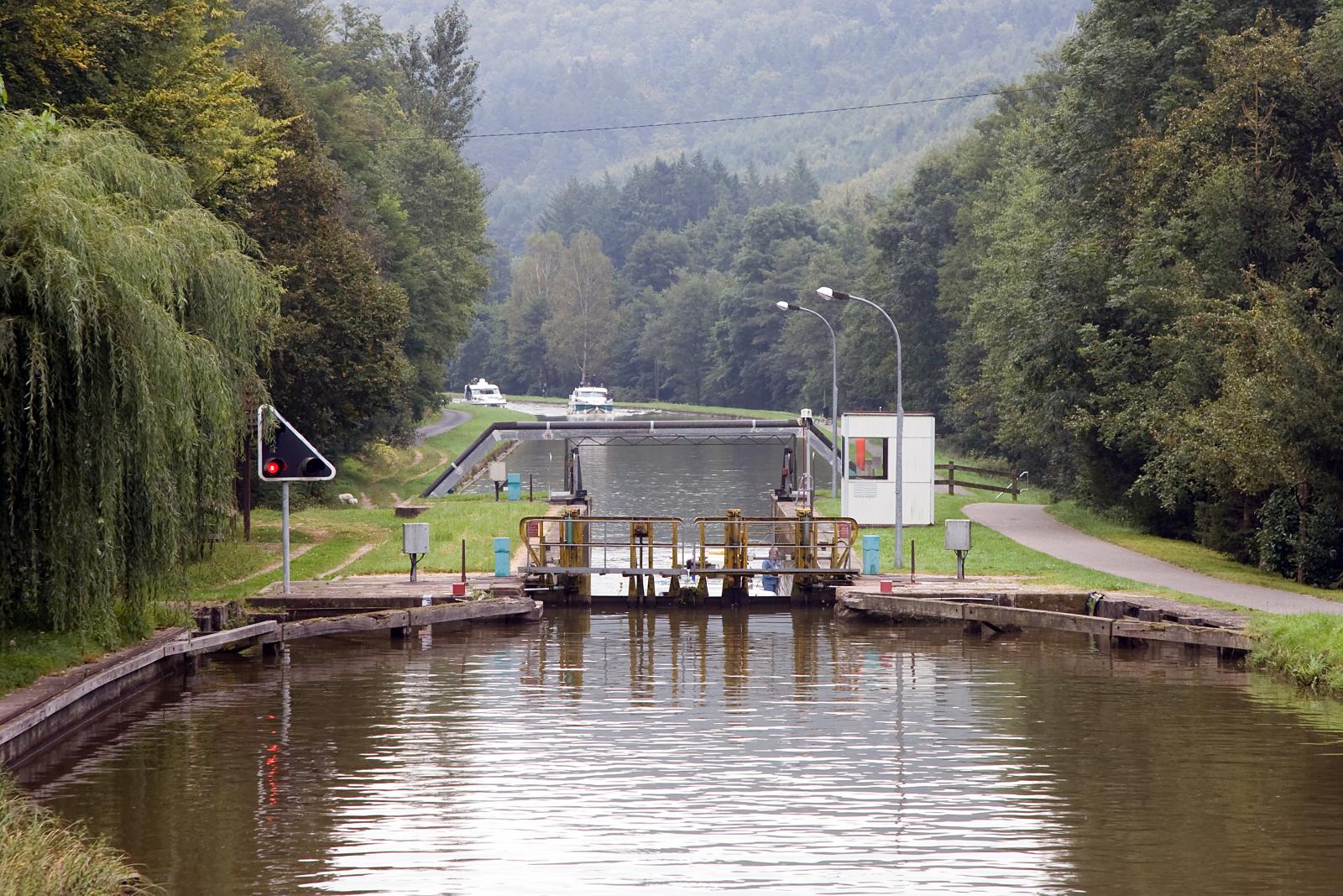
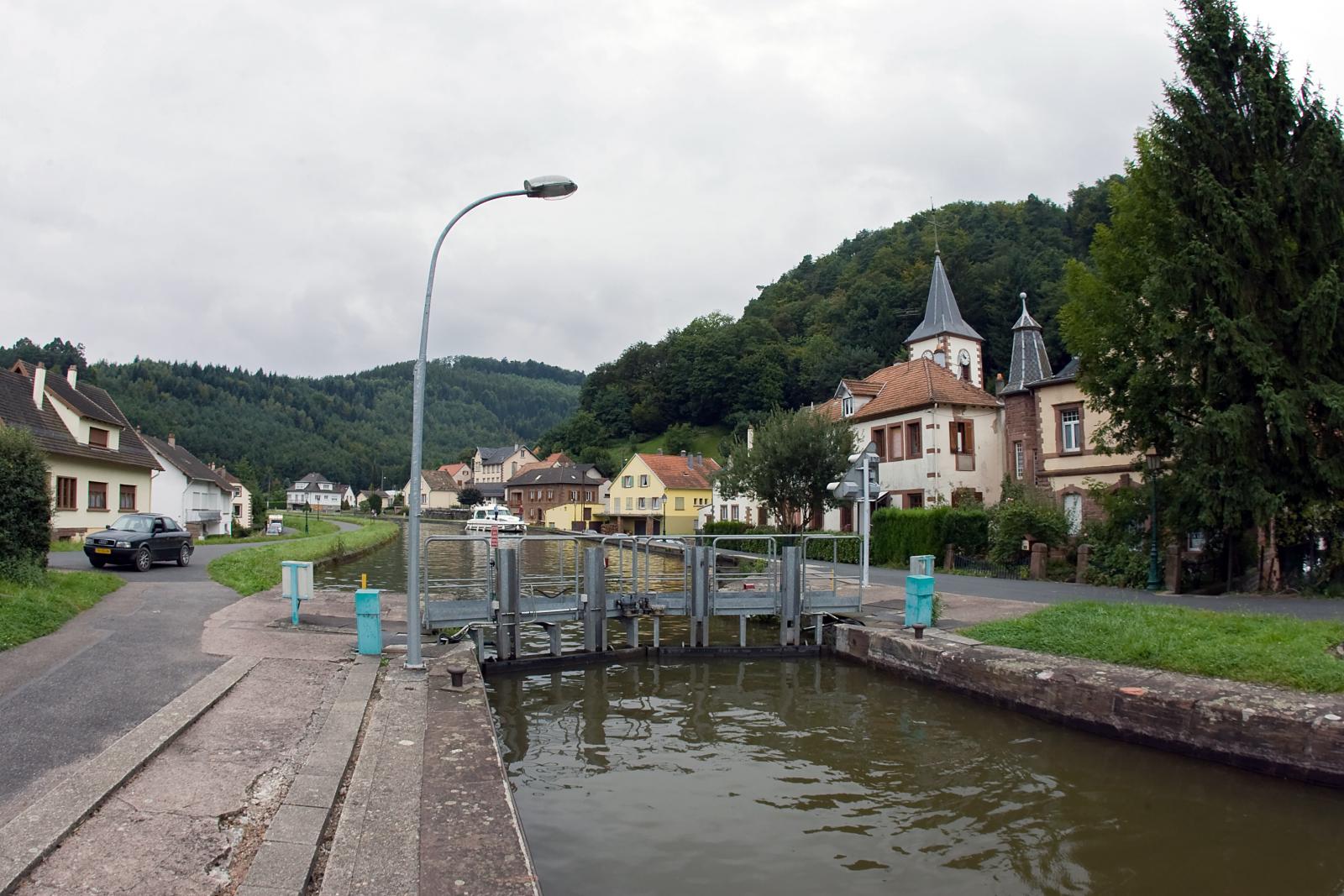
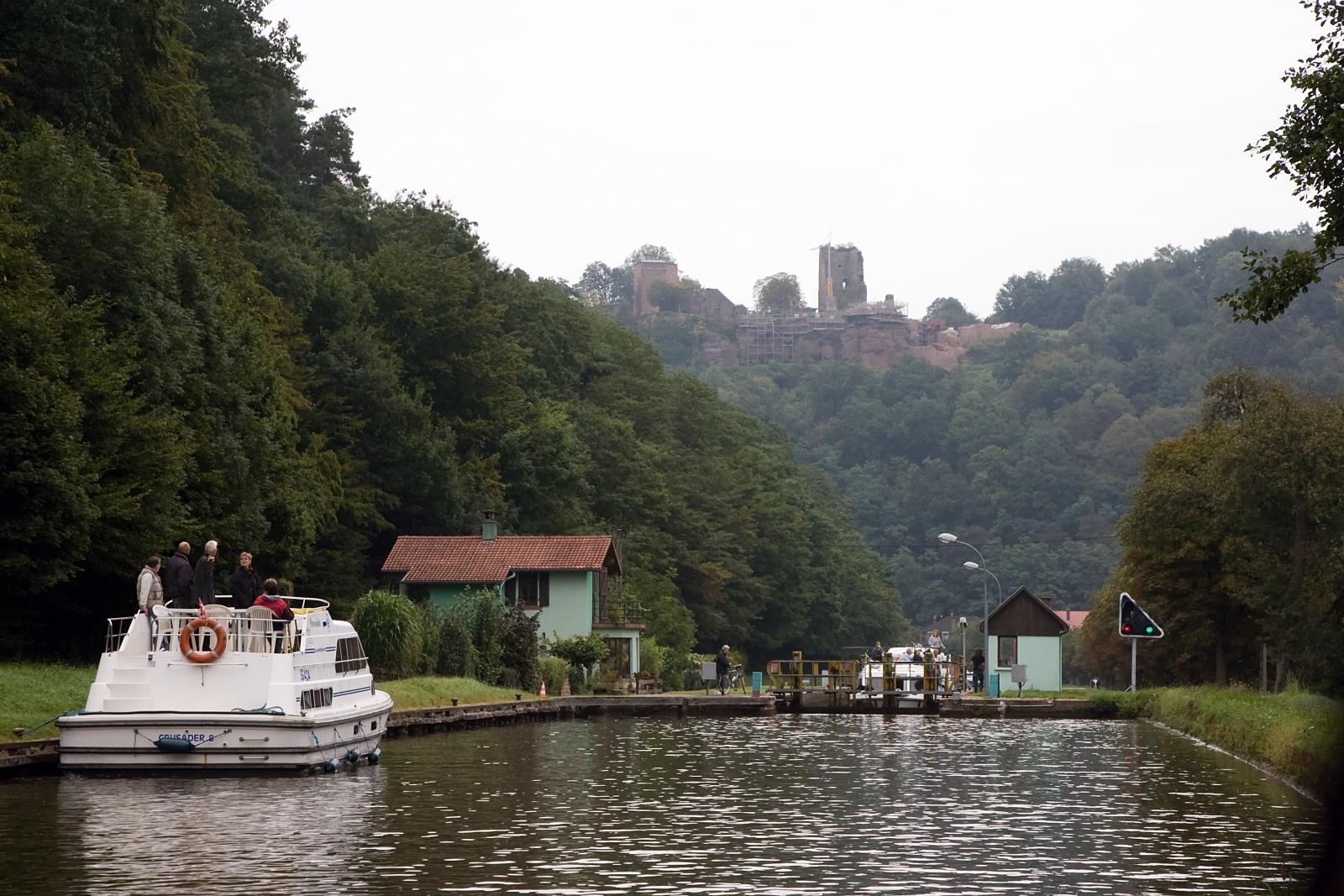
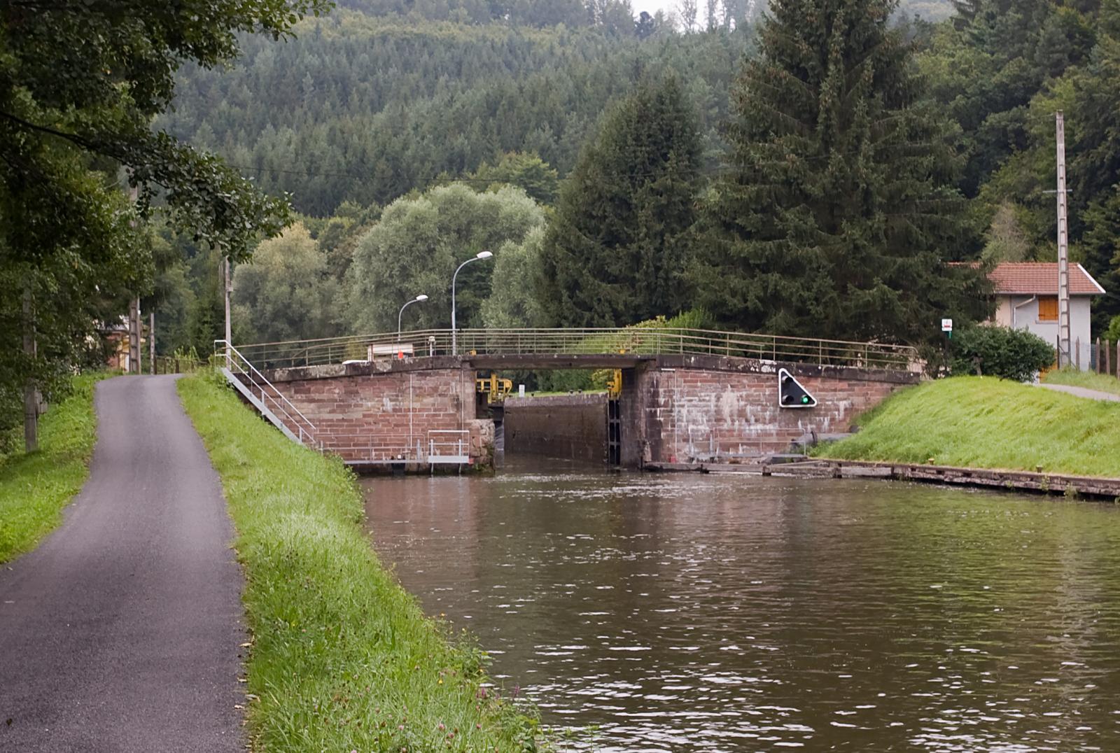
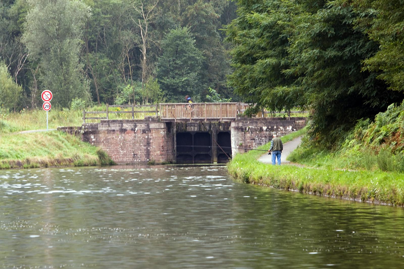
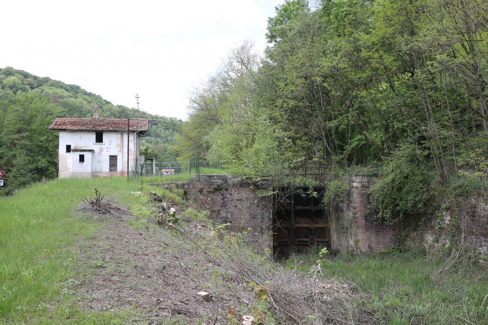
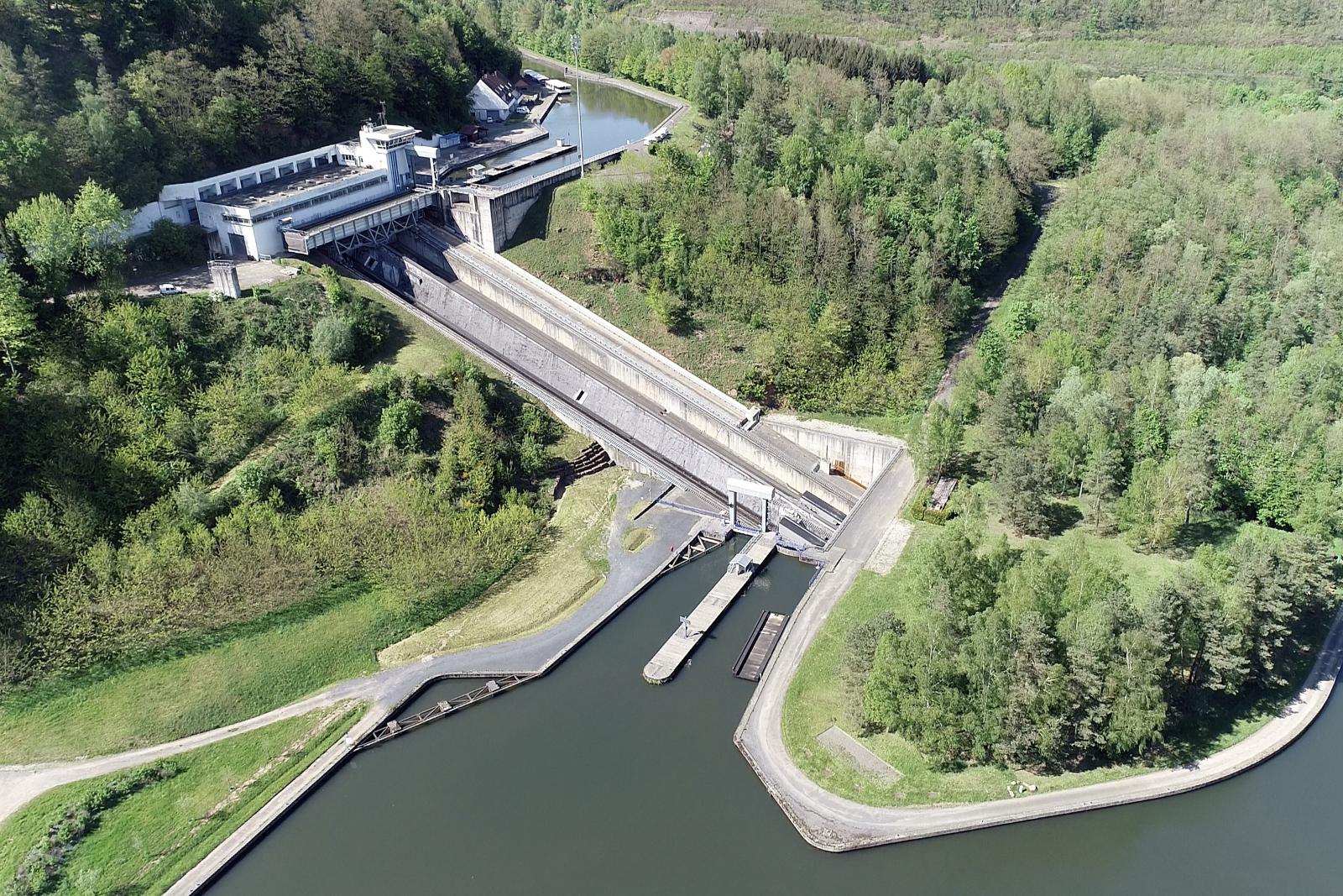
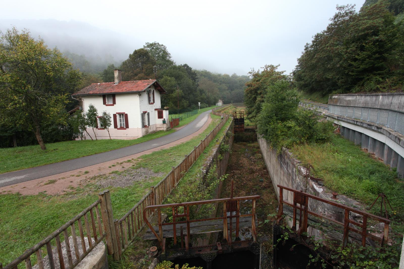
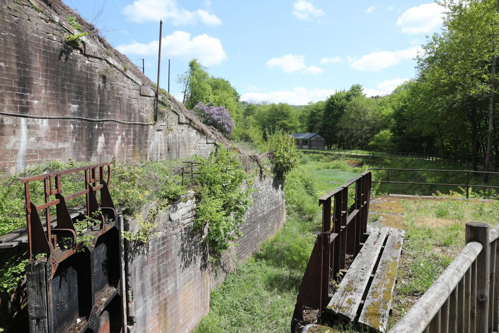
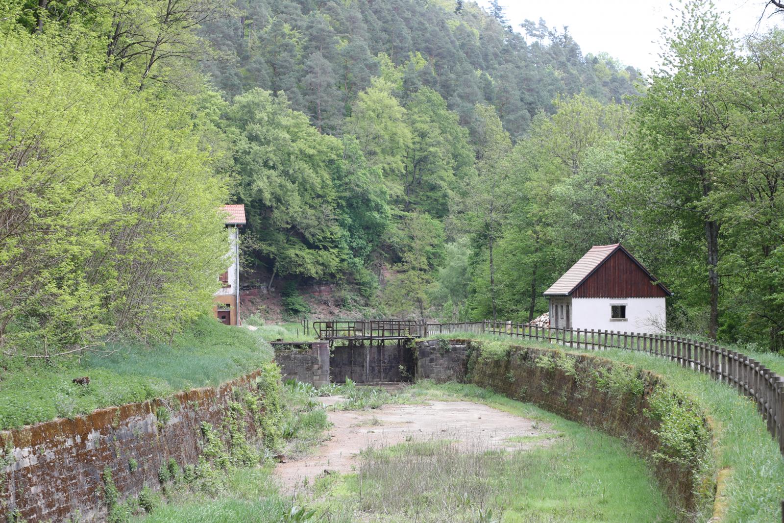
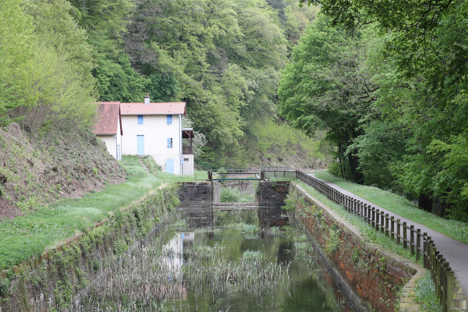
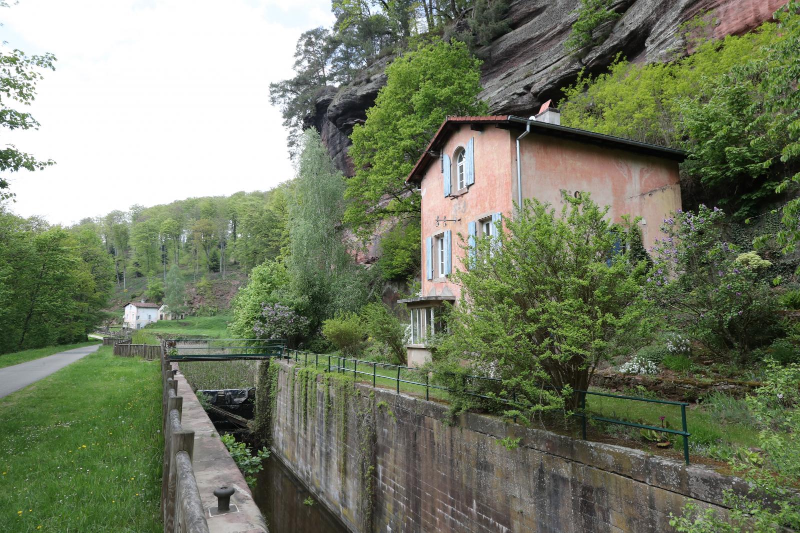
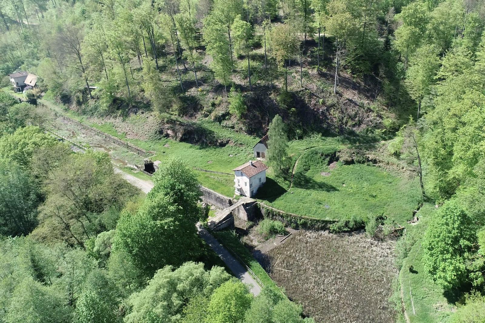
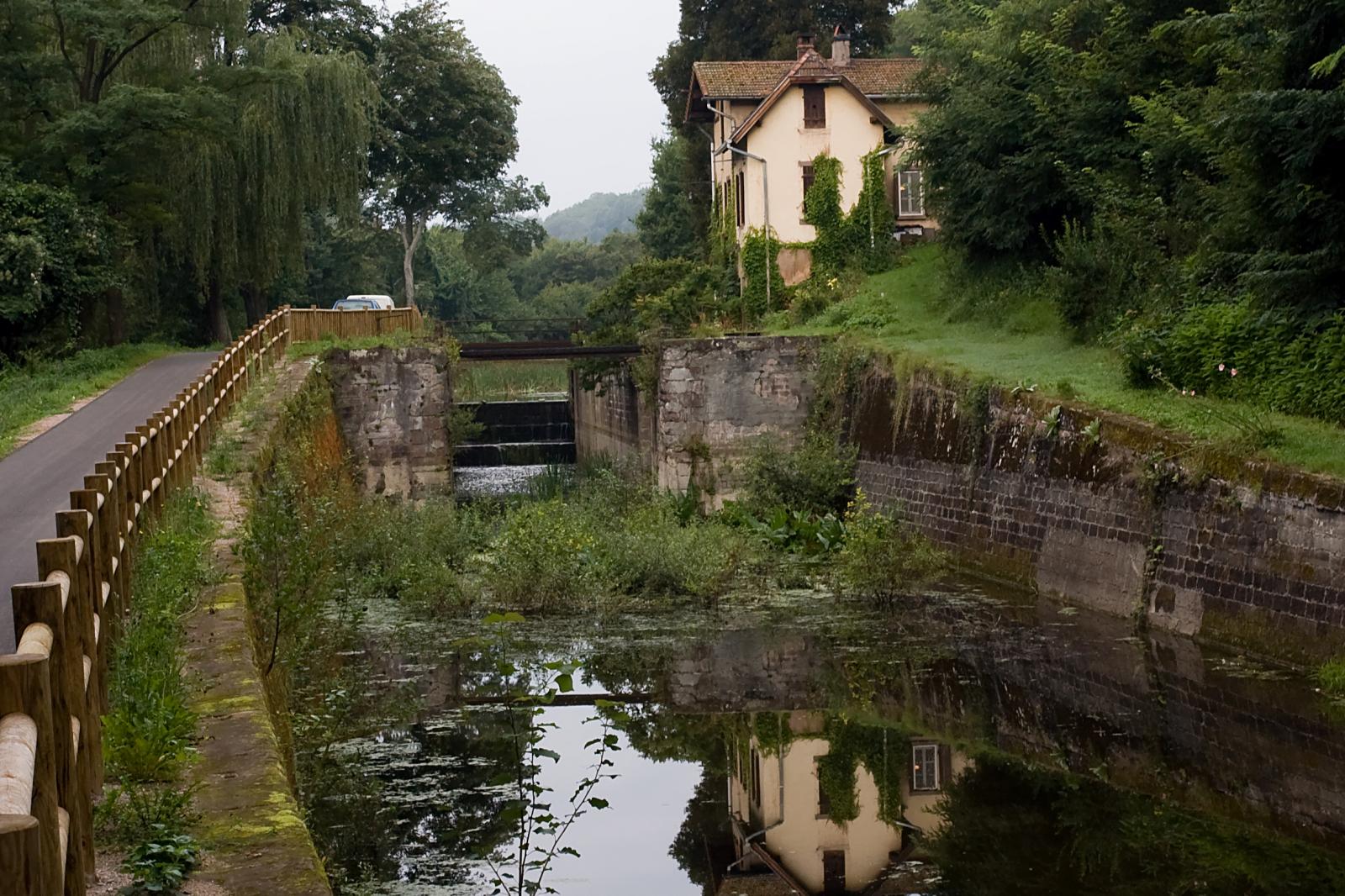
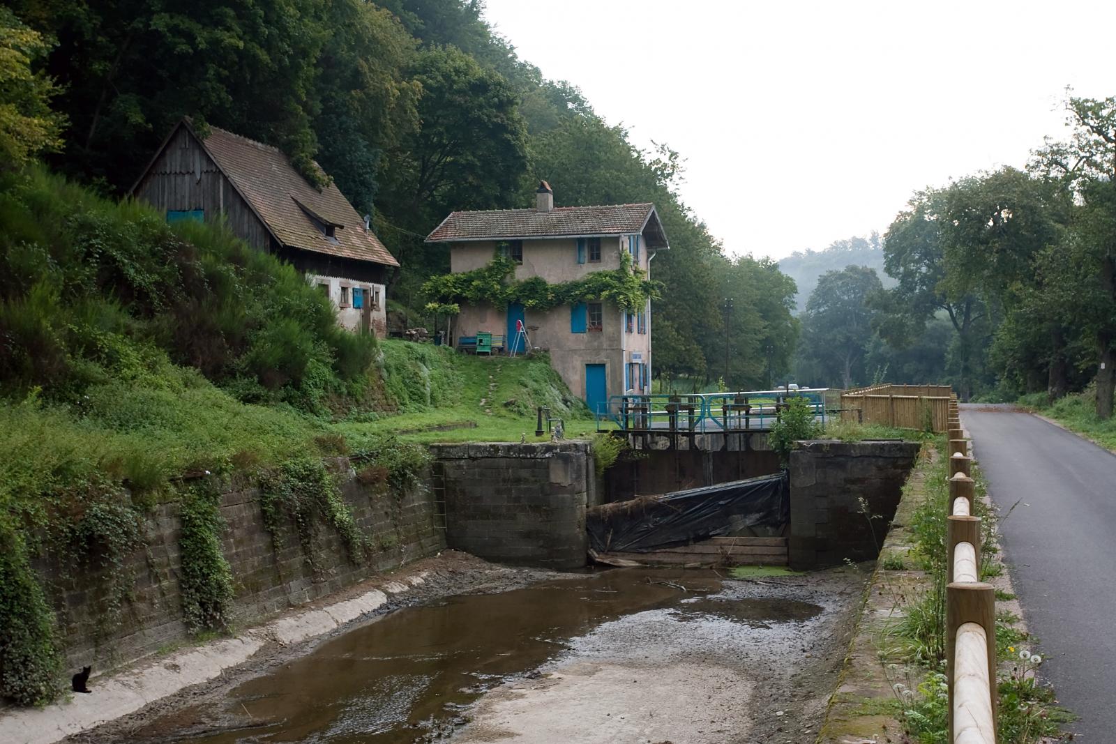
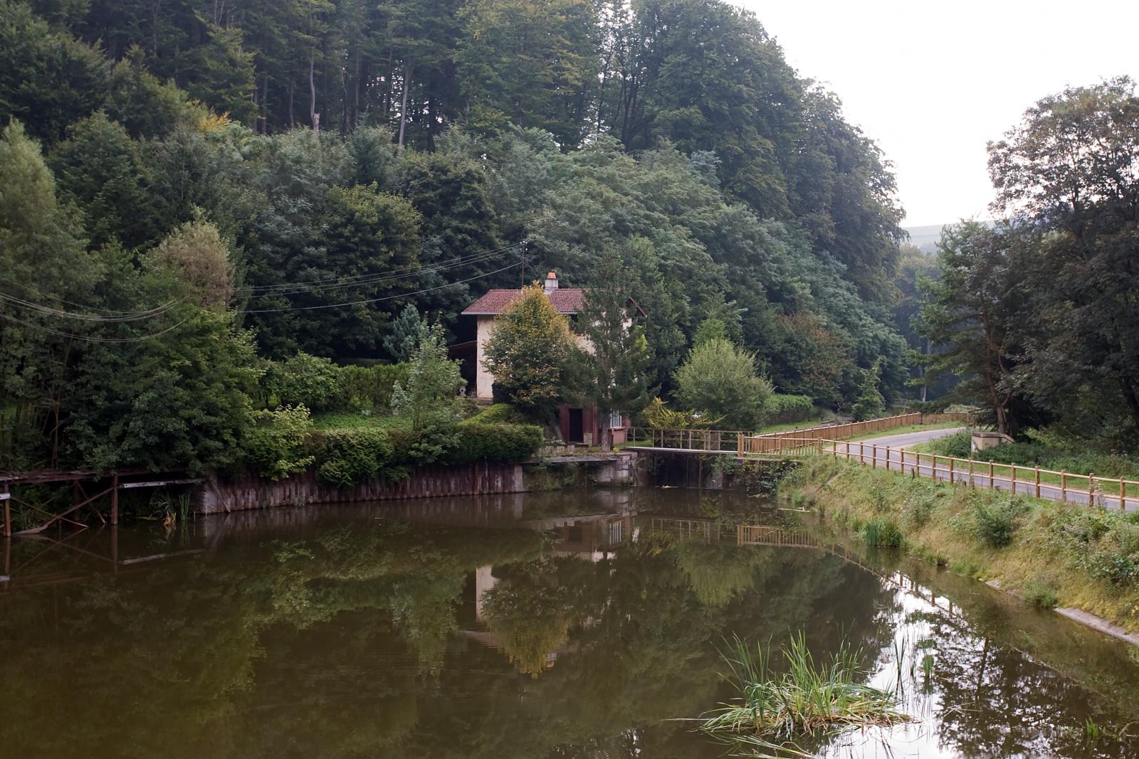
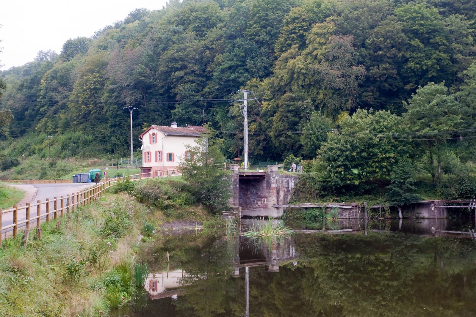
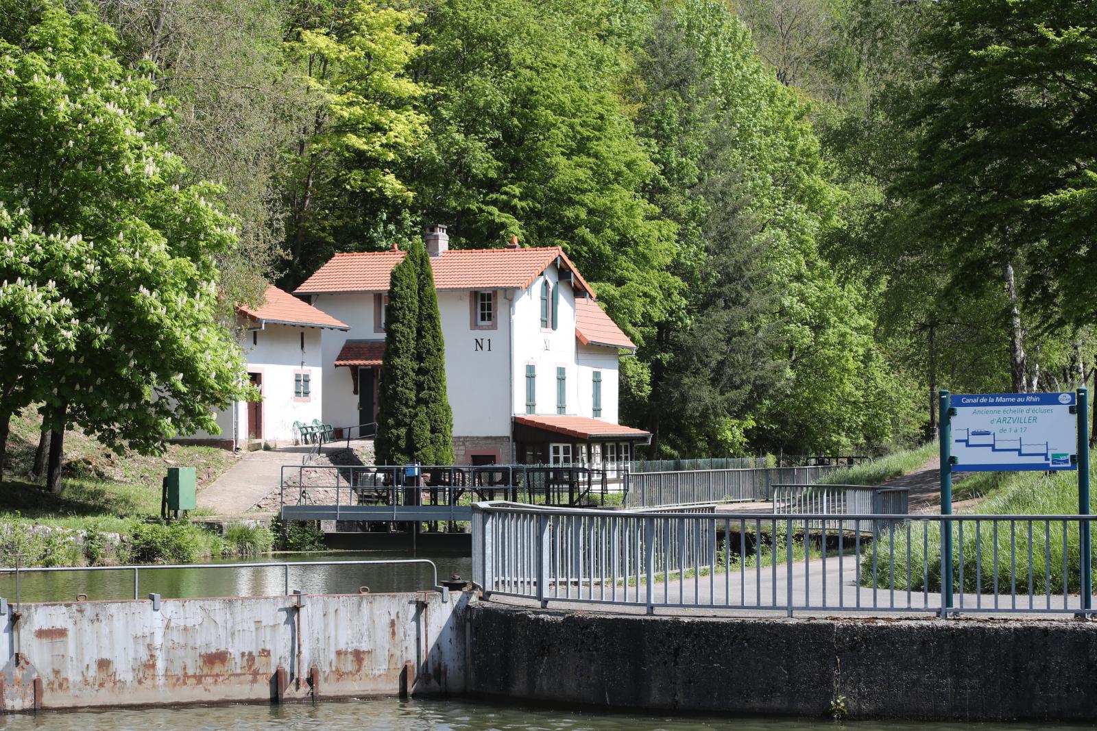
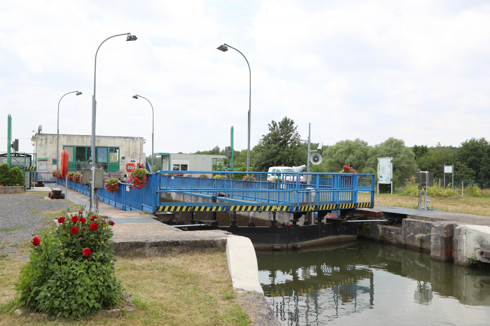
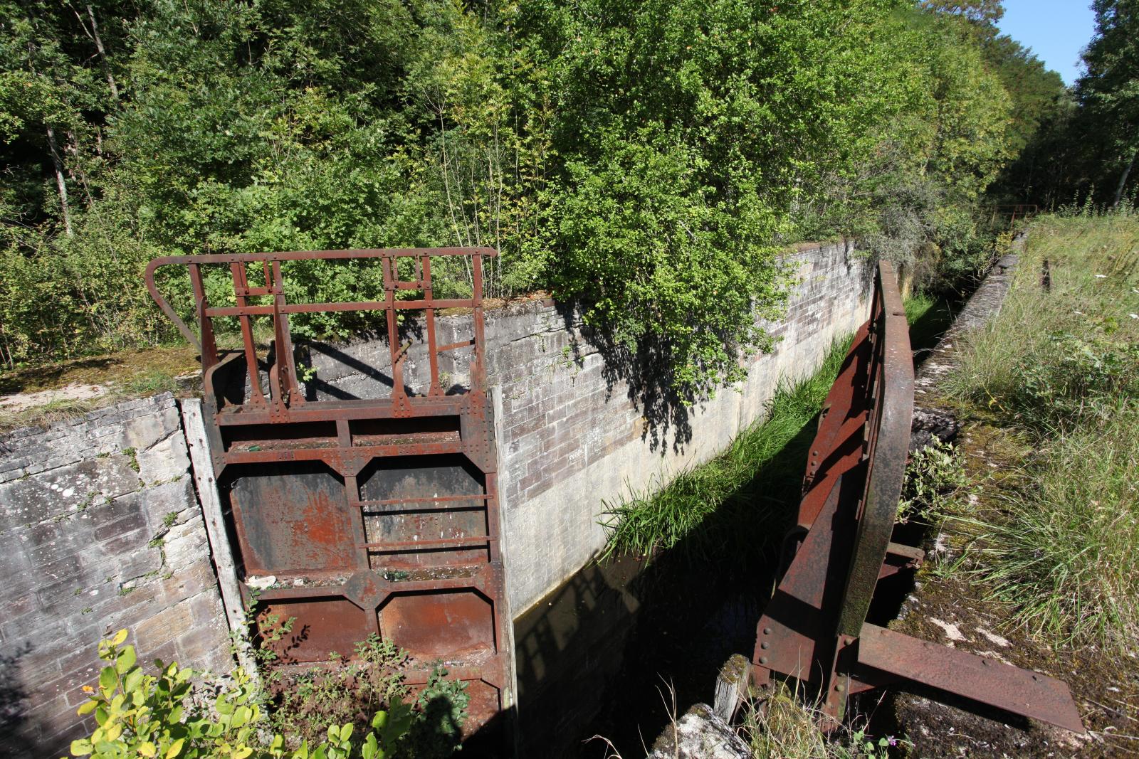
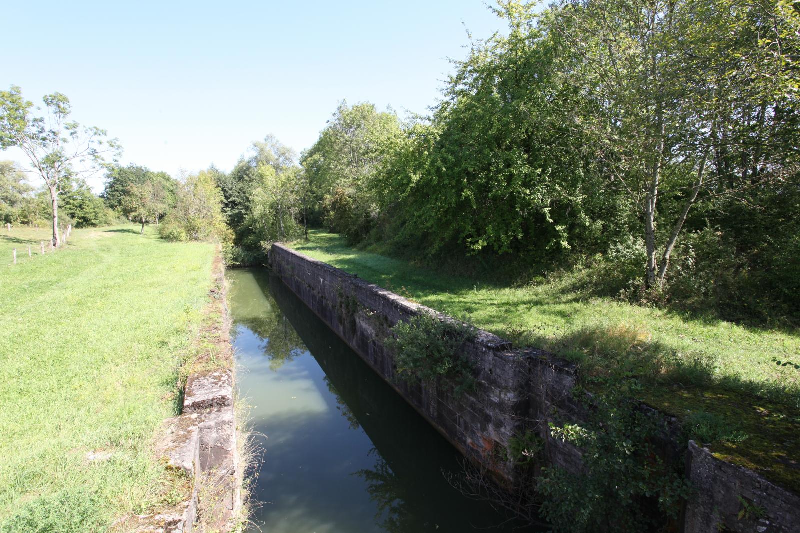
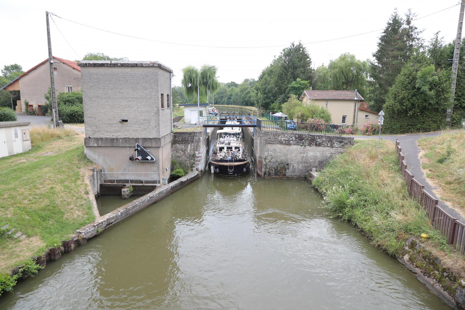
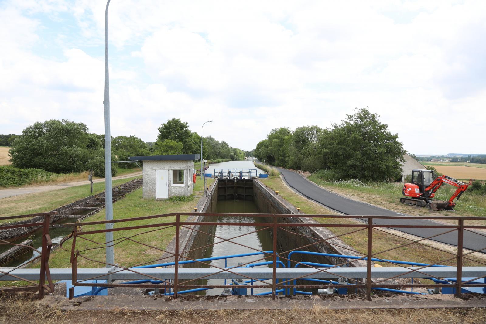
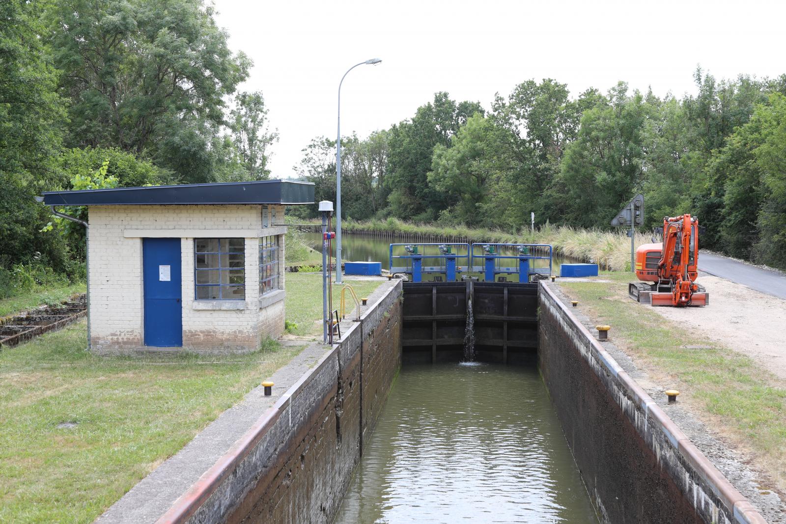
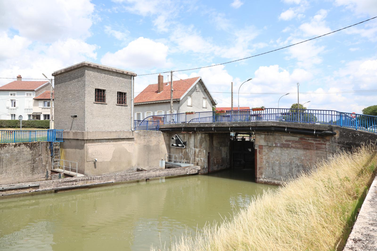
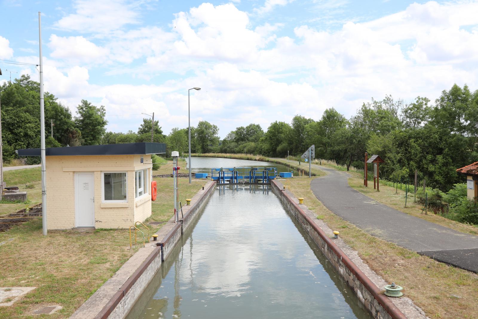
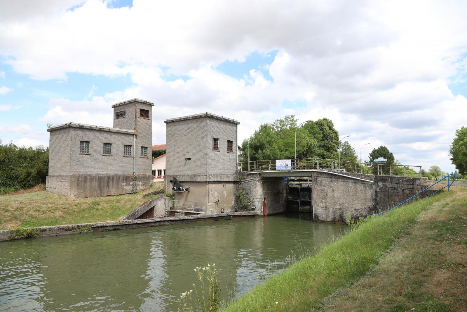
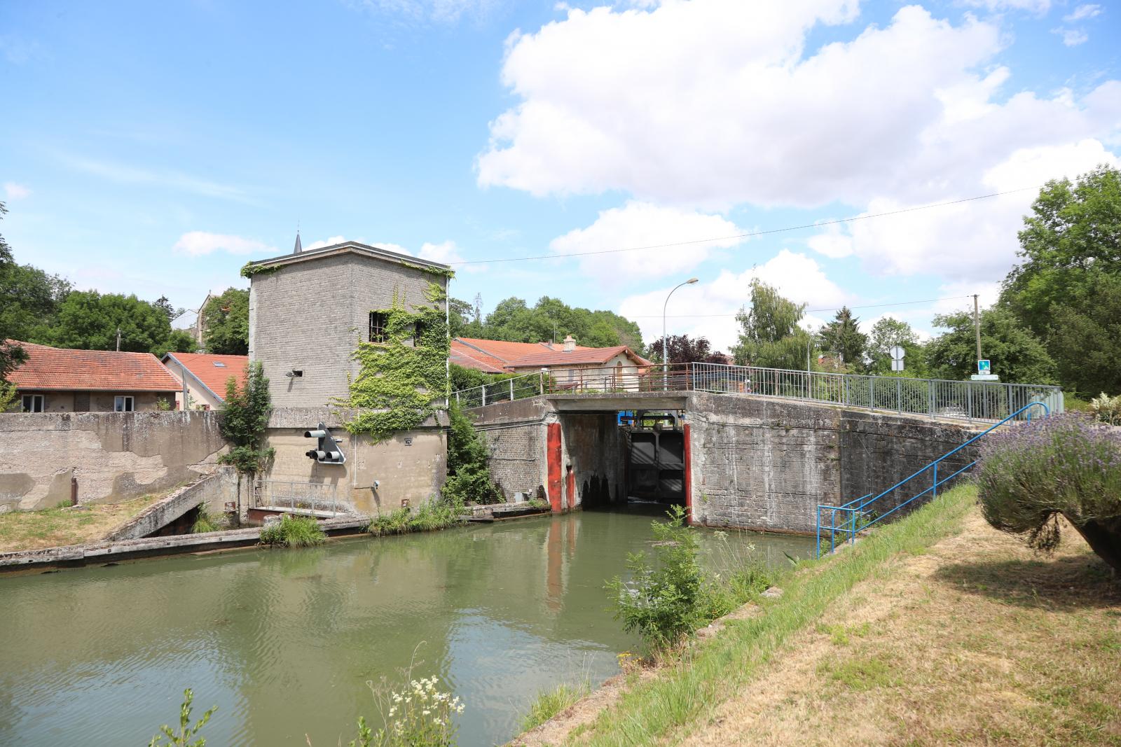
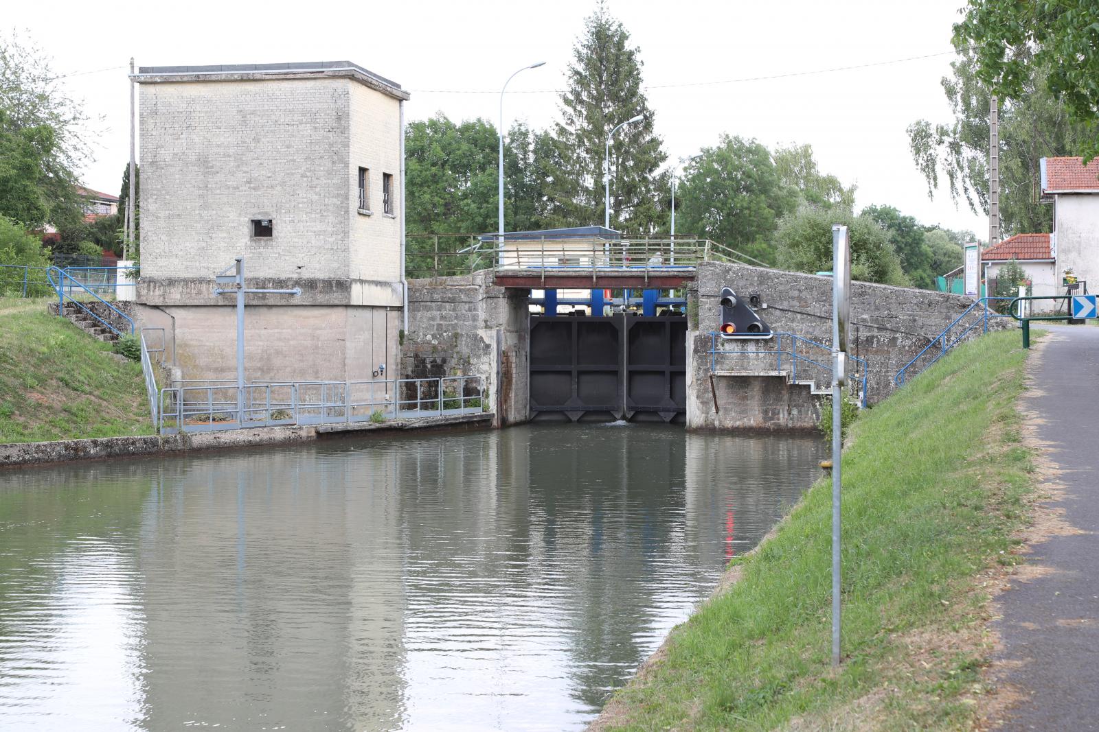
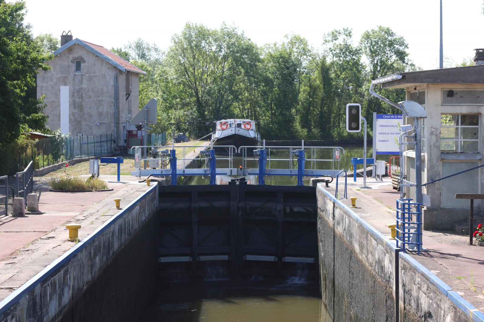
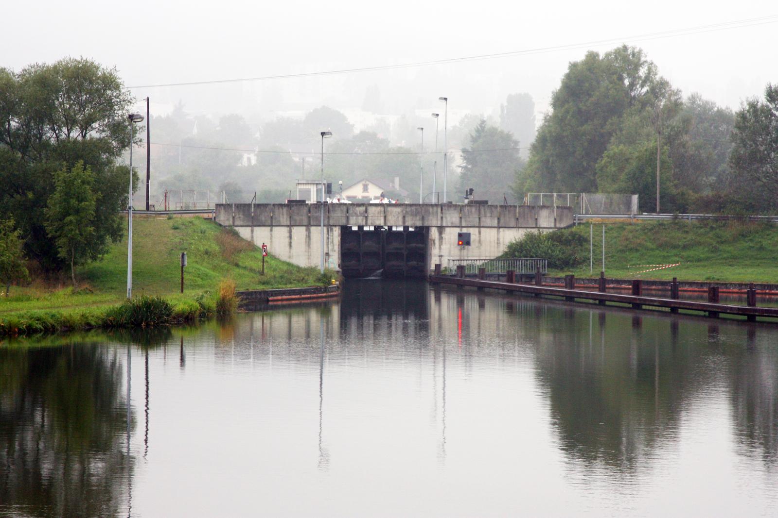
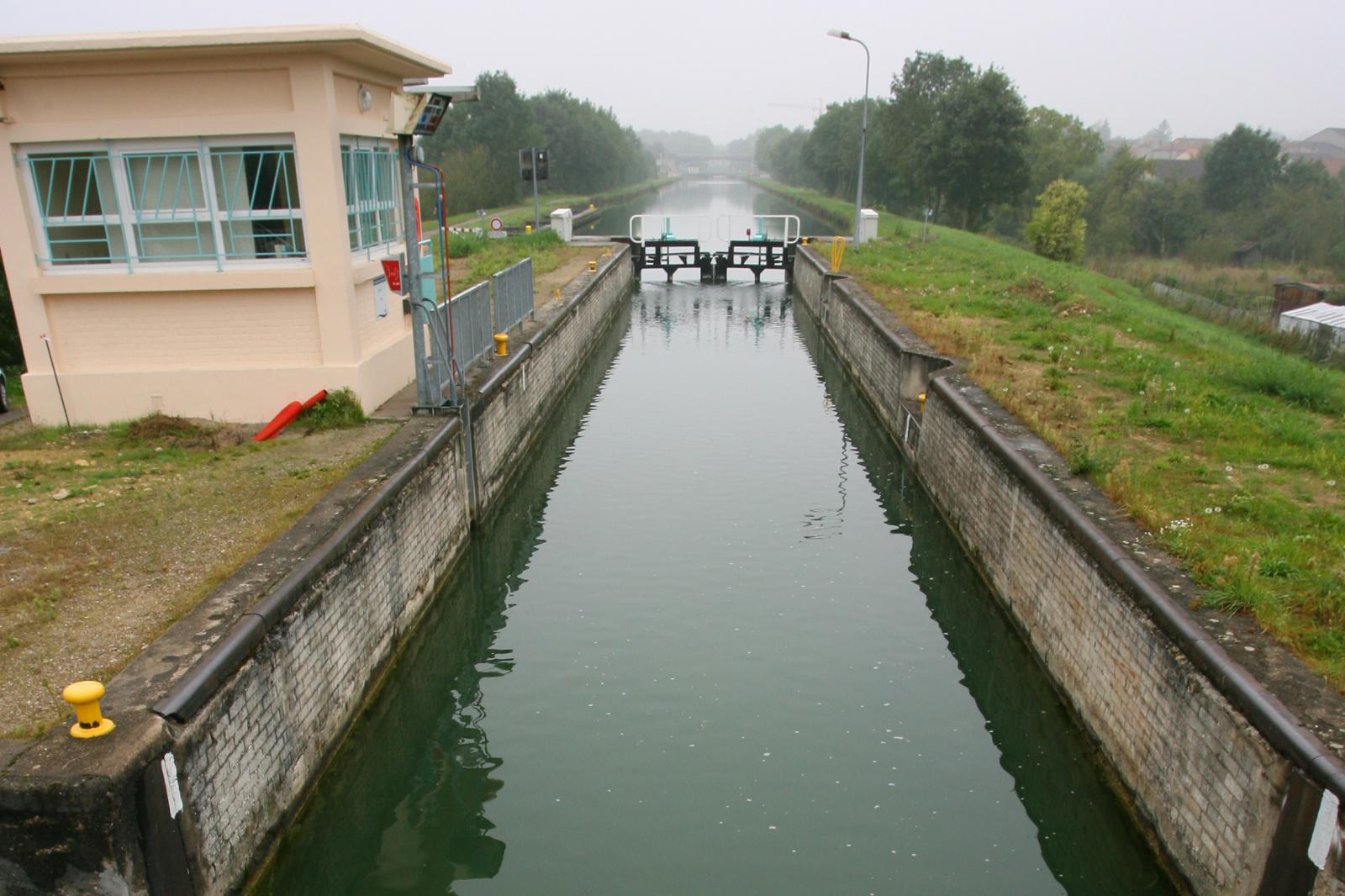
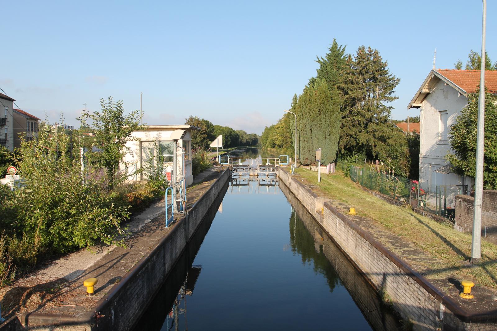
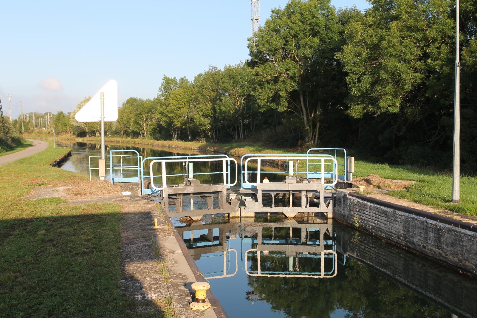
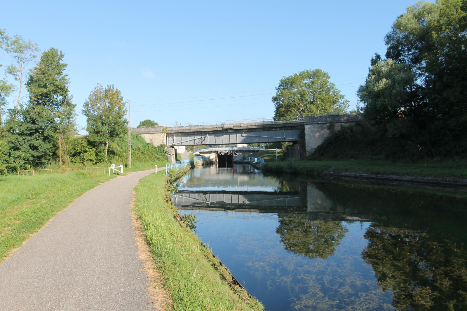
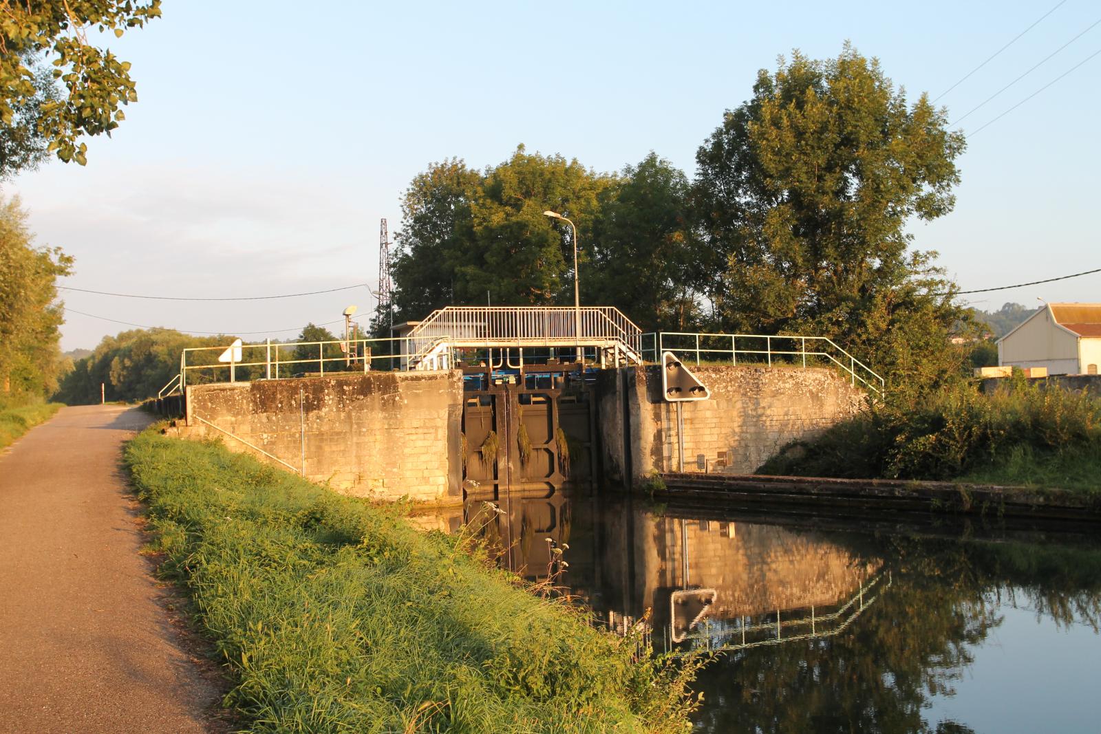
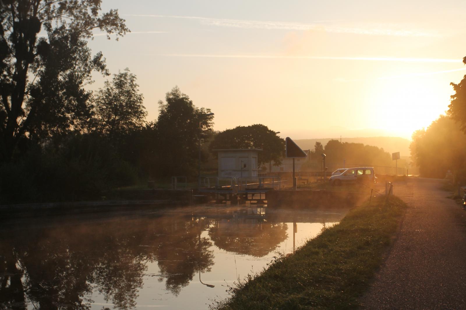
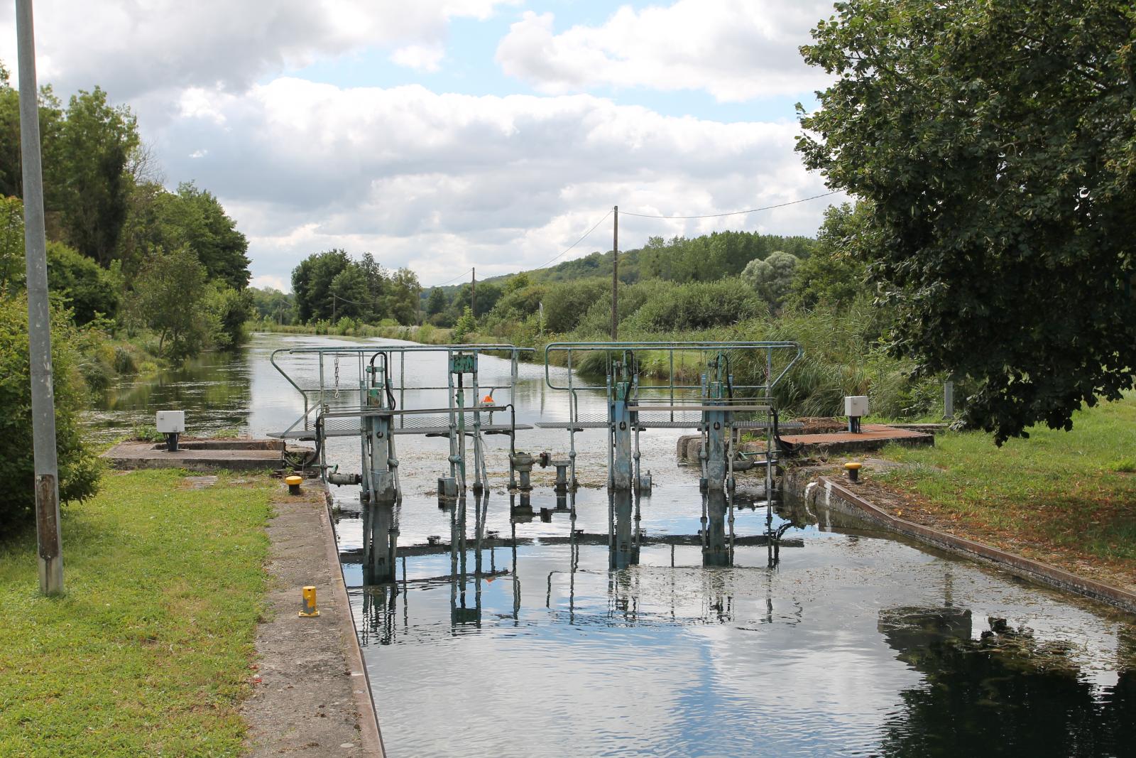
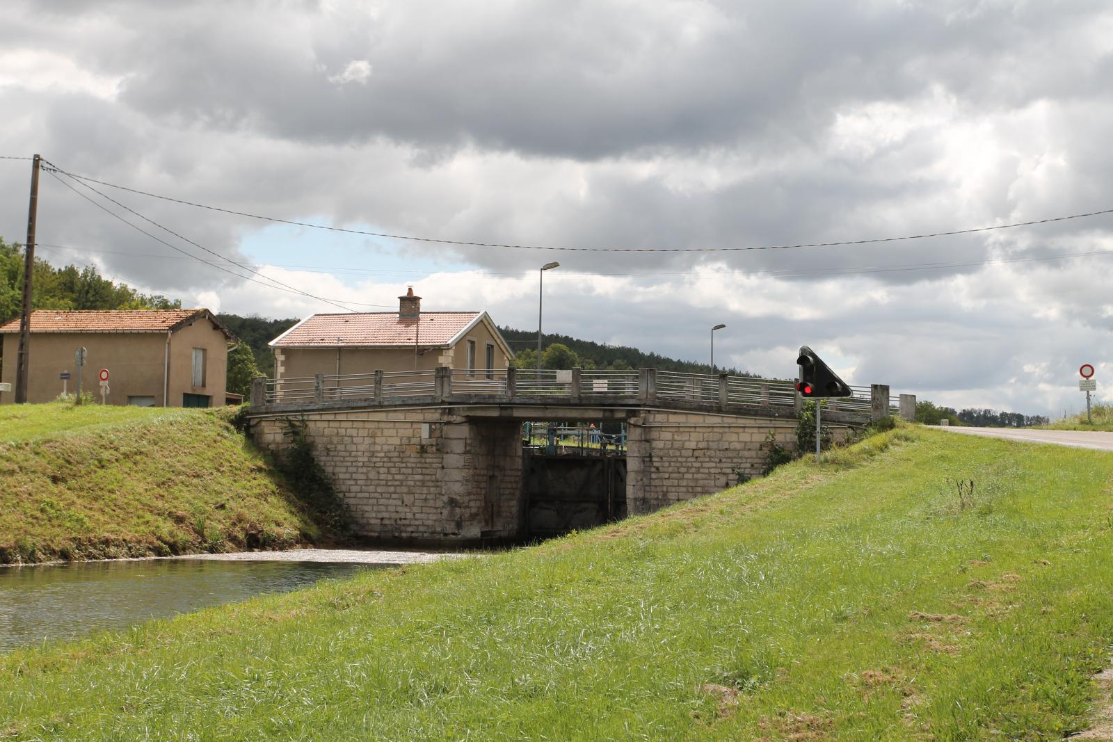
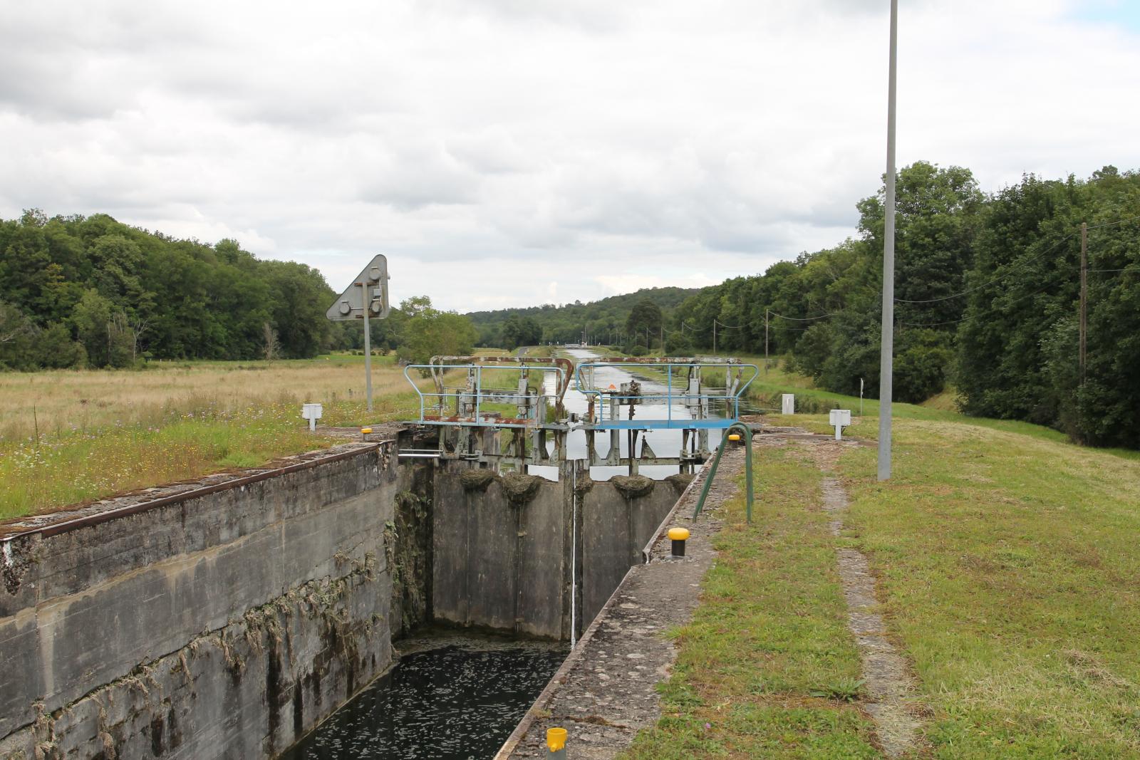
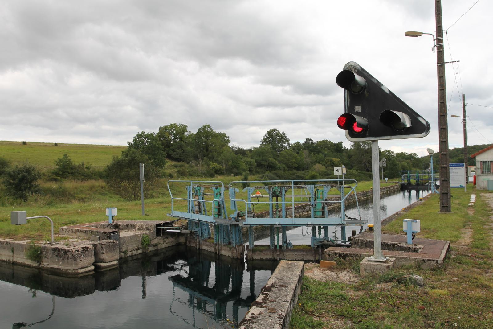
Het kanaal has 154 locks.
The fairway had originally 178 locks, but modifications to the fairway over time changed the number of locks.
Construction began : 1839.
Construction completed in the year : 1853 voltooid.
The highest section of the fairway is at 269.00, 280.55 meters.
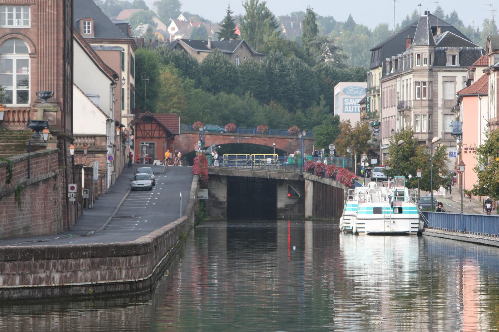
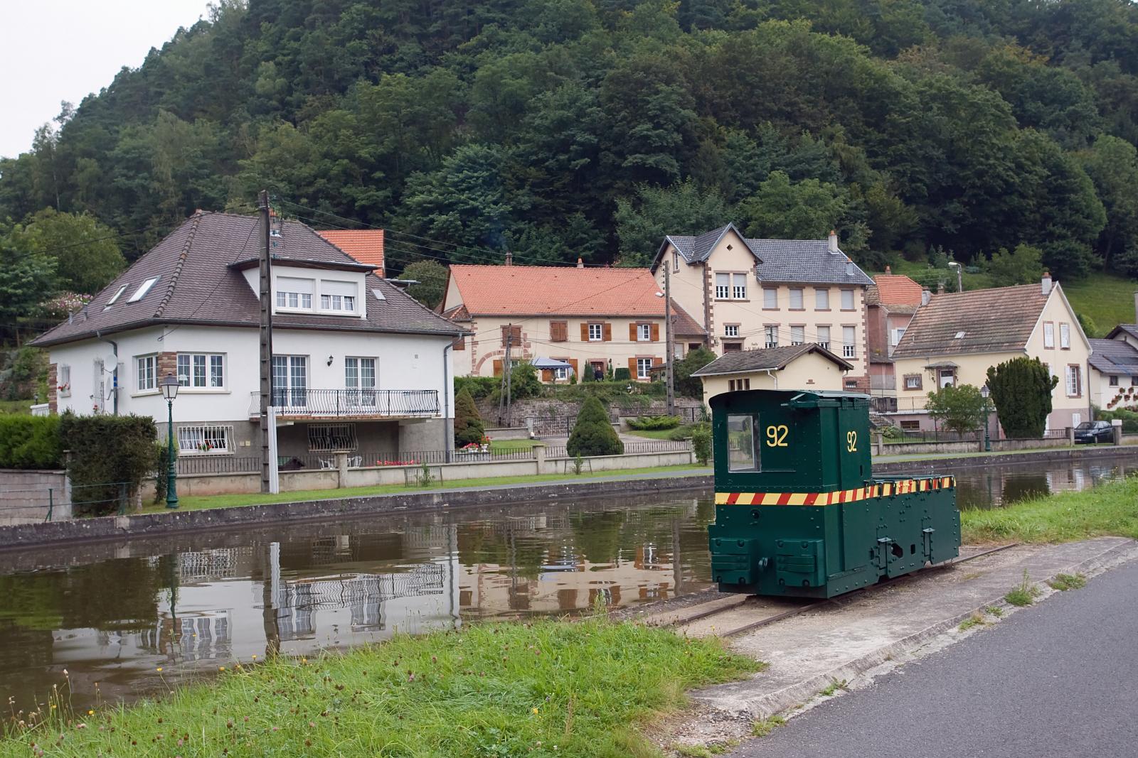
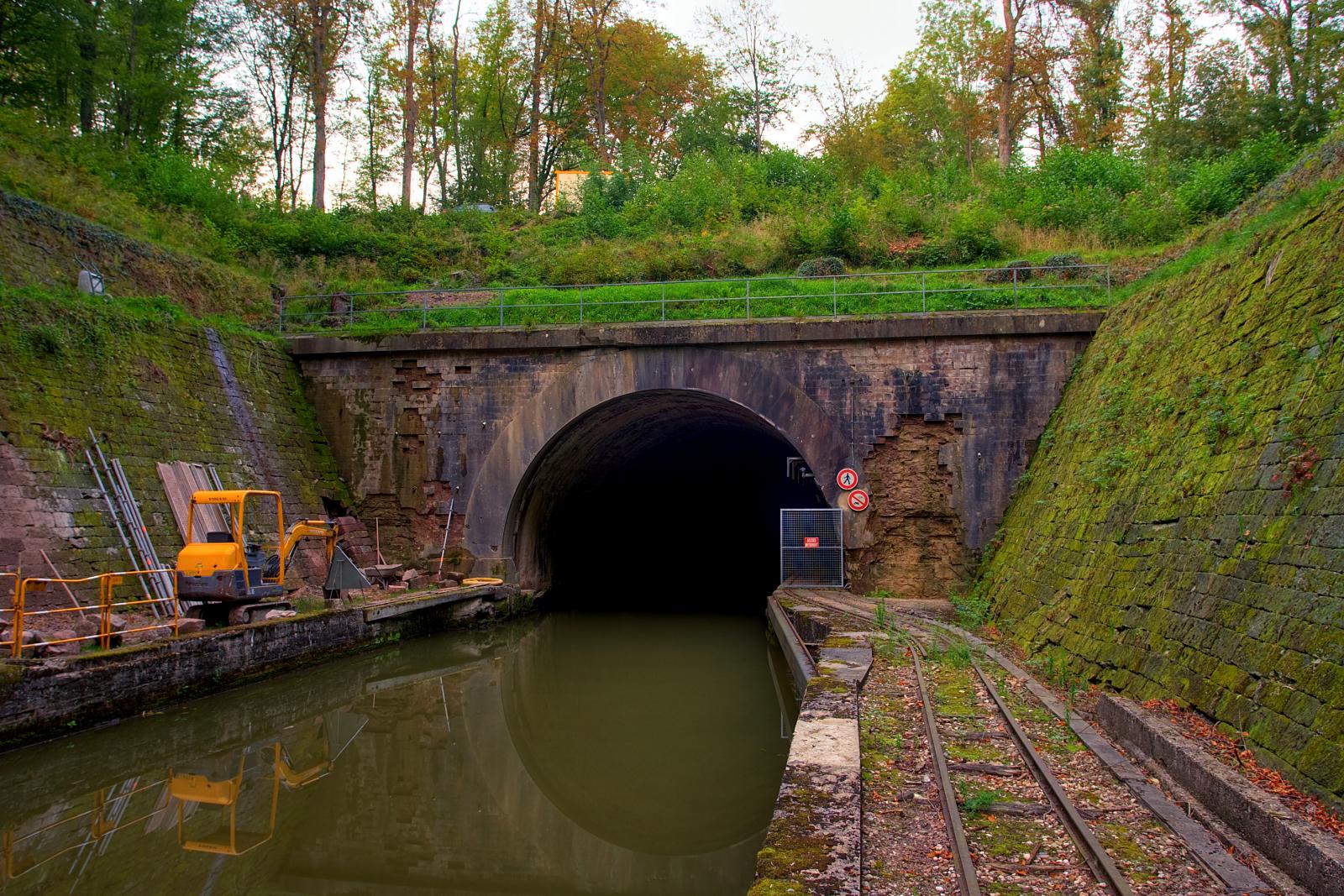
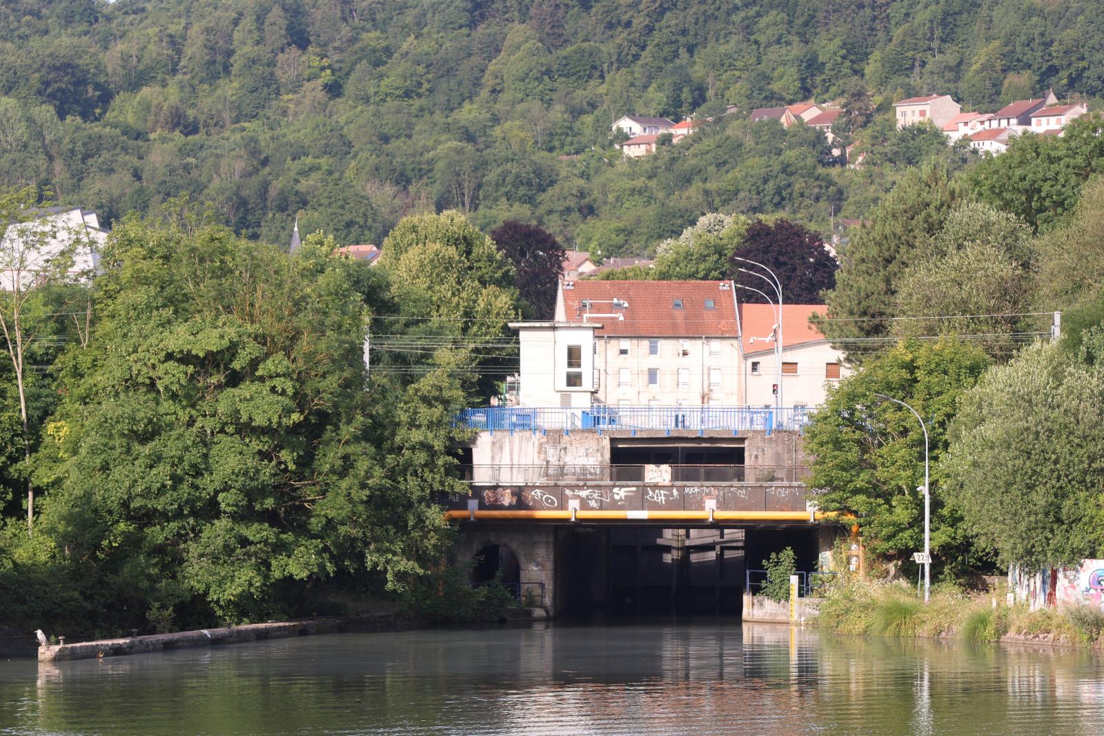
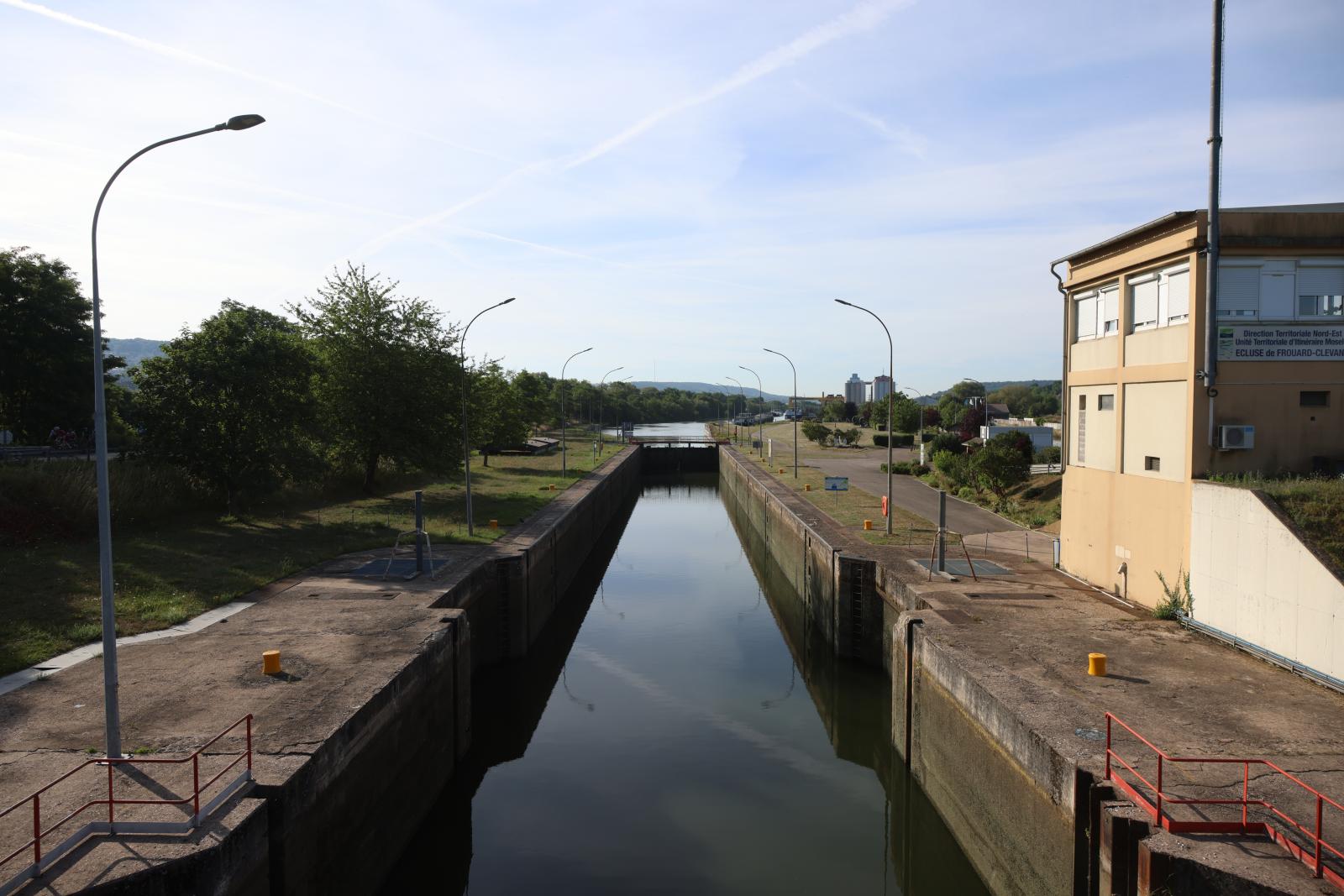
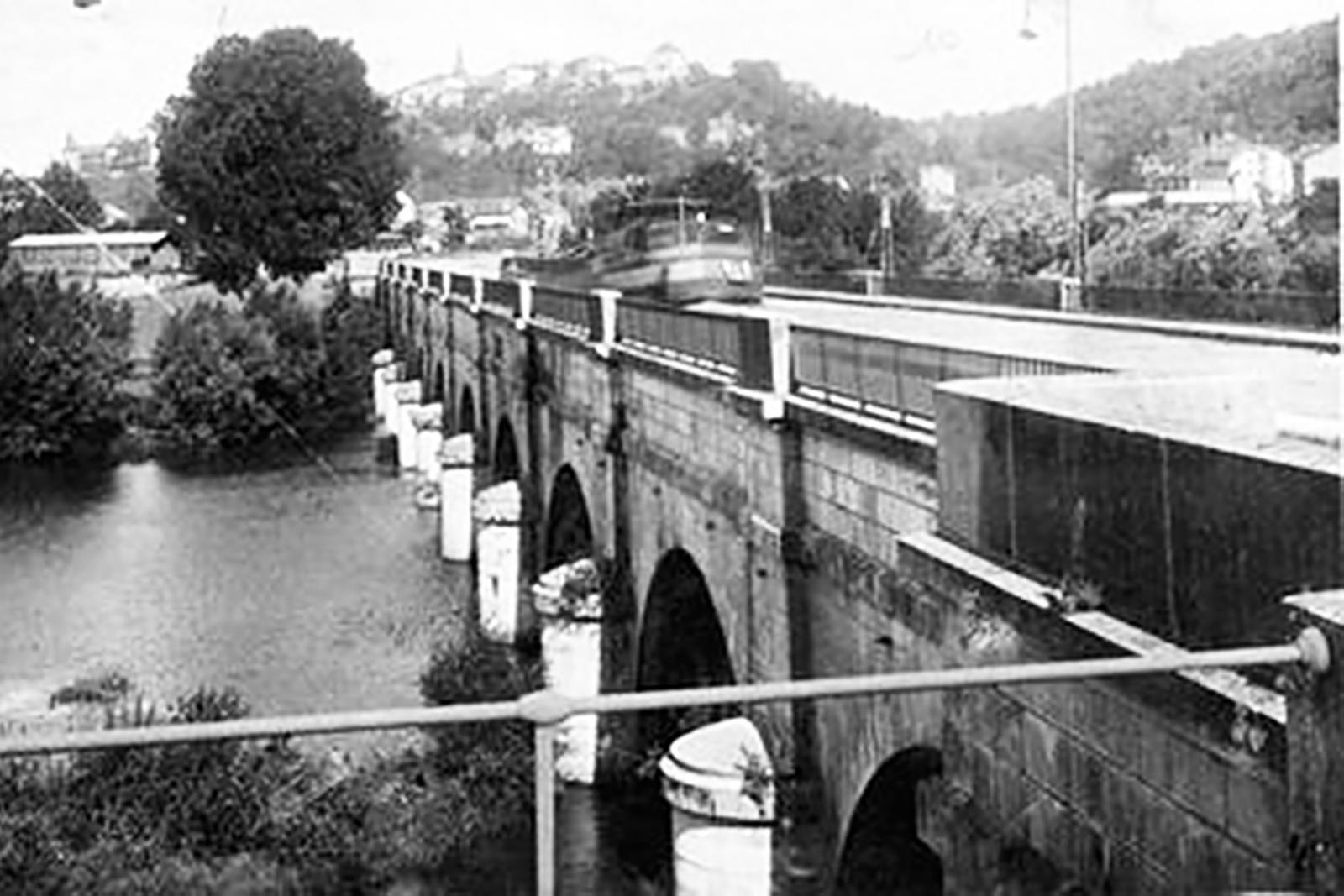
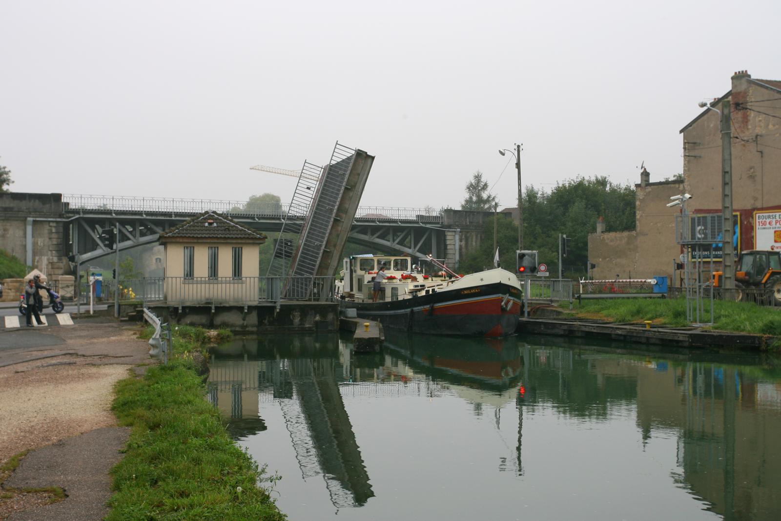
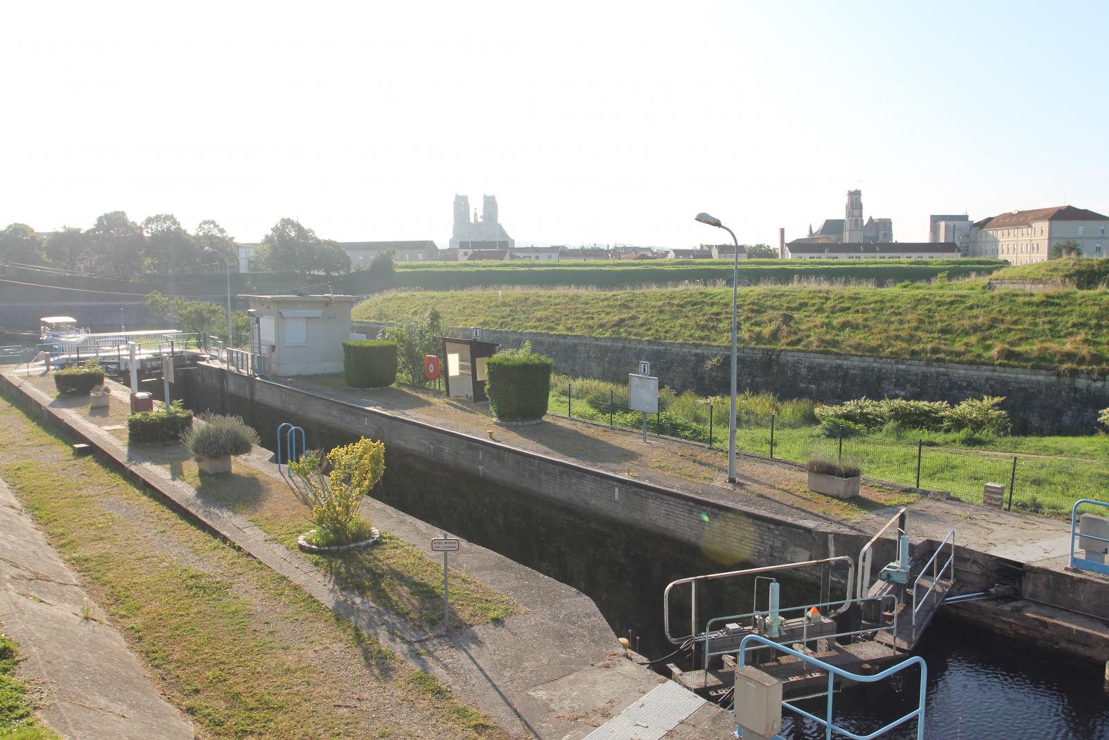
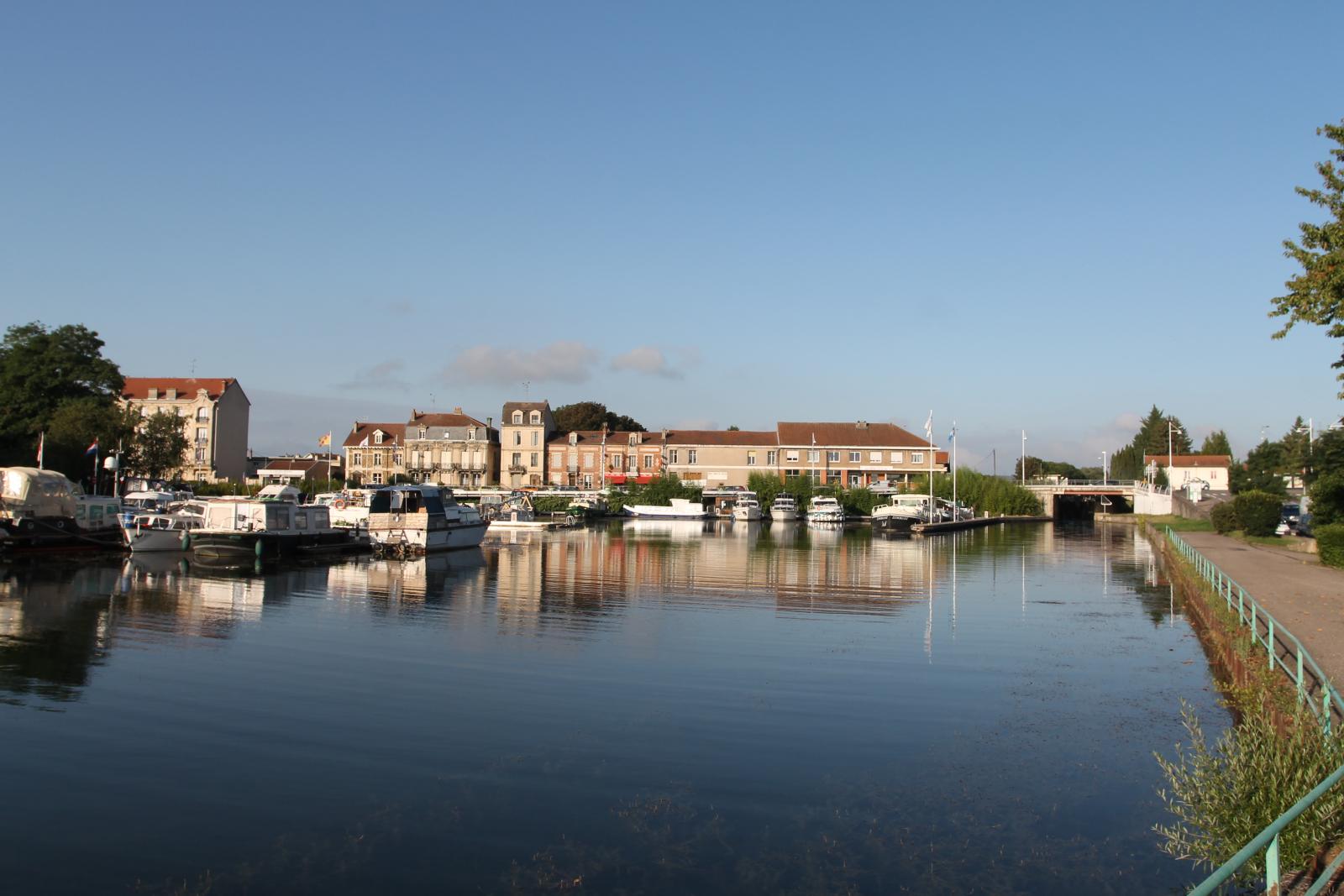
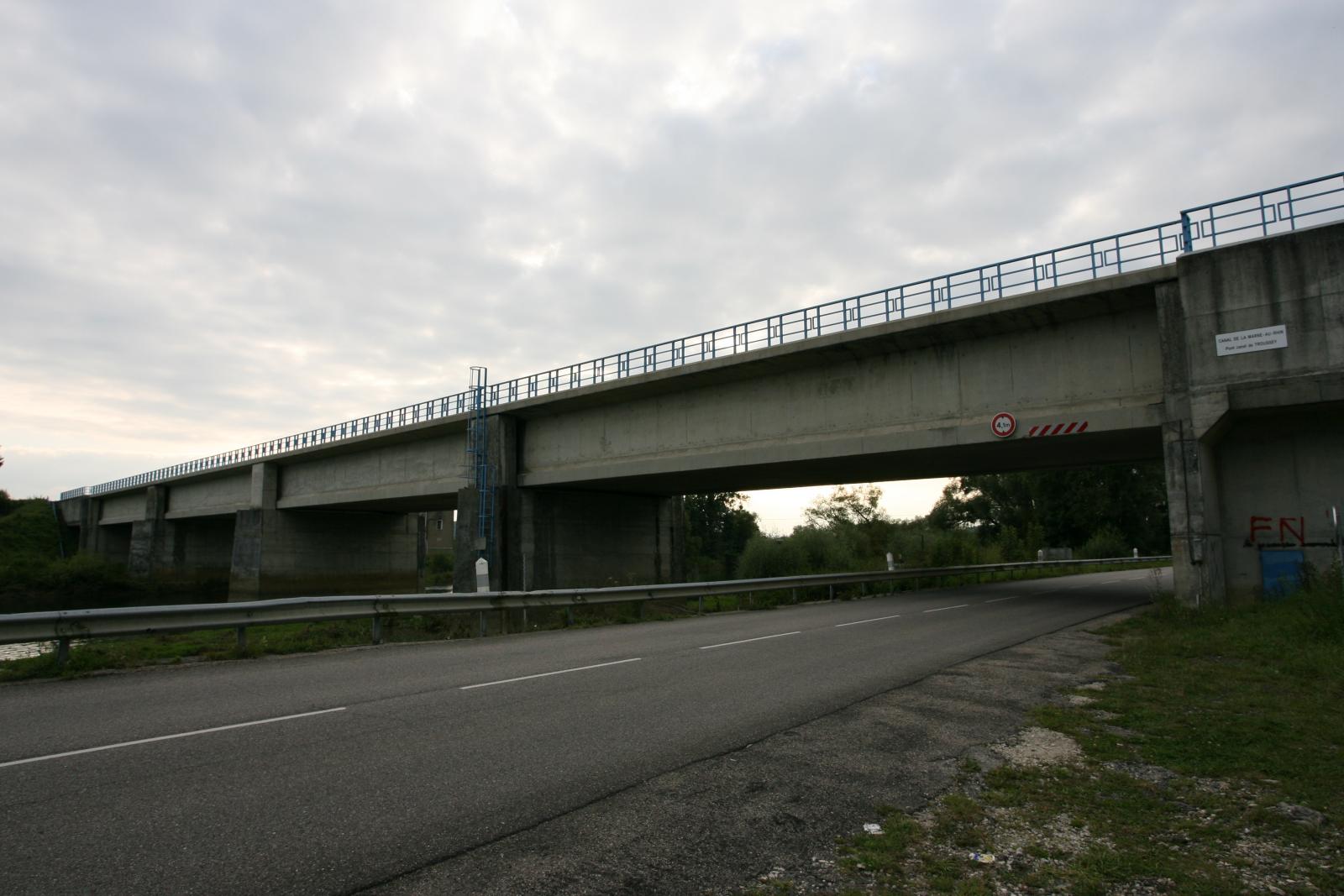
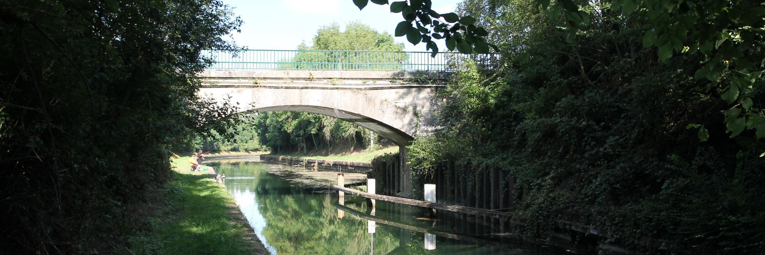
Fairway runs along the places : Saverne, Lutzelbourg, Gondrexange, Dombasle-sur-Meurthe, Nancy, Frouard, Toul, Pagny-sur-Meuse, Mauvages, Ligny-en-Barrois, Bar-le-Duc, Pargny-sur-Saulx.
Region : Grand Est.
The farewell runs through the countries : Frankrijk.
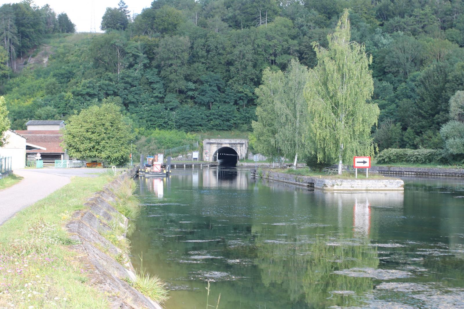
Intersecting waterways : Canal du Rhone au Rhin, Canal de Houillères de la Sarre, Moezel, Canal de la Meuse, Canal des Vosges, Canal latéral à la Marne, Canal entre Champagne et Bourgogne