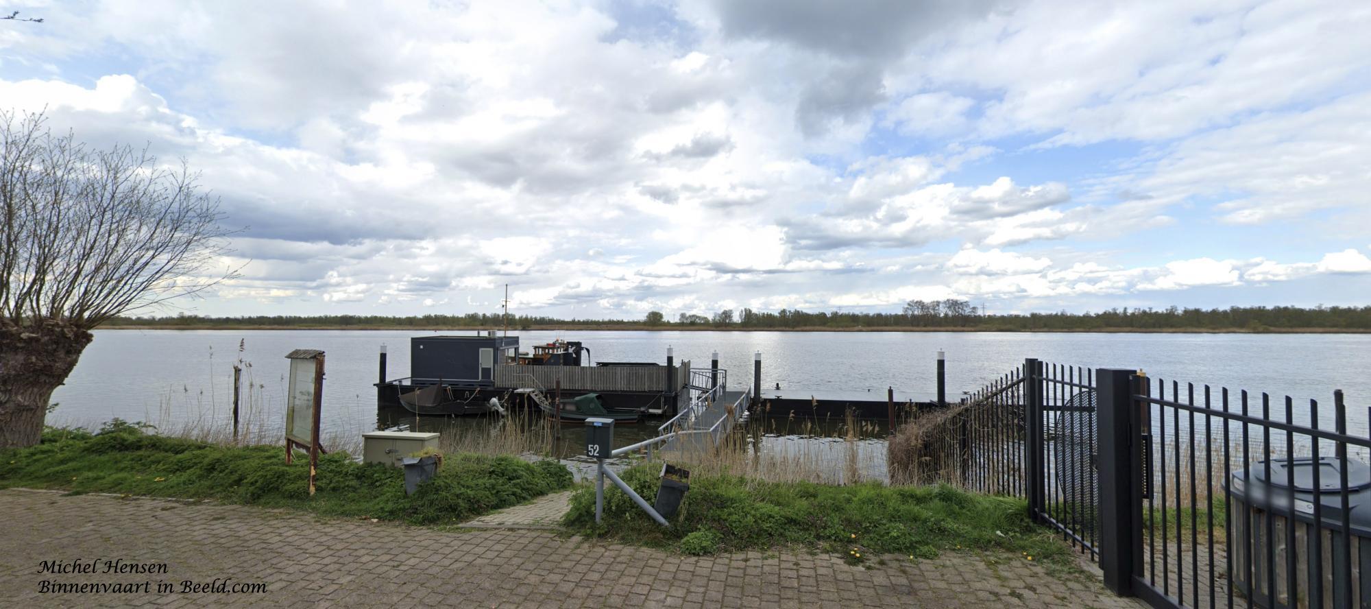
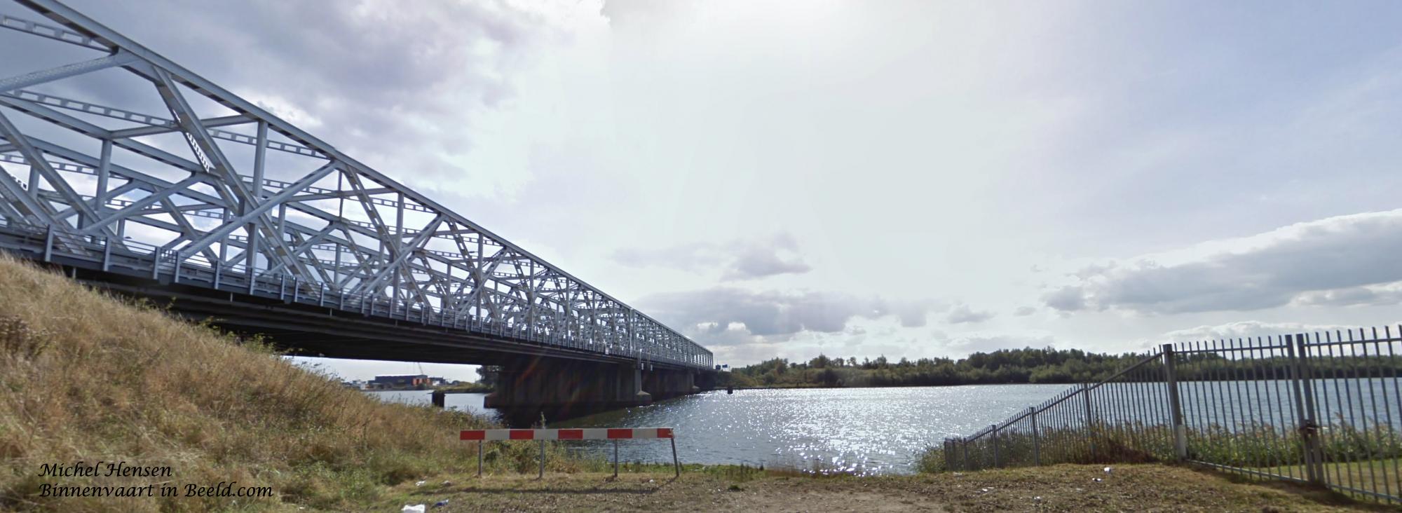

The Amer is a river in the Dutch province of North Brabant, which continues from the Bergsche Maas. The Amer begins in Geertruidenberg where the water from the Donge (from the south) and from the Spijkerboor (from the north) come together with the water from the Bergsche Maas. The river is almost twelve kilometers long and forms the southern boundary of the De Biesbosch National Park. The Amer flows into the Hollands Diep. Along the river we find the villages of Drimmelen and Lage Zwaluwe.
The Amer is much older than the Bergsche Maas. Its origin is related to the St. Elizabeth's flood in 1421. Before the completion of the Bergsche Maas in 1904, the Amer was actually a wide tidal creek, which was part of the Biesbosch.