Bourgogne canal
A long and beautiful canal with a very long genesis
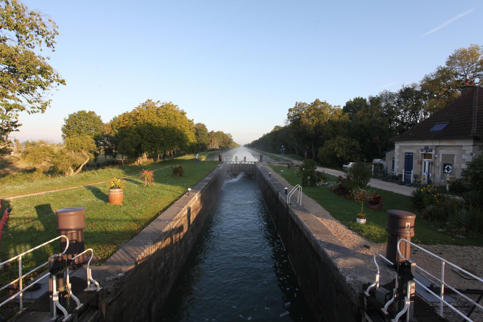
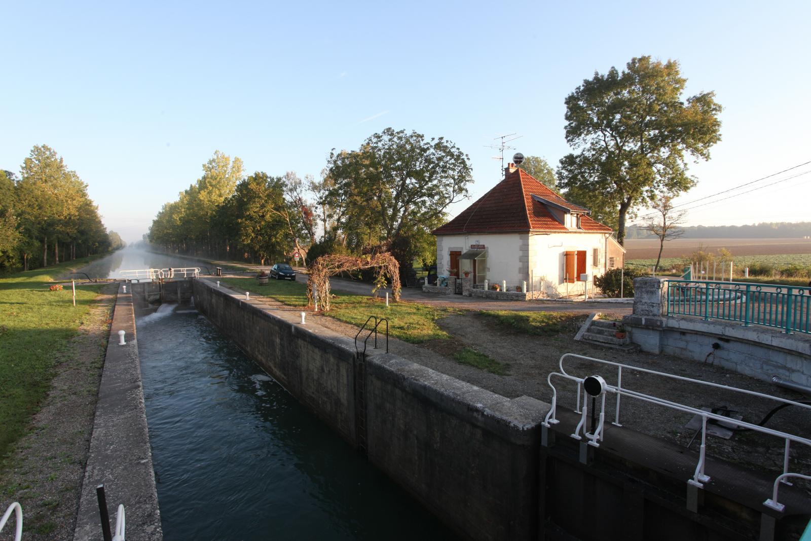
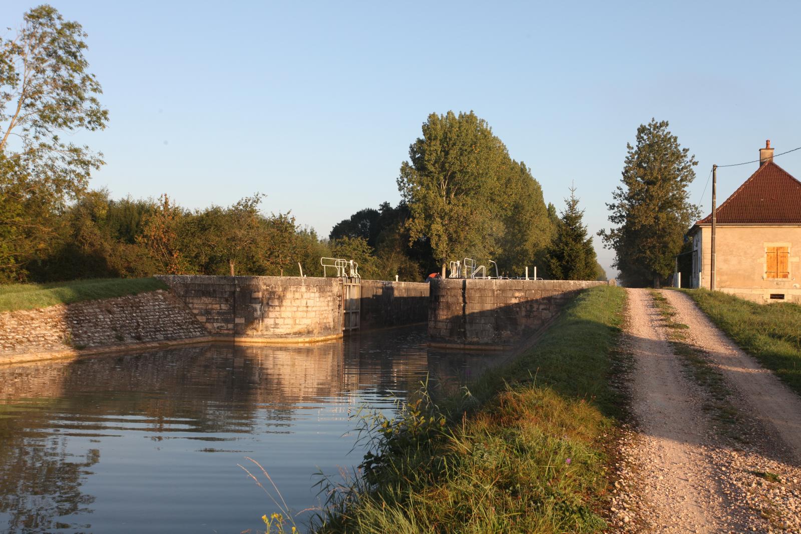
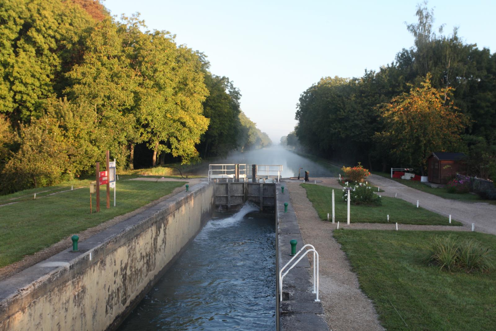
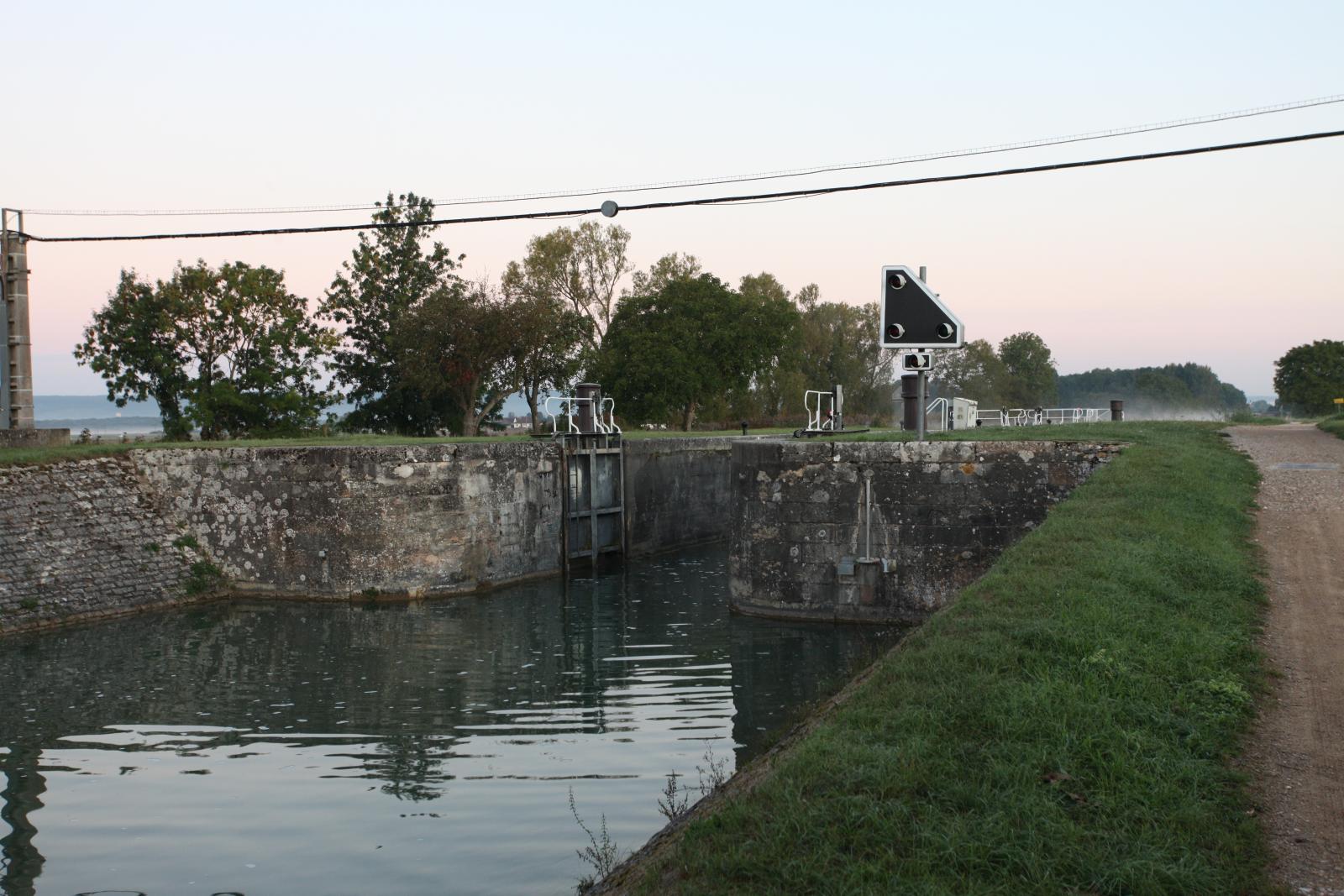
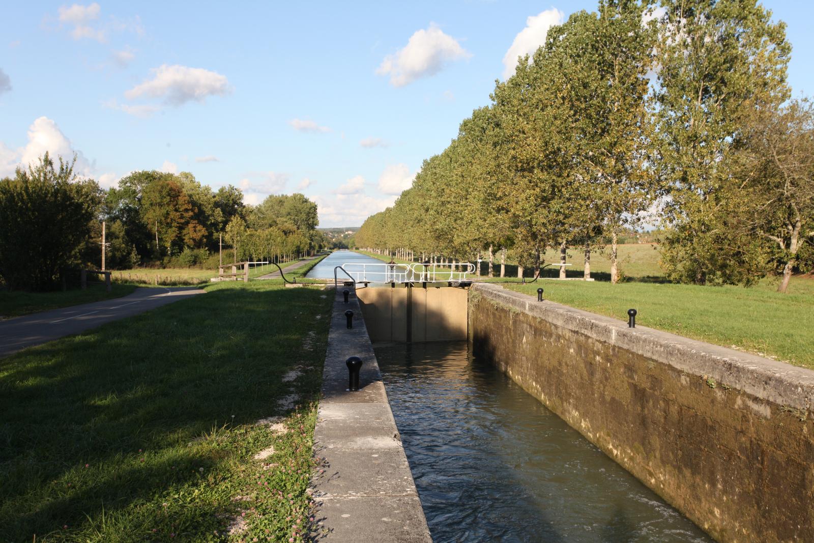
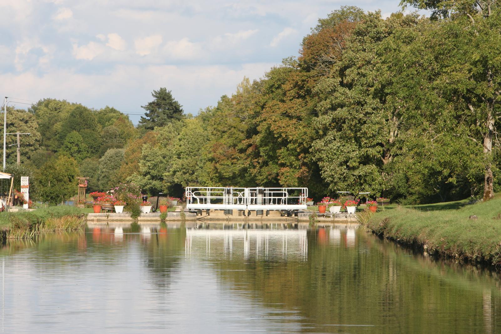
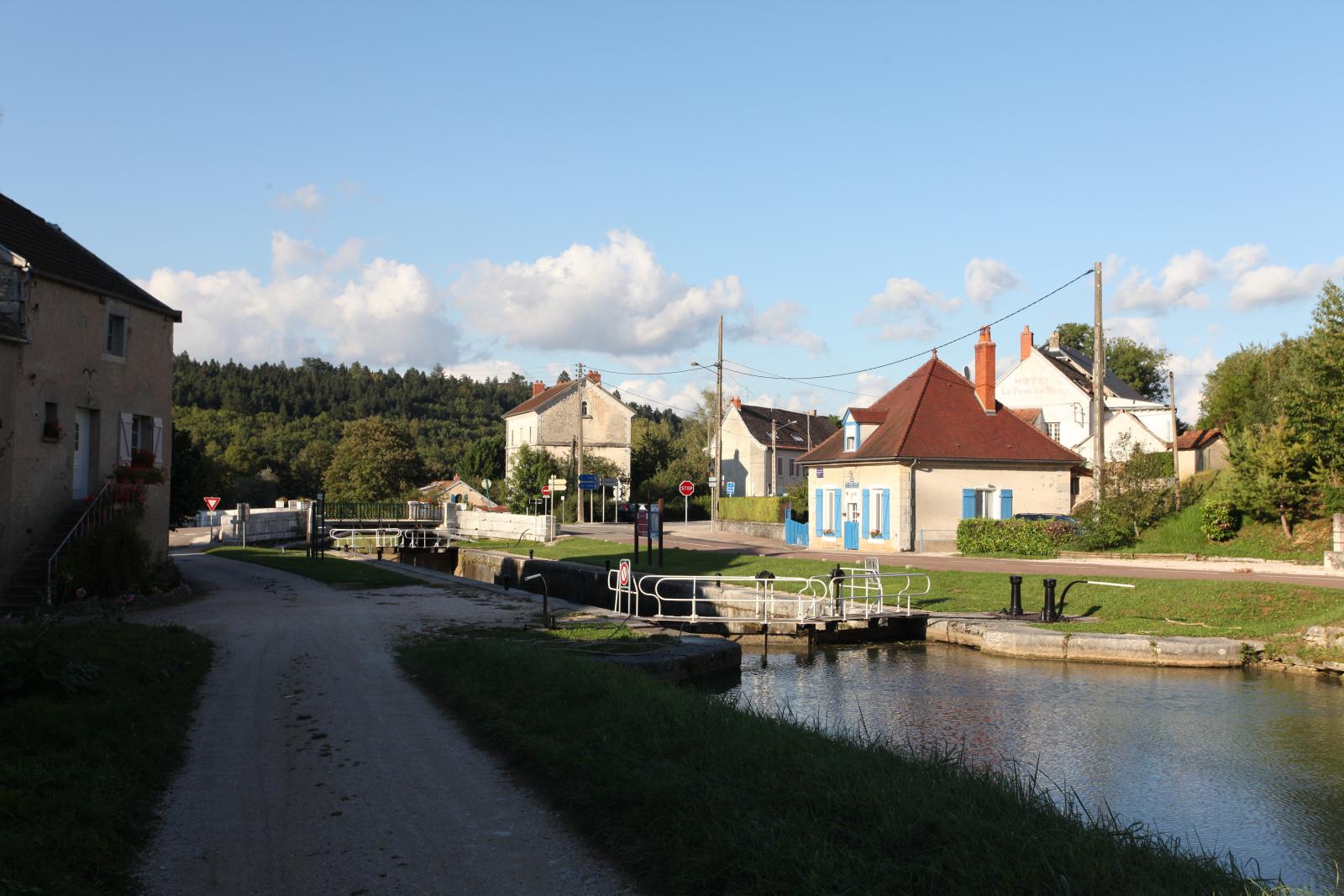
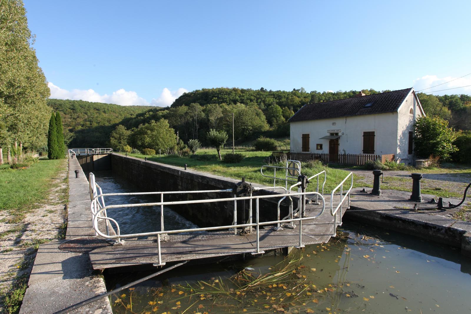
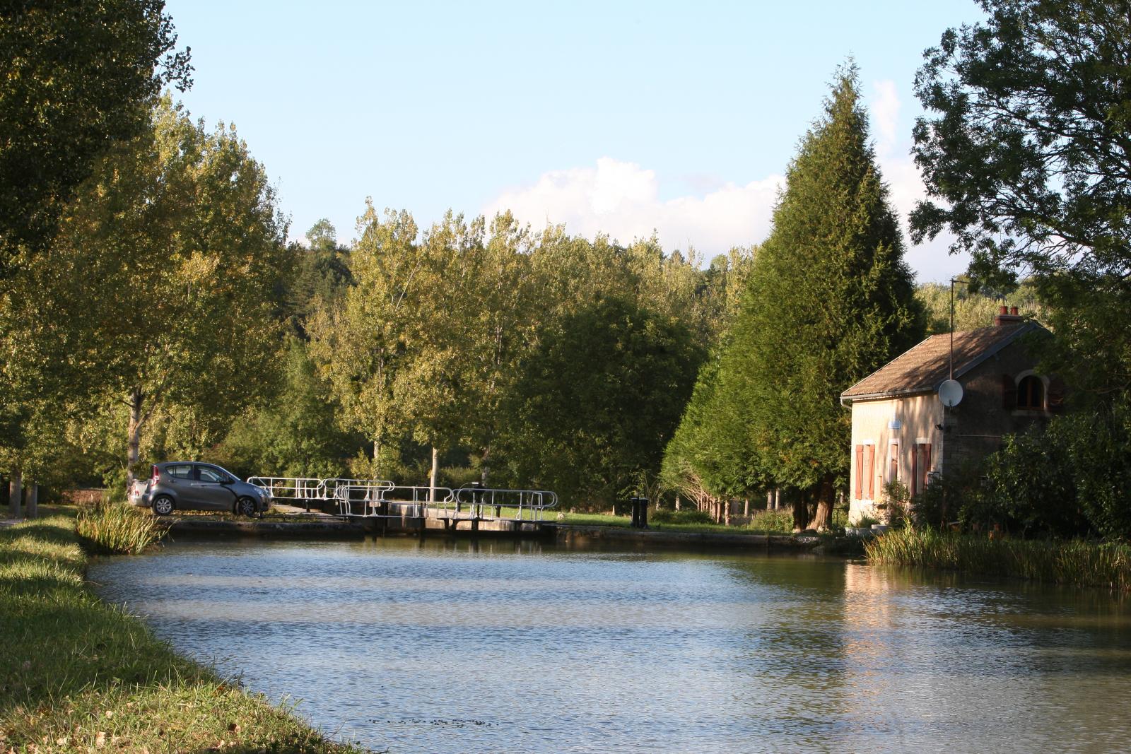
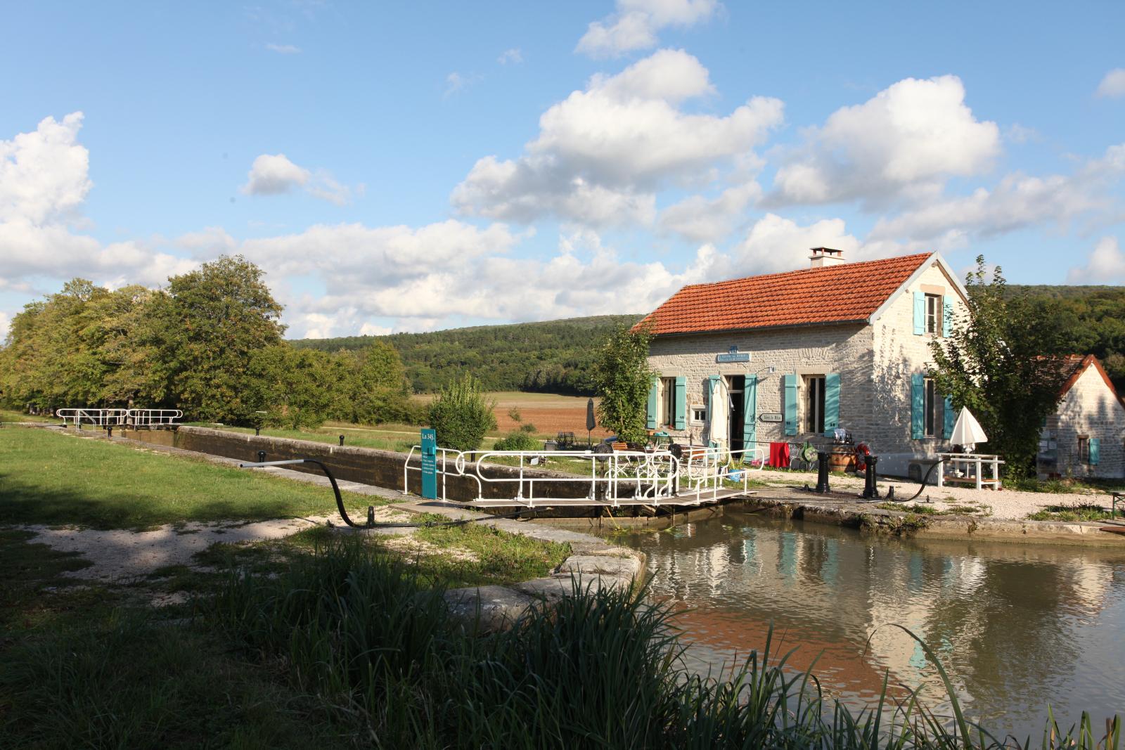
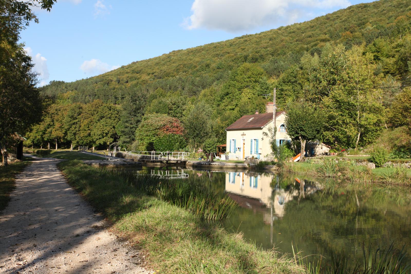
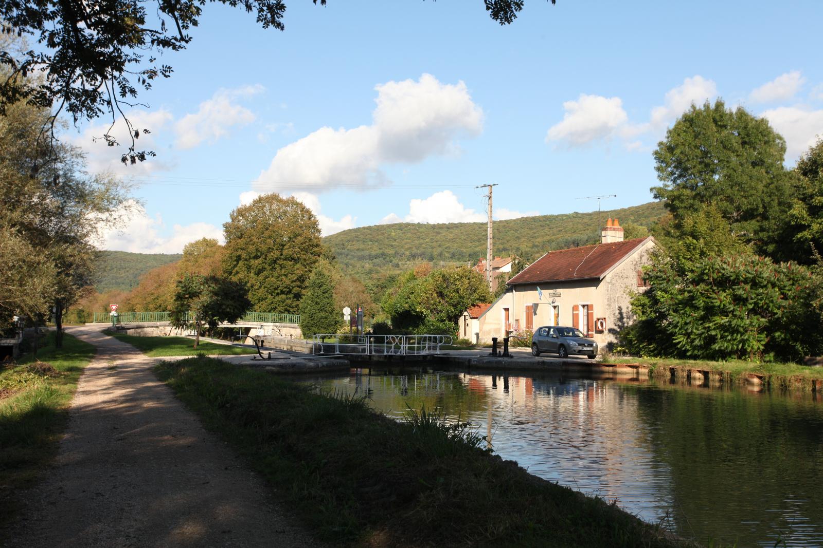
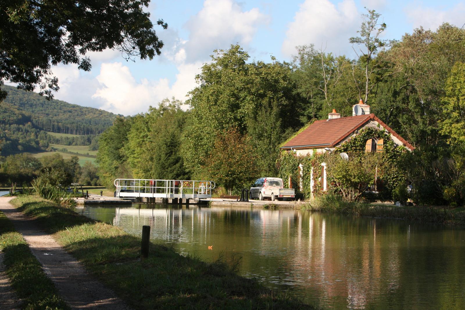
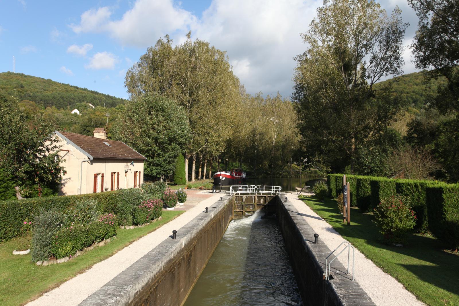
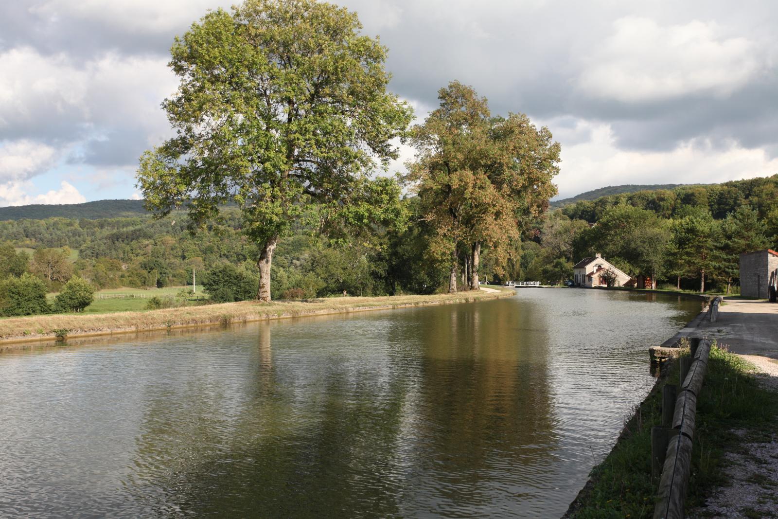
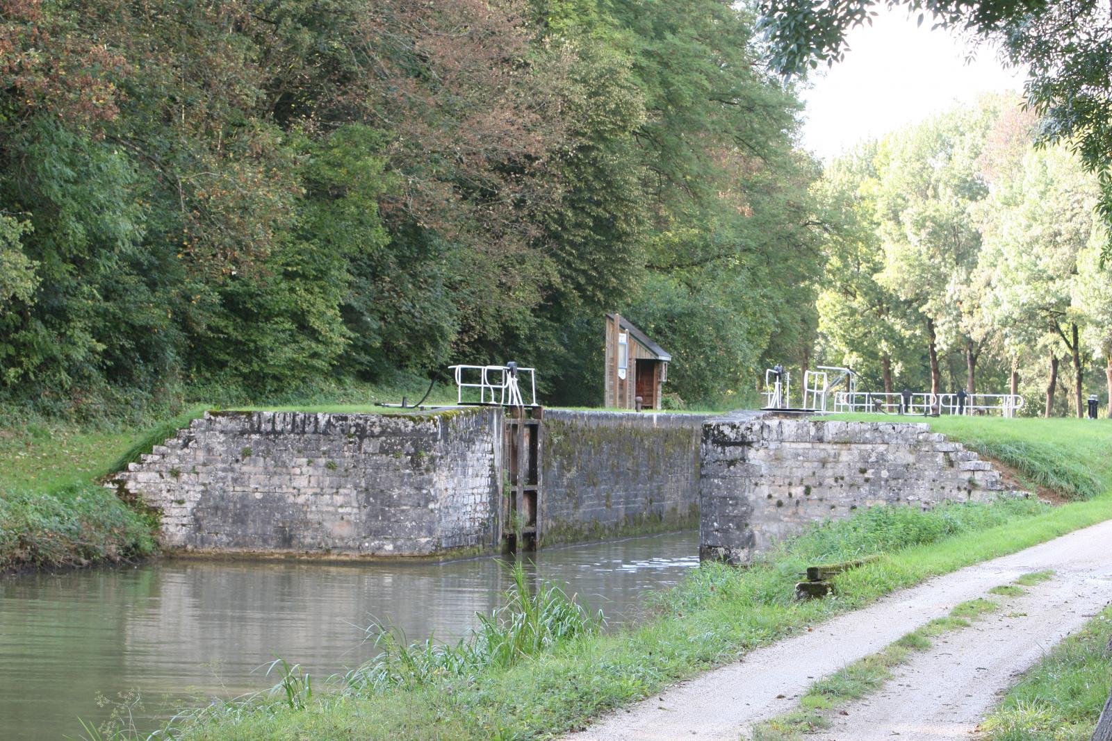
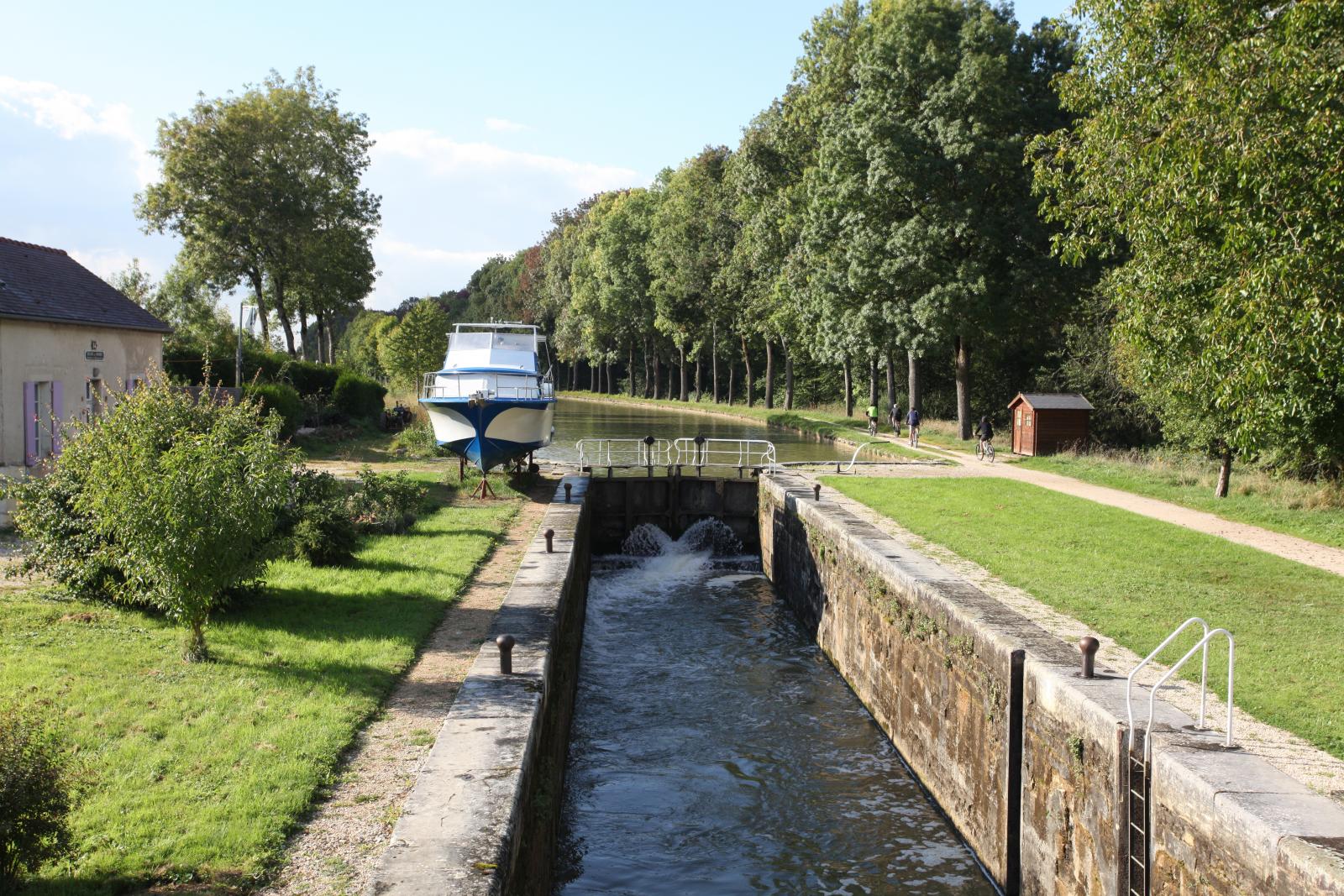
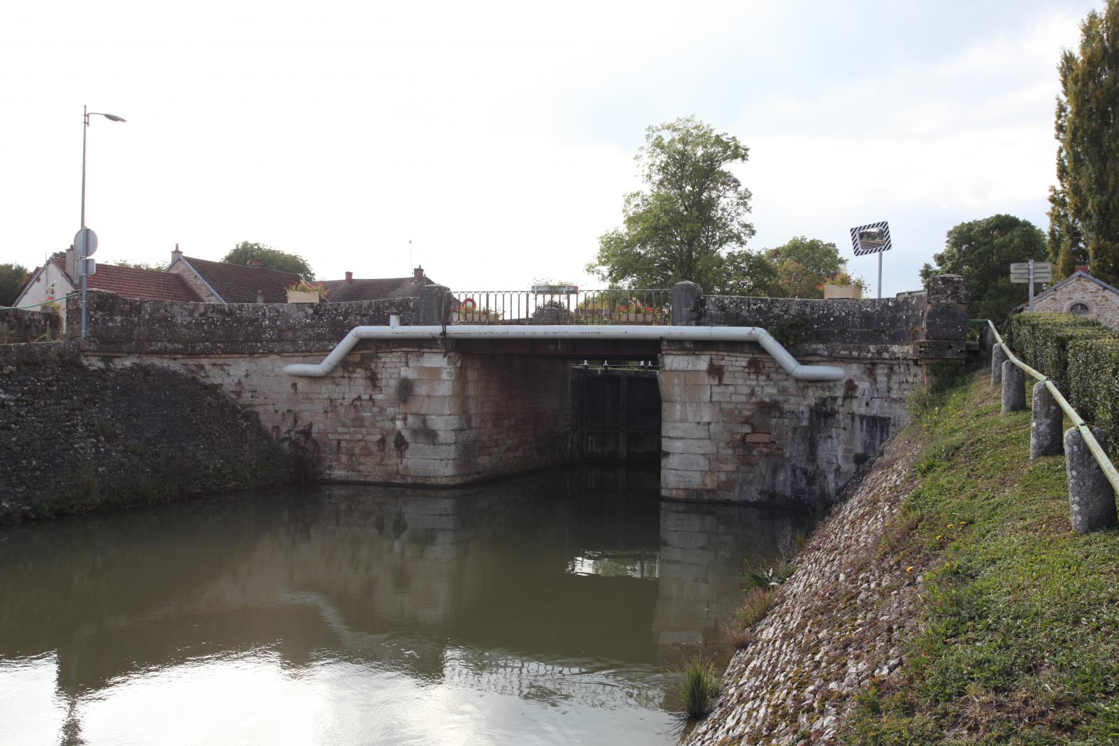
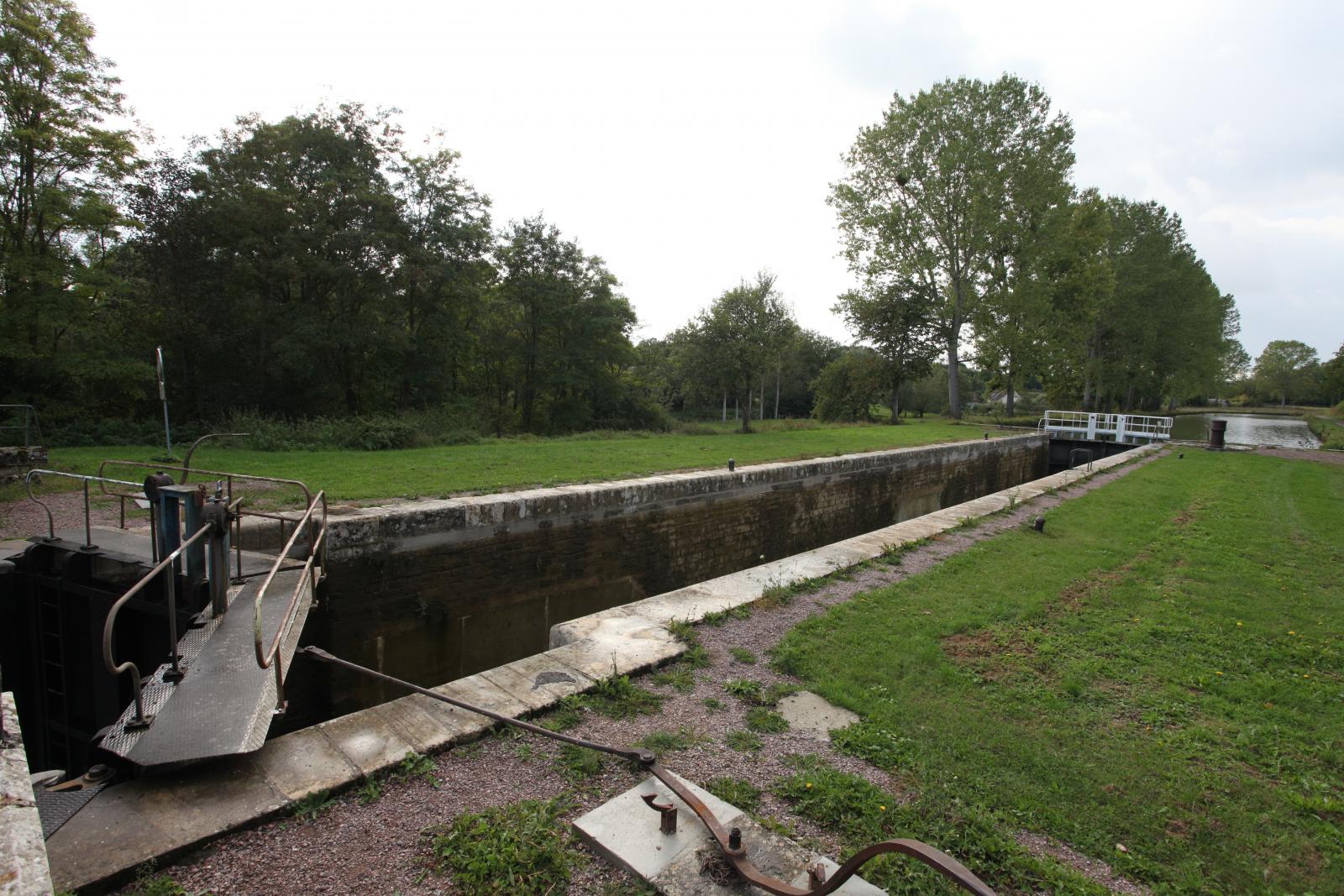
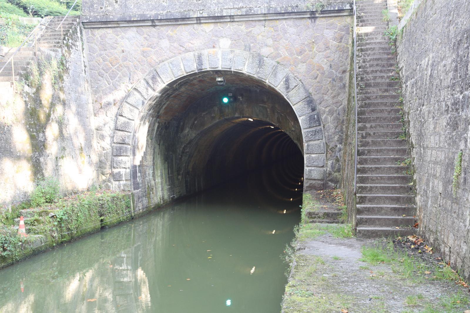
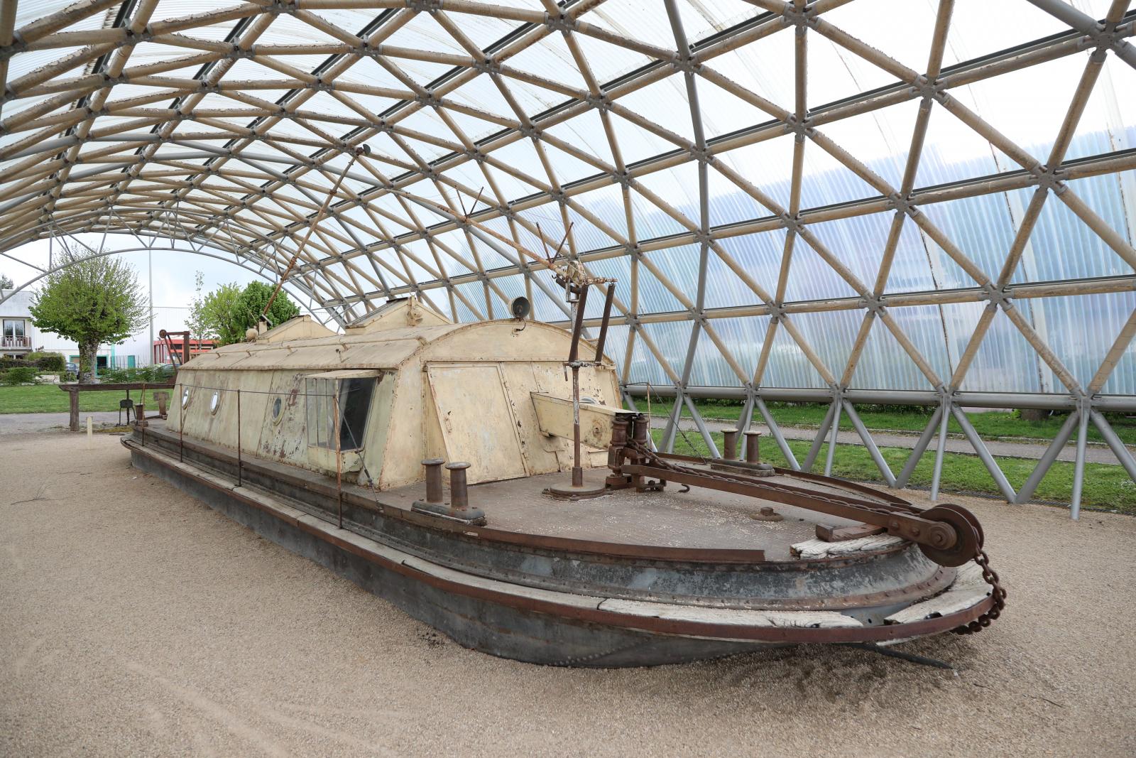
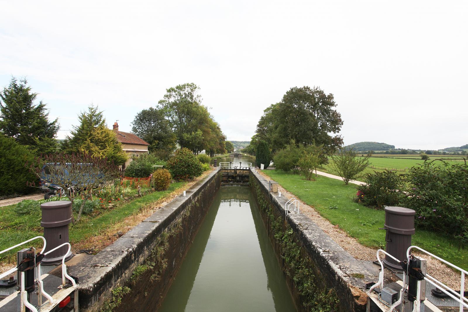
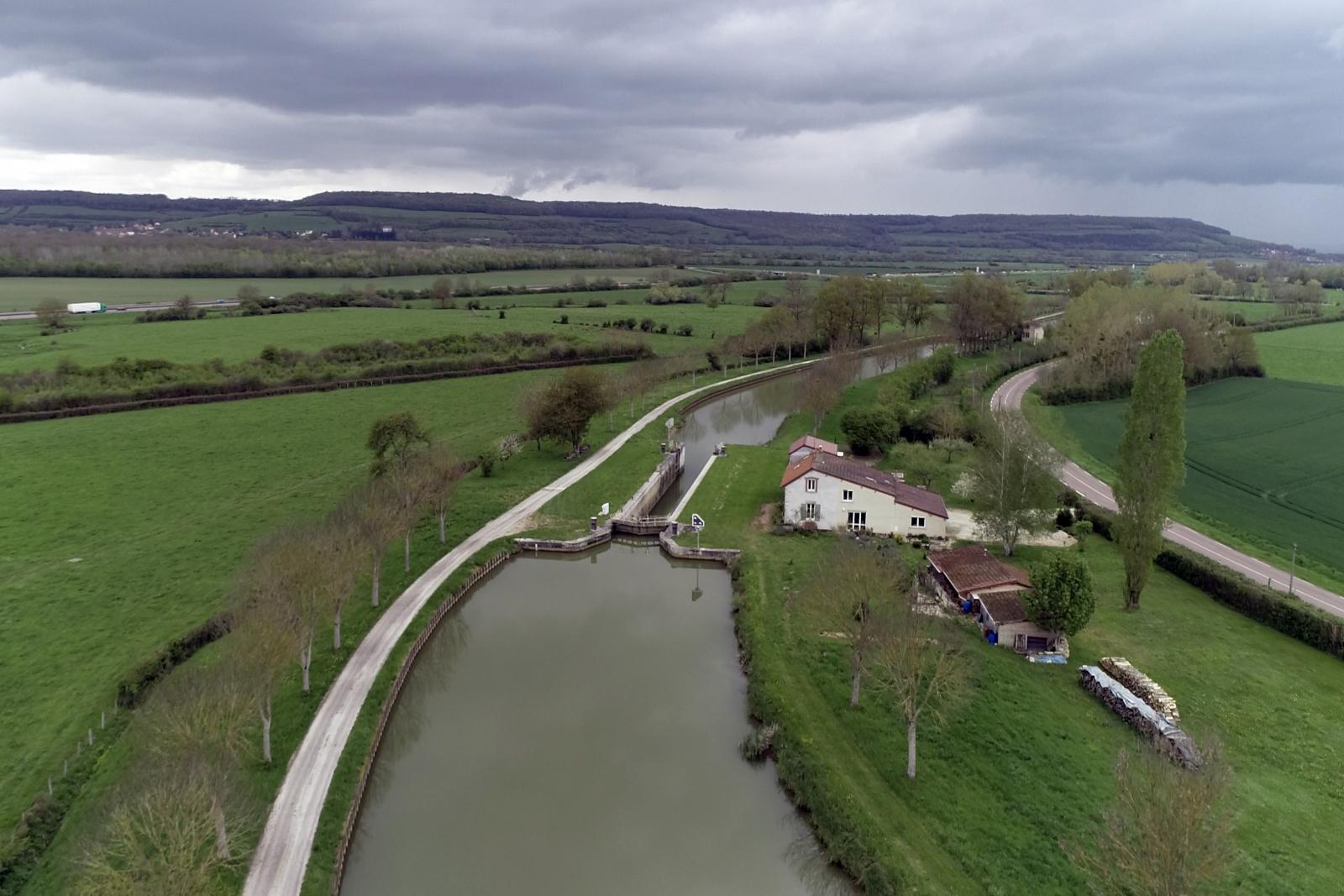
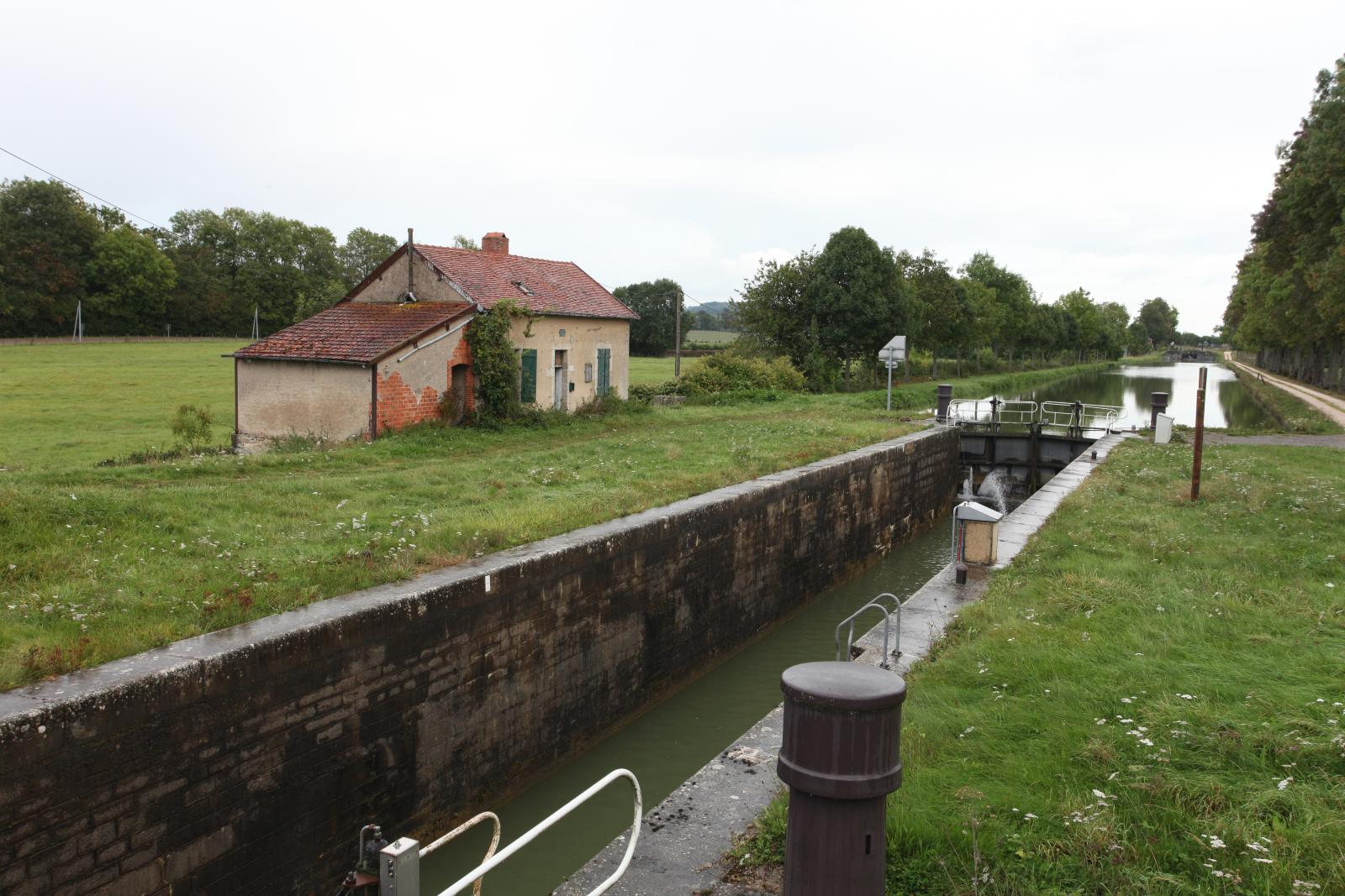
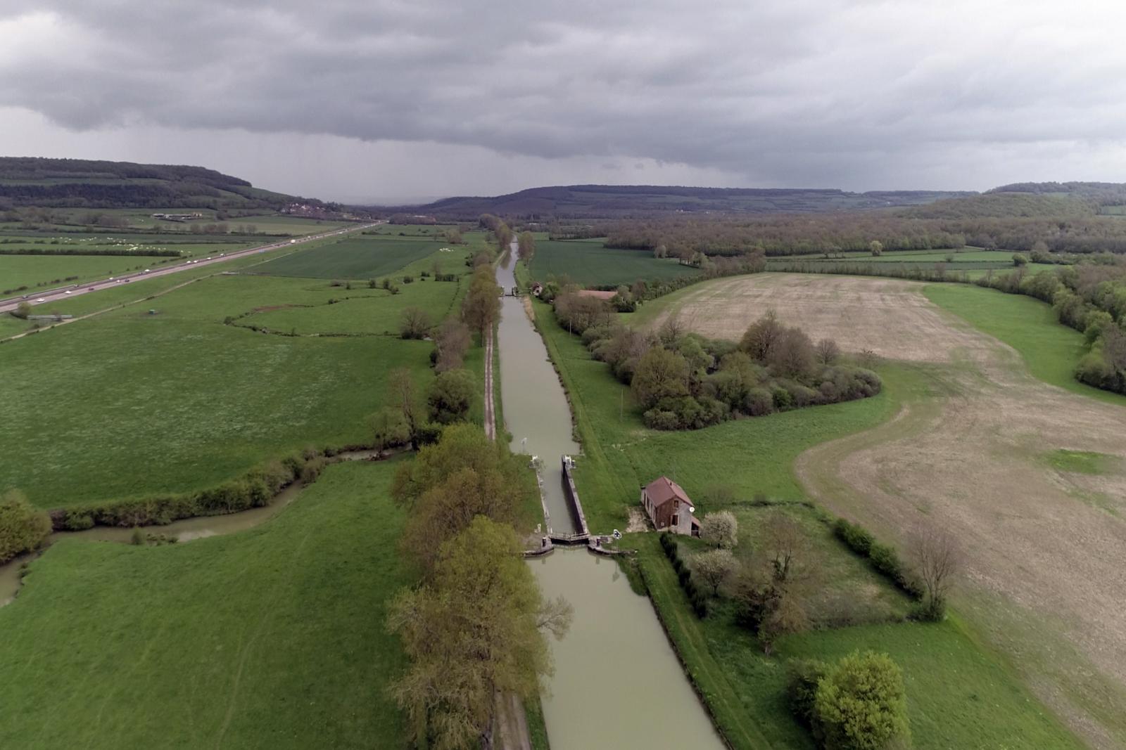
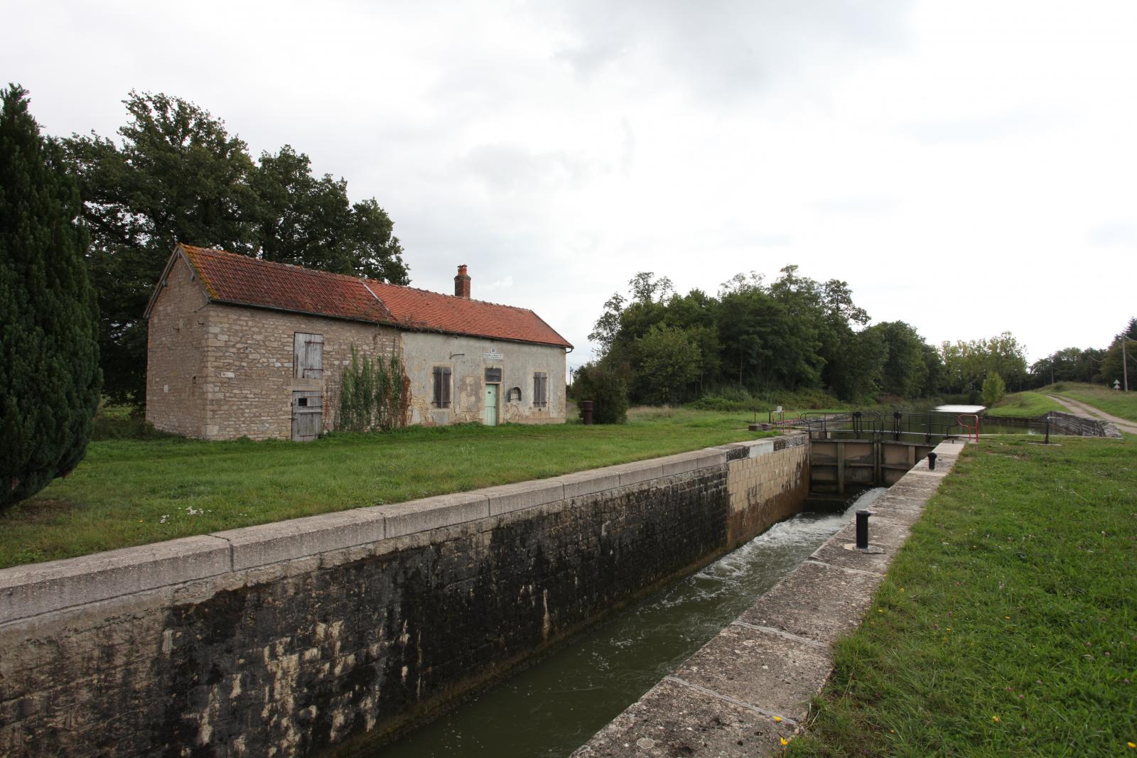
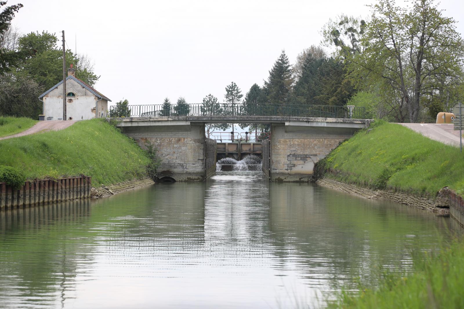
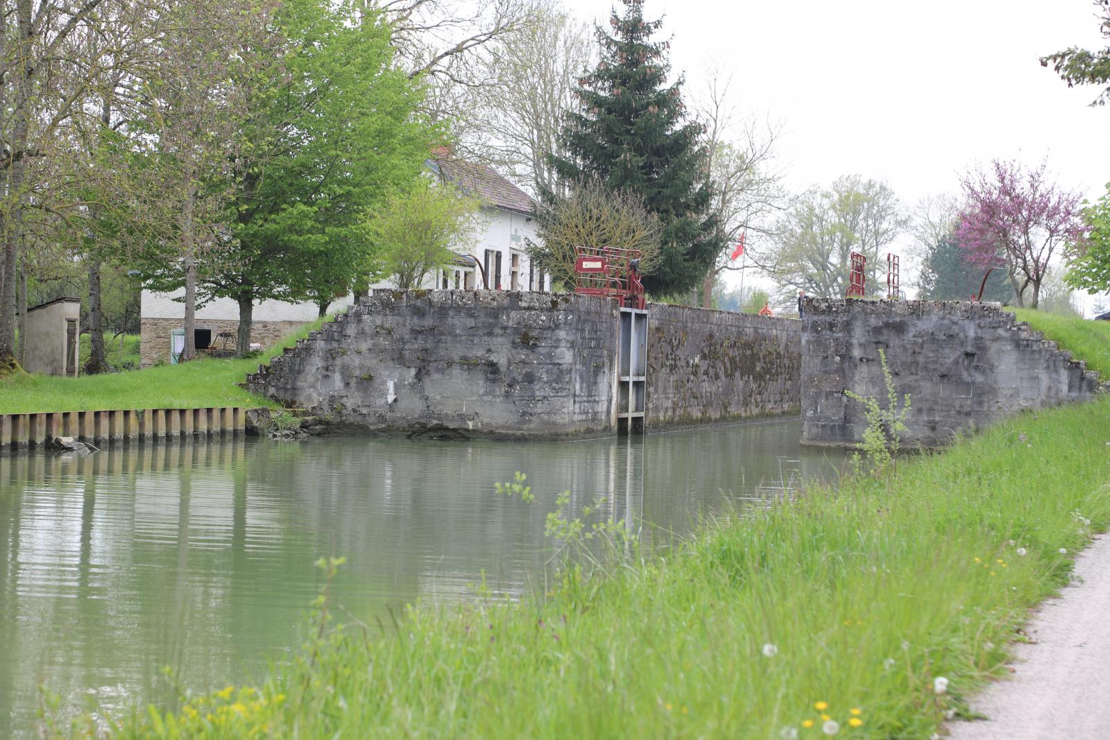
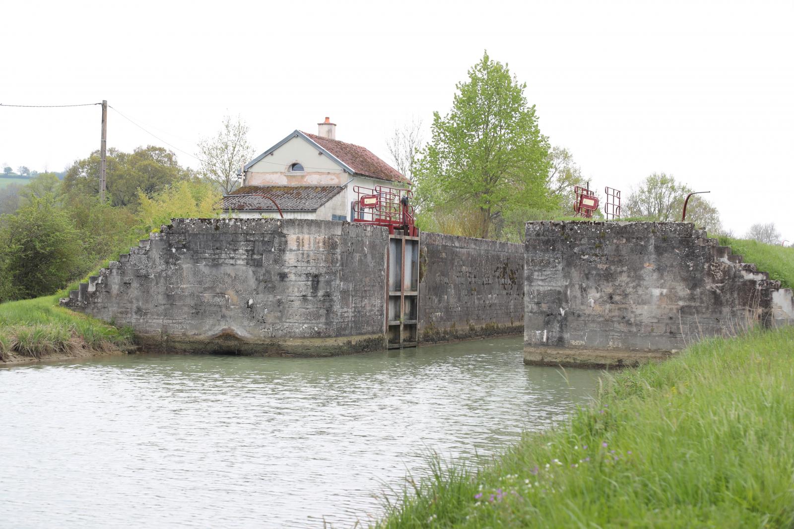
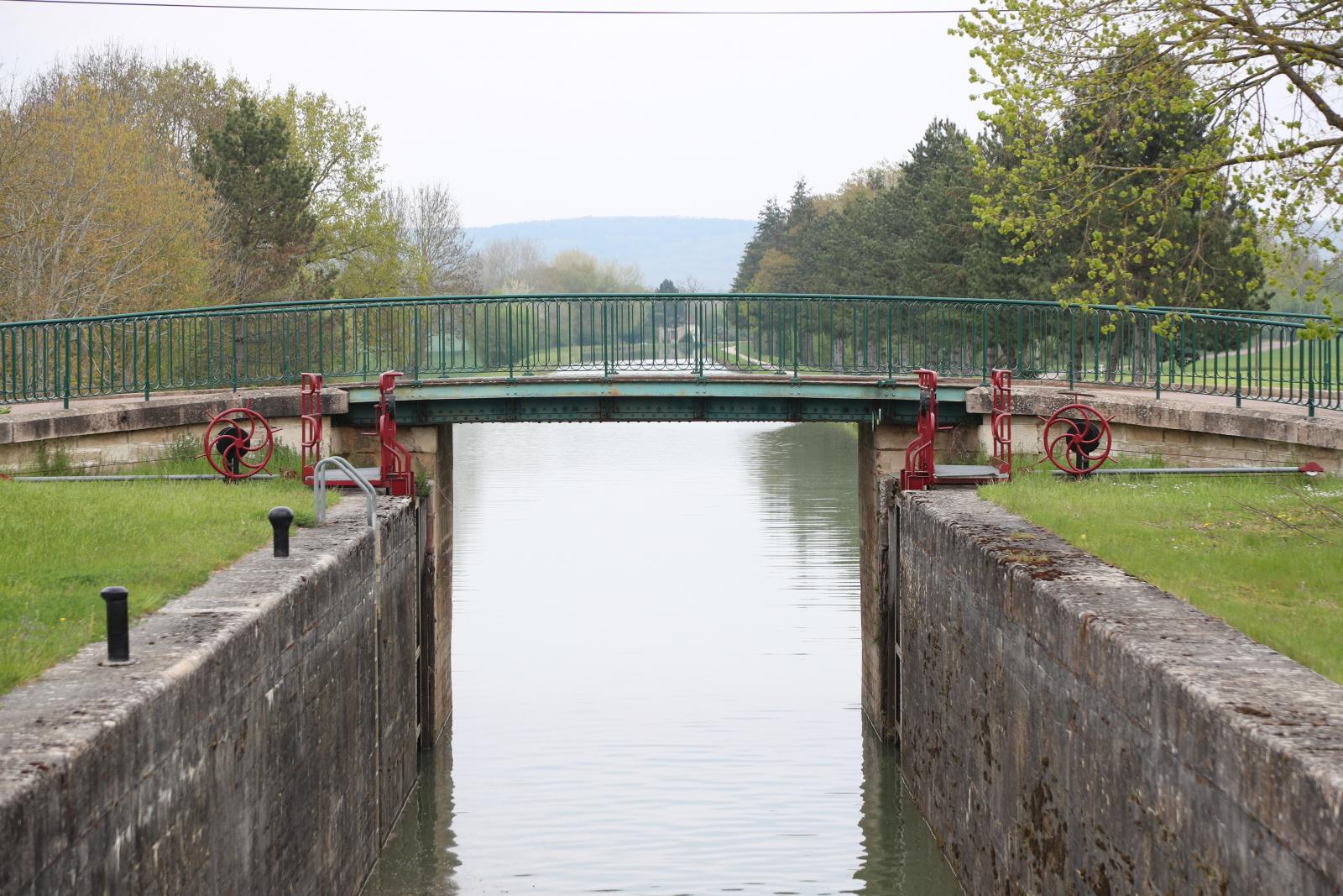
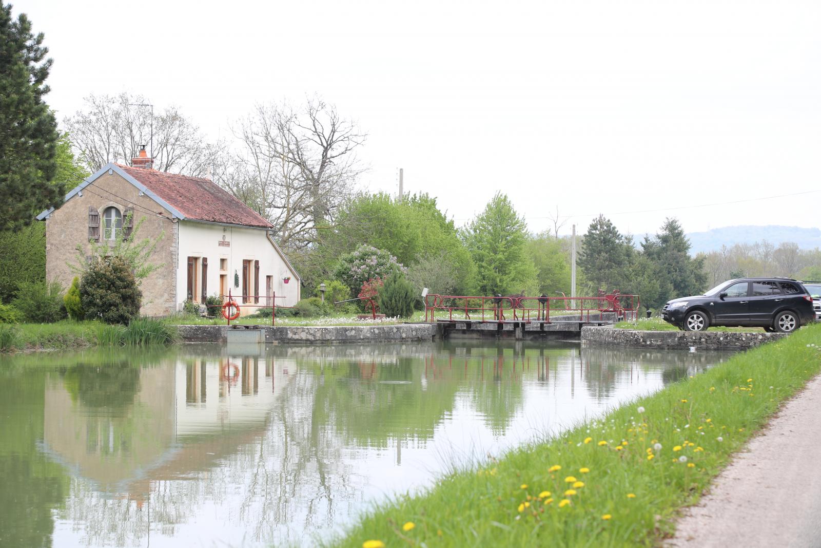
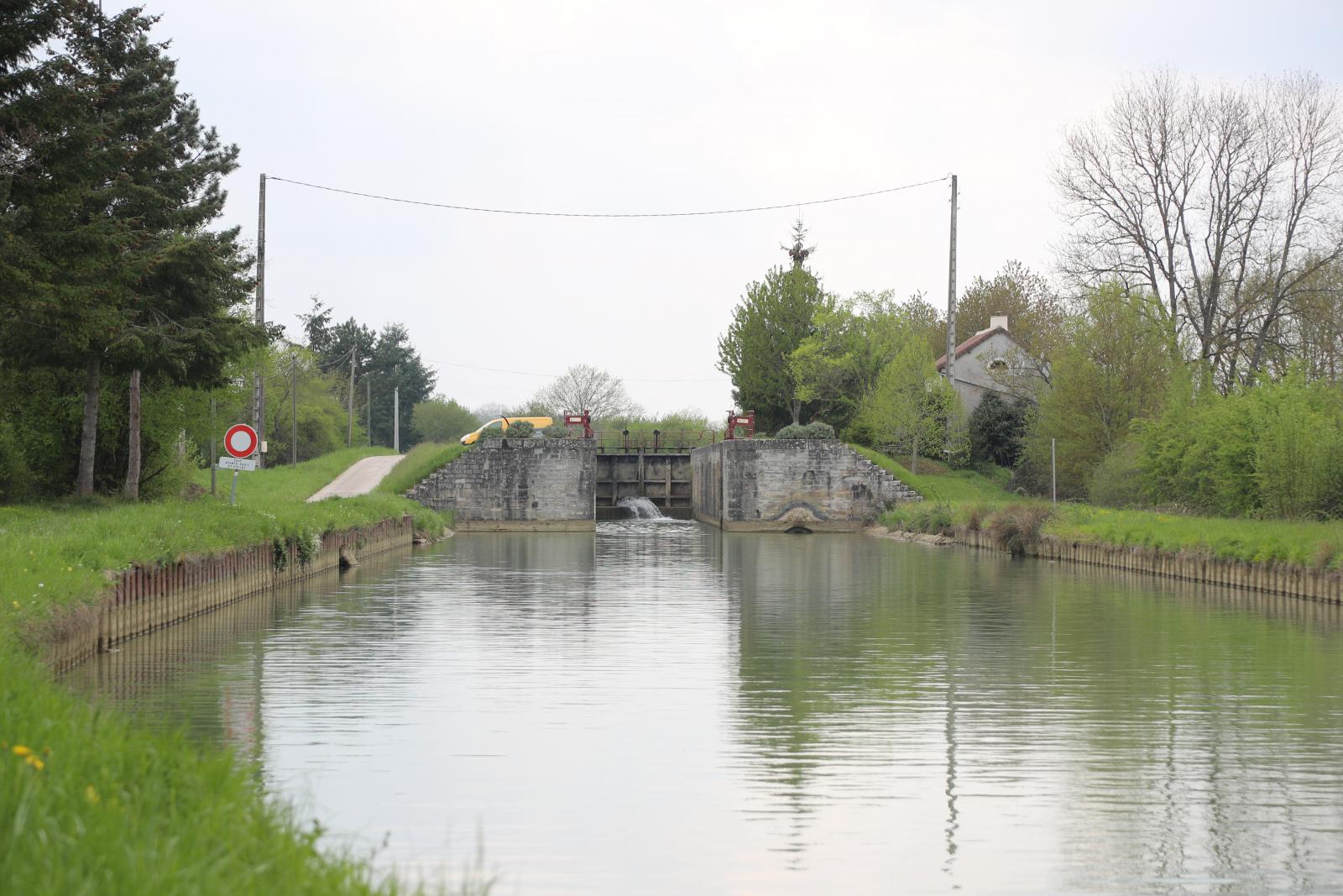
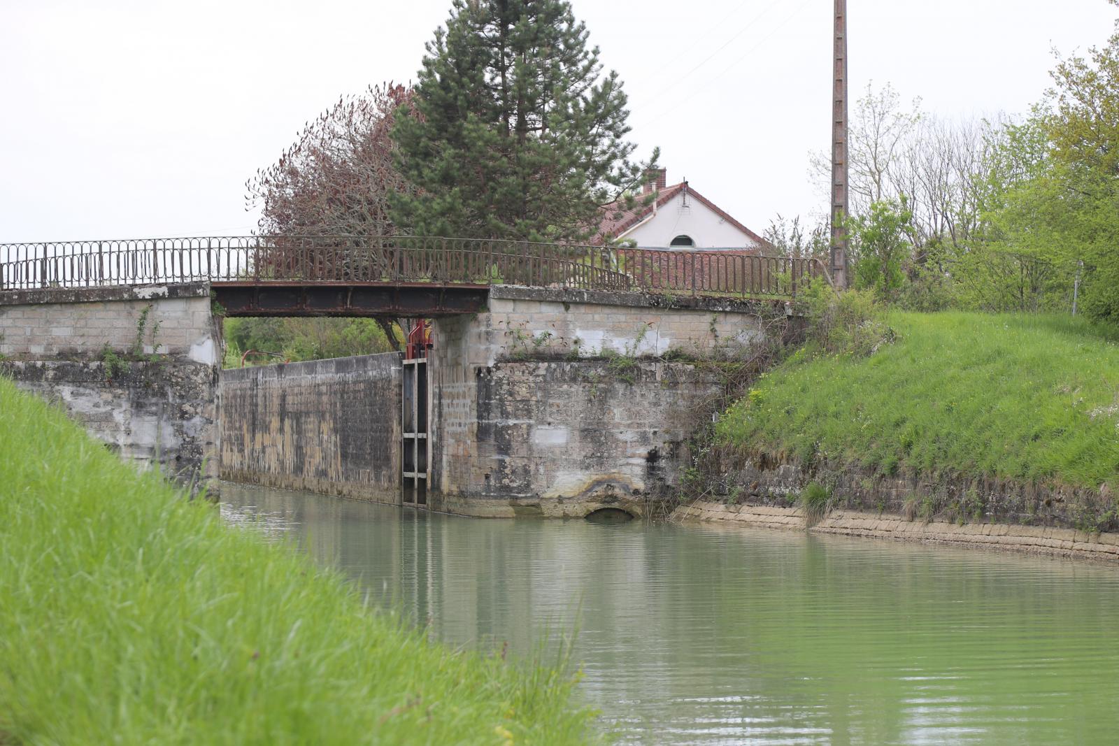
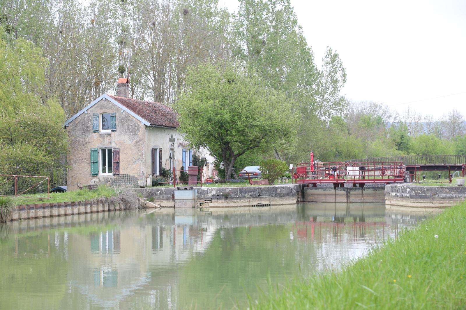
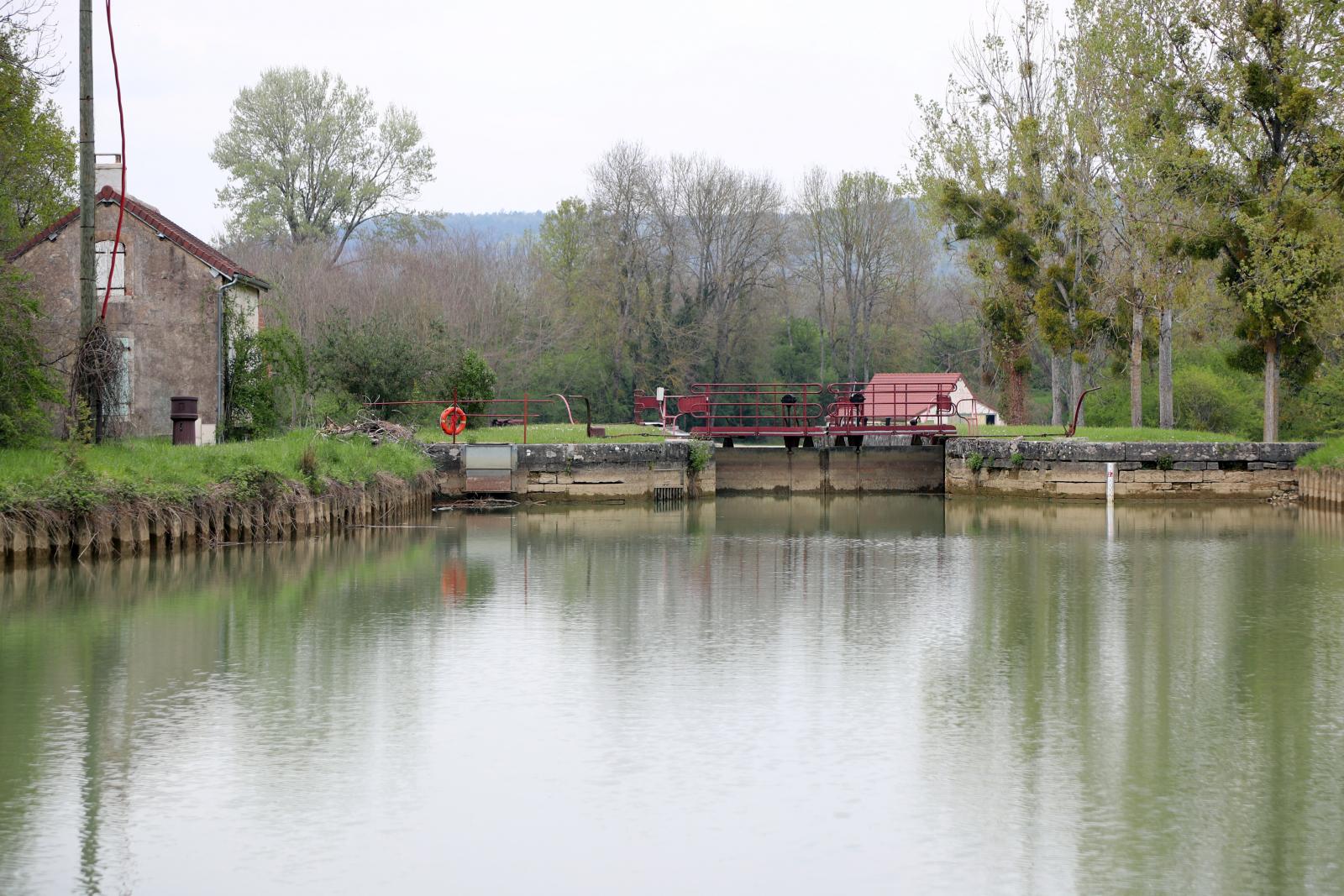
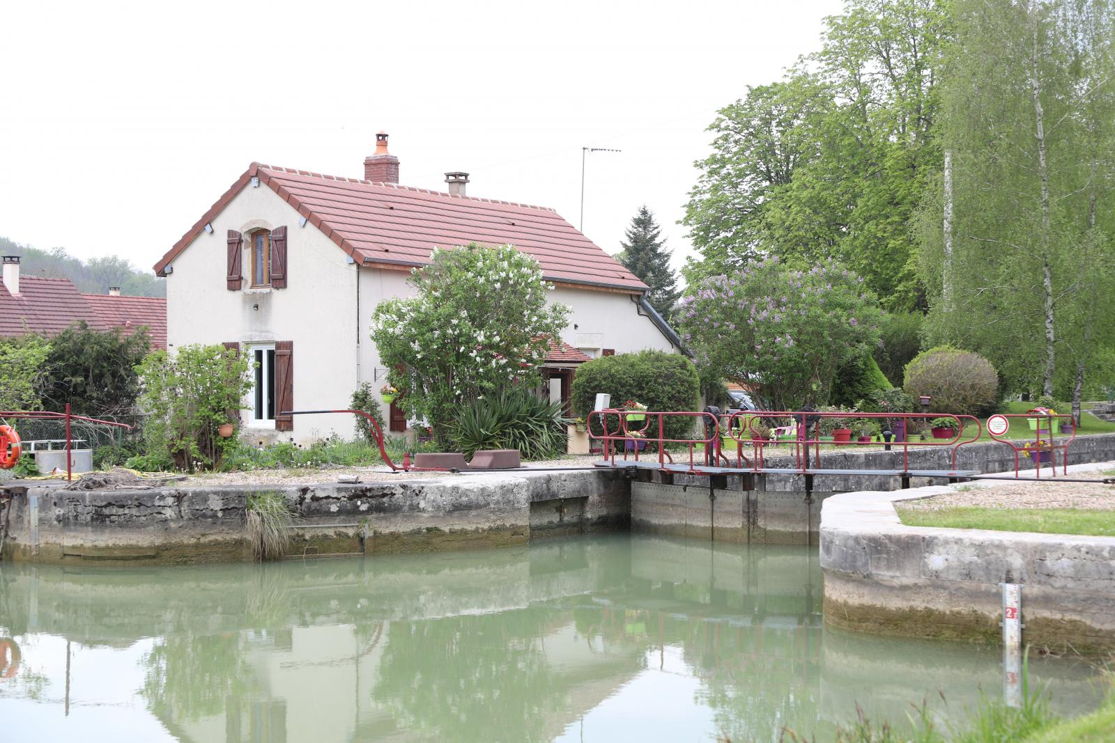
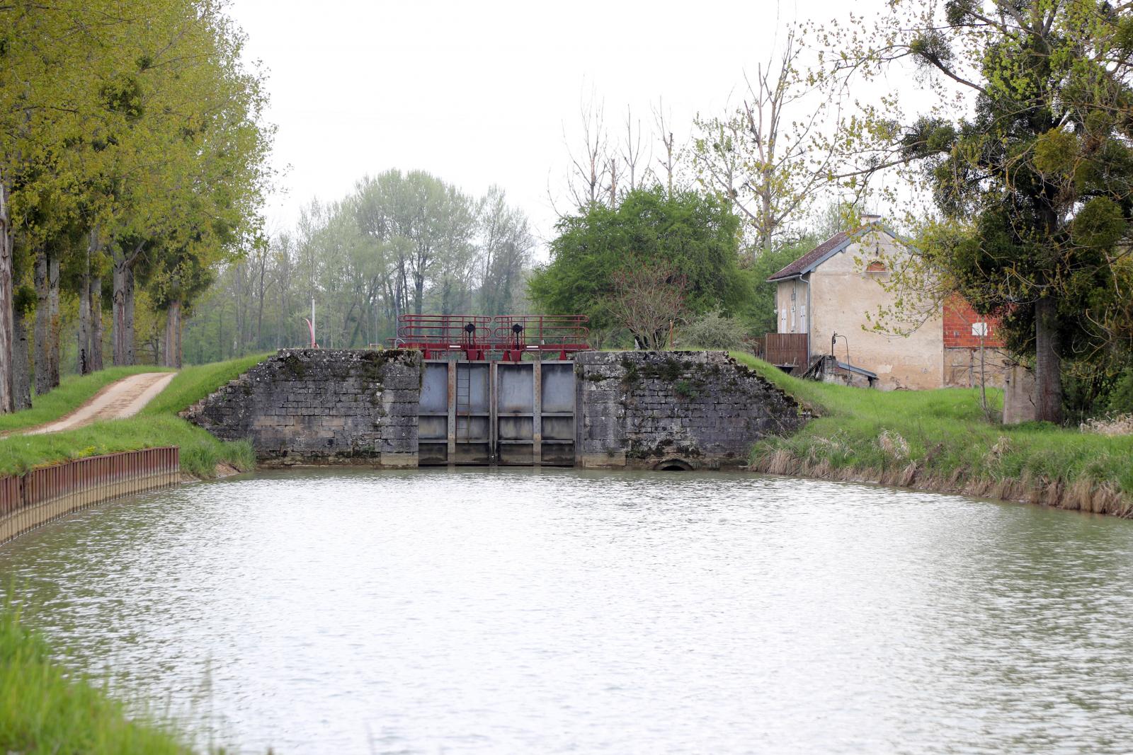
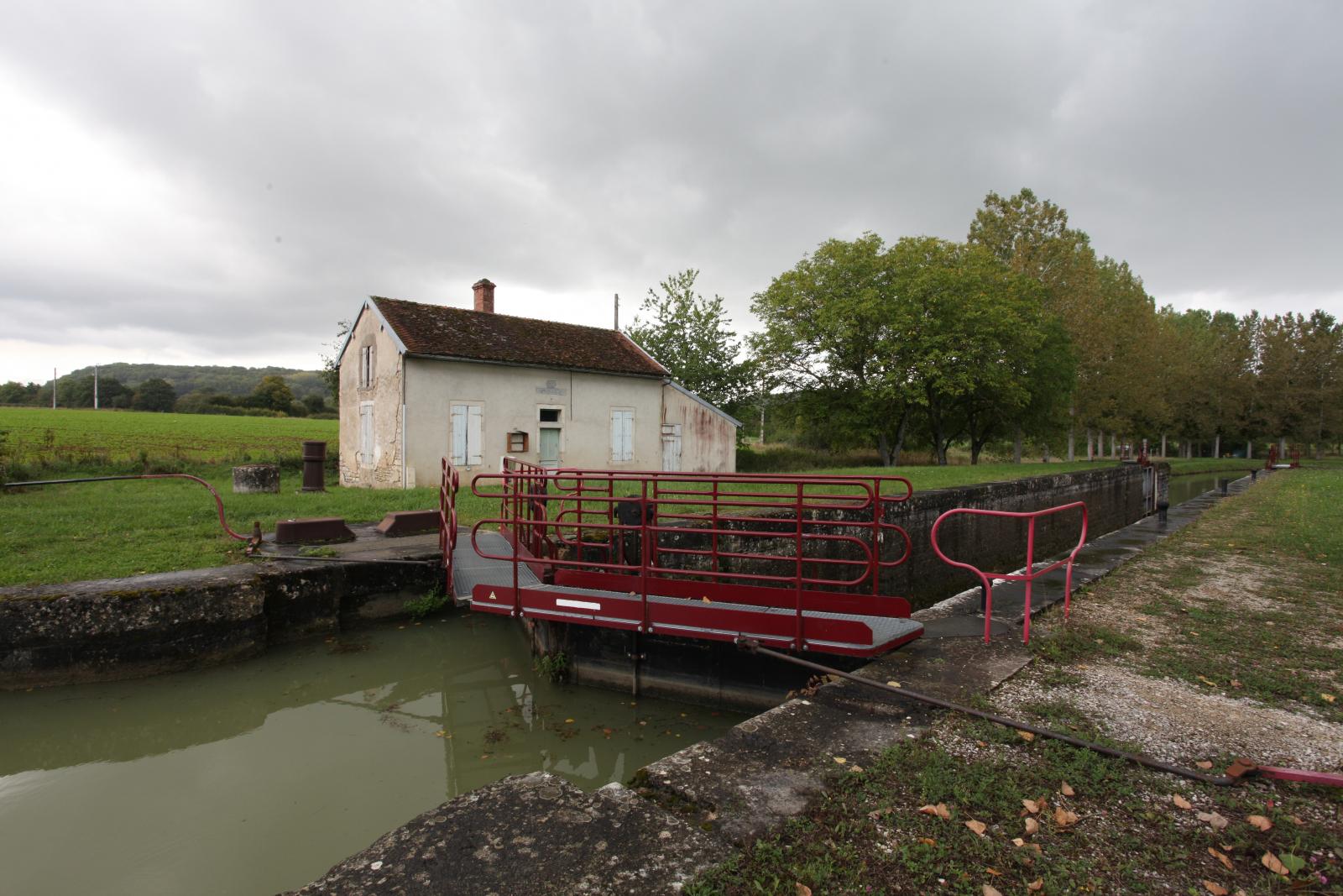
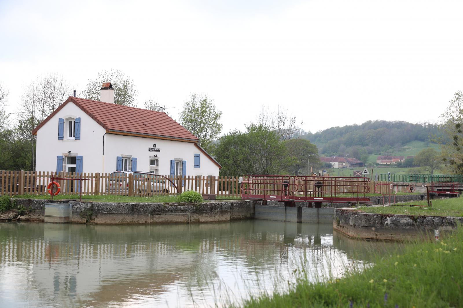
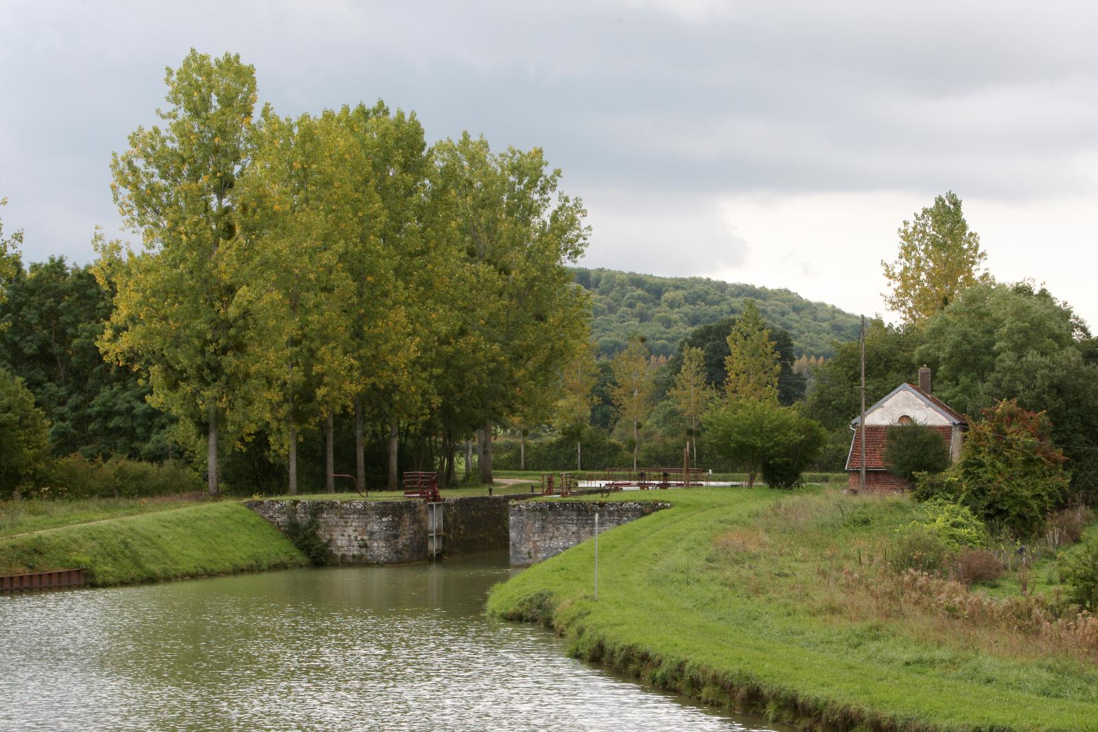
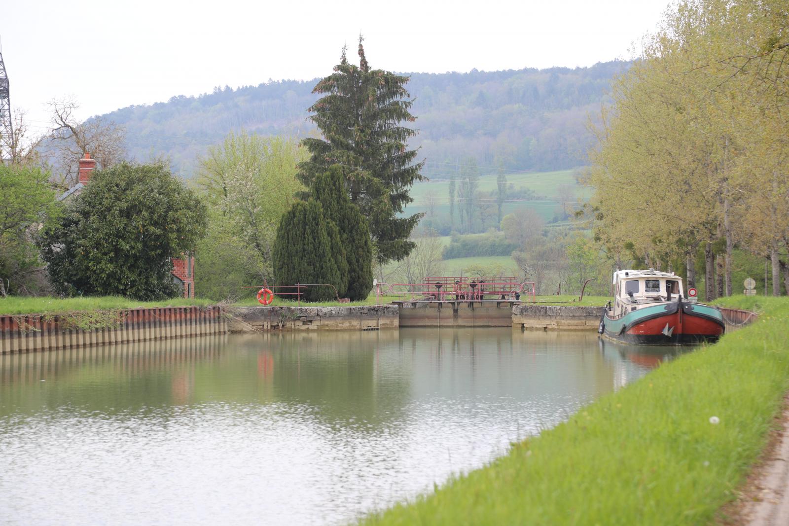
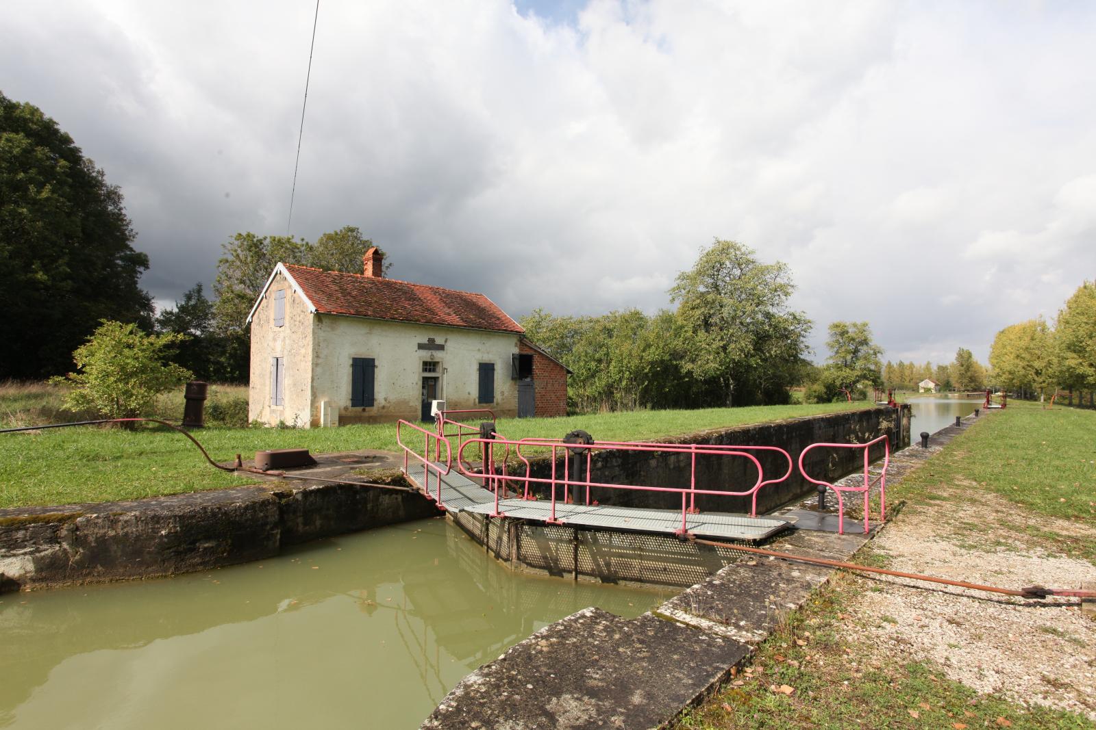
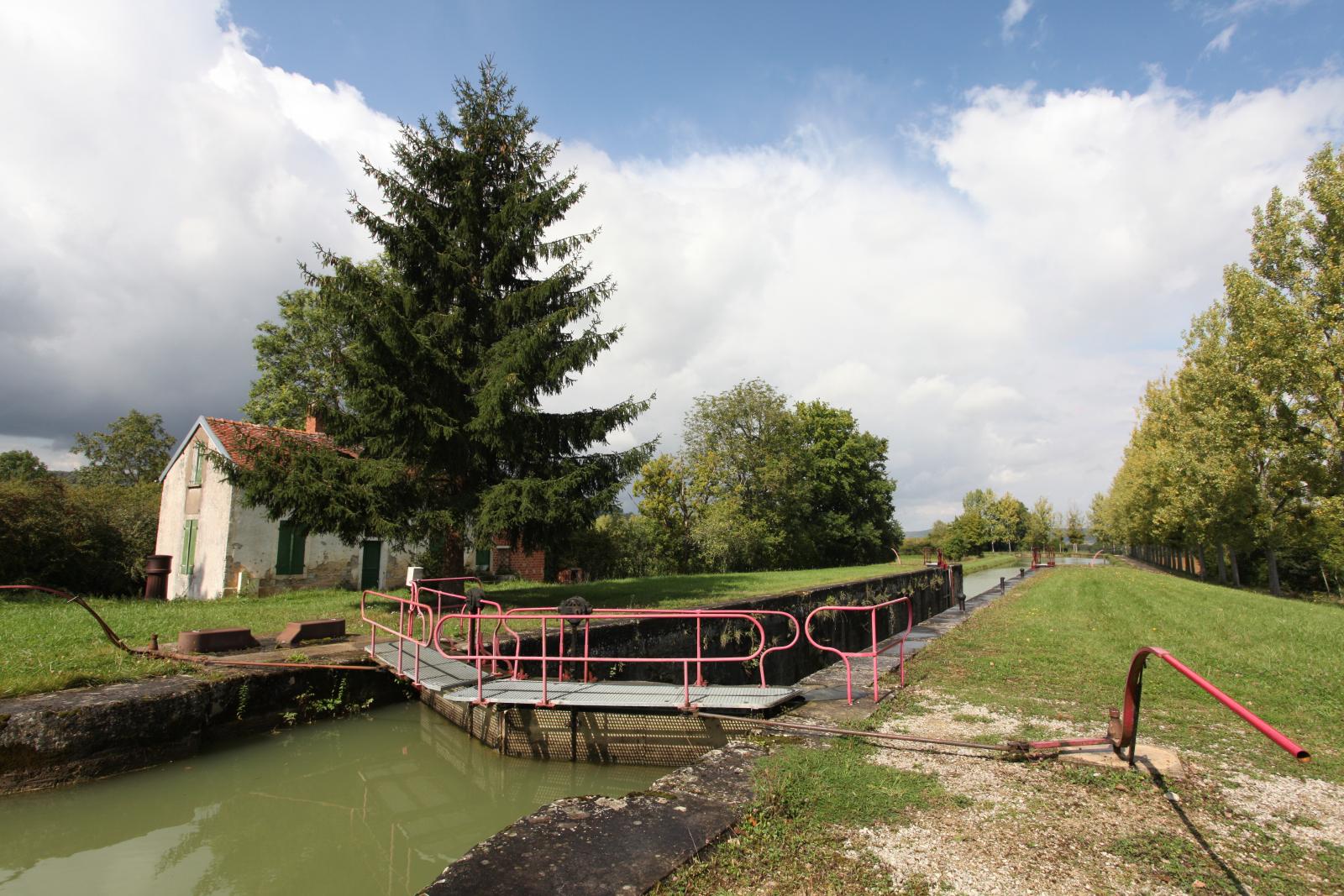
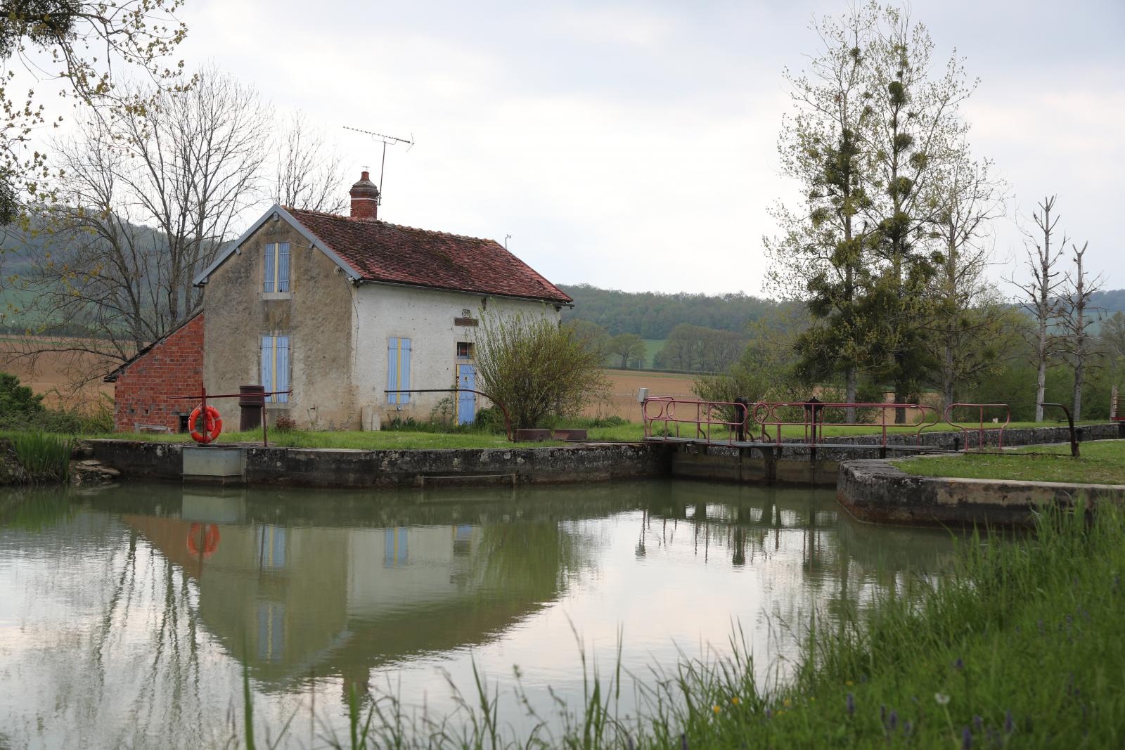
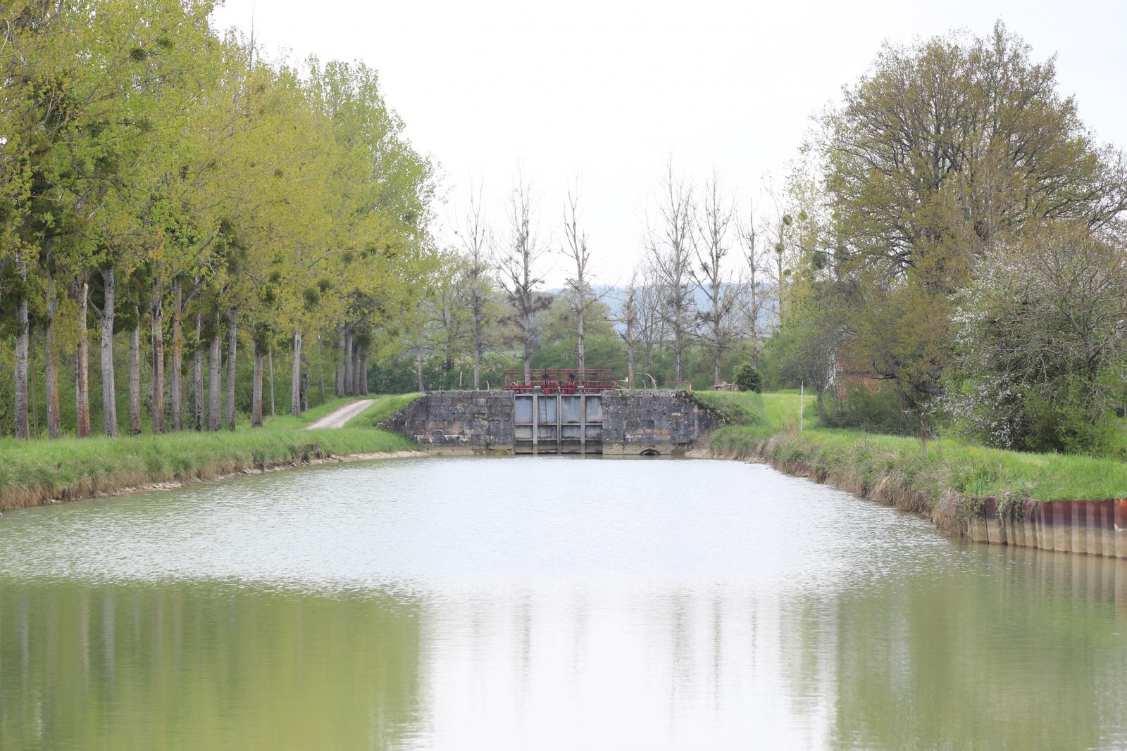
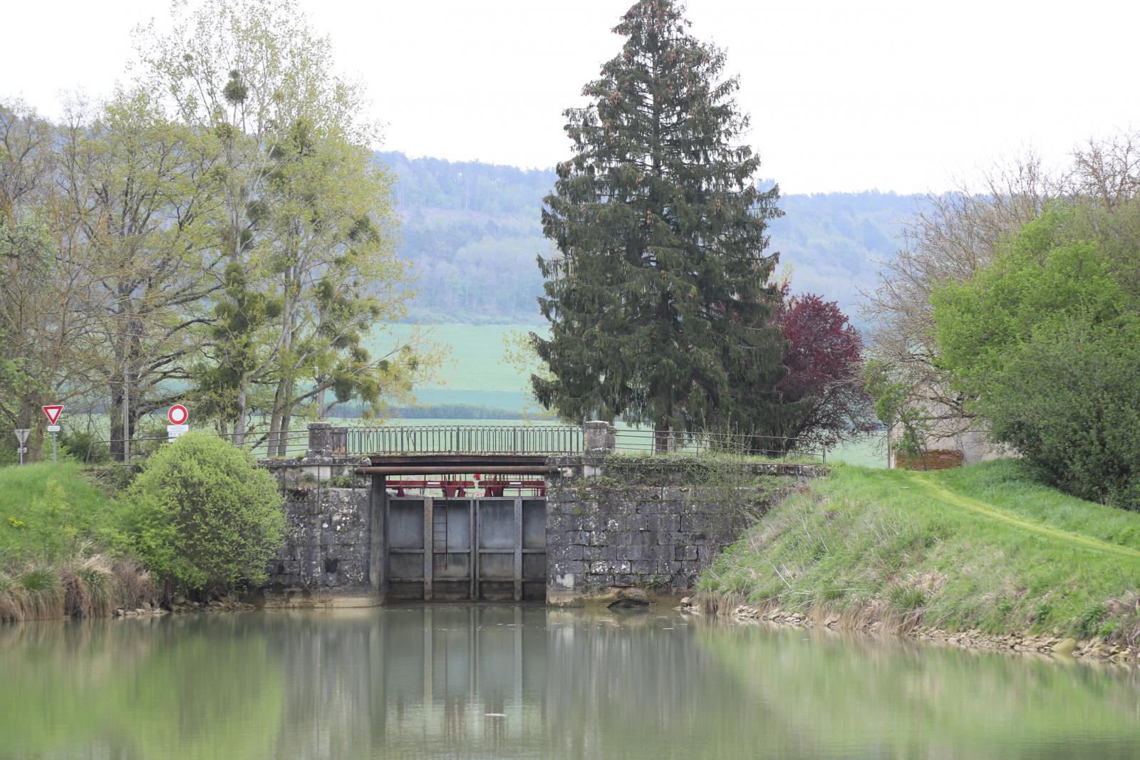
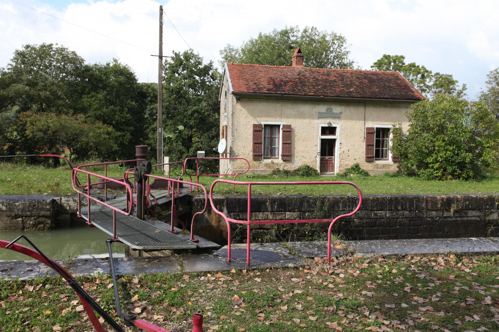
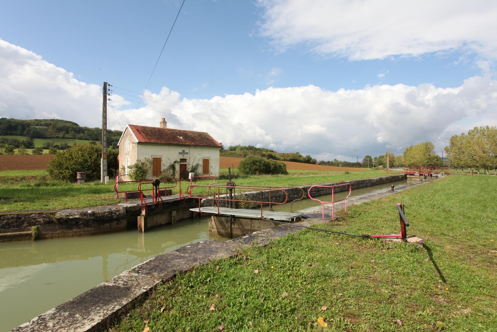
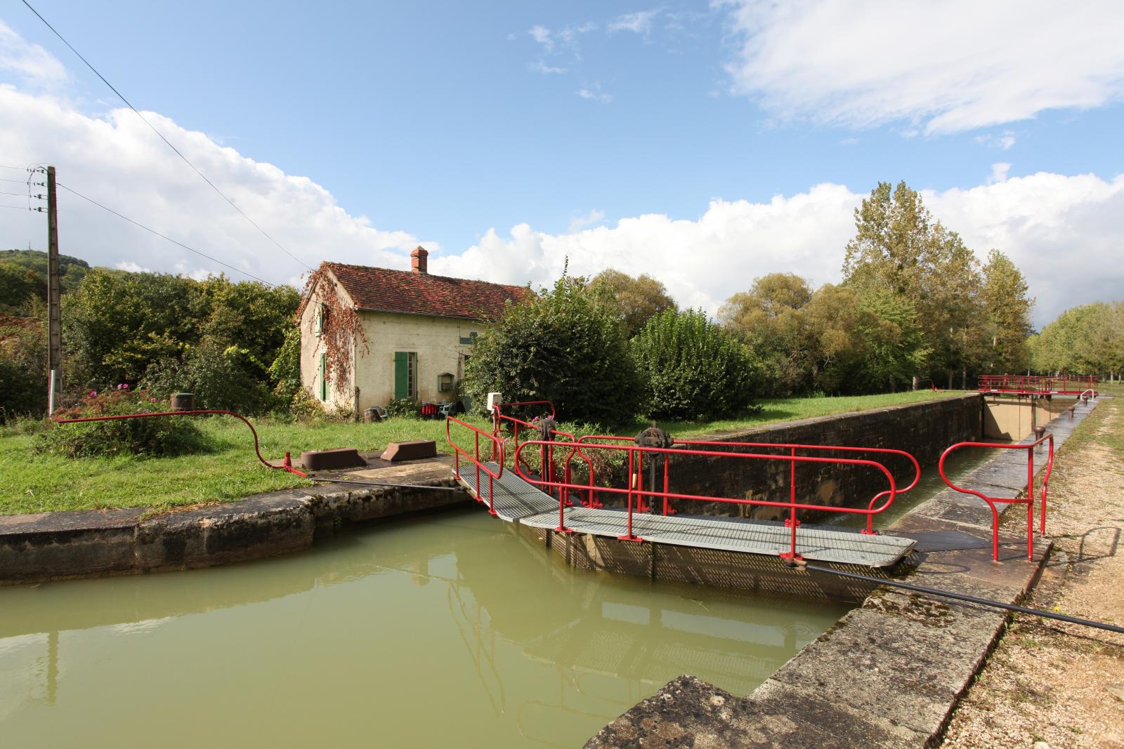
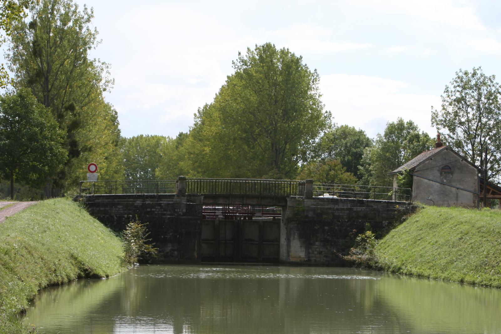
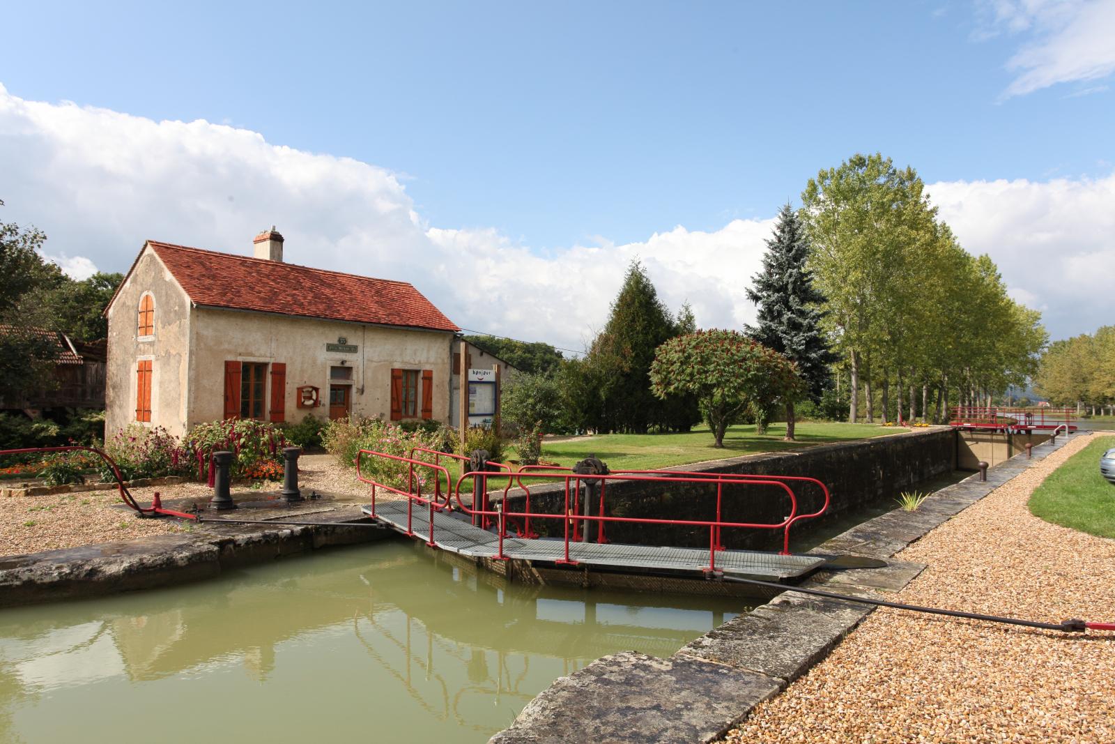
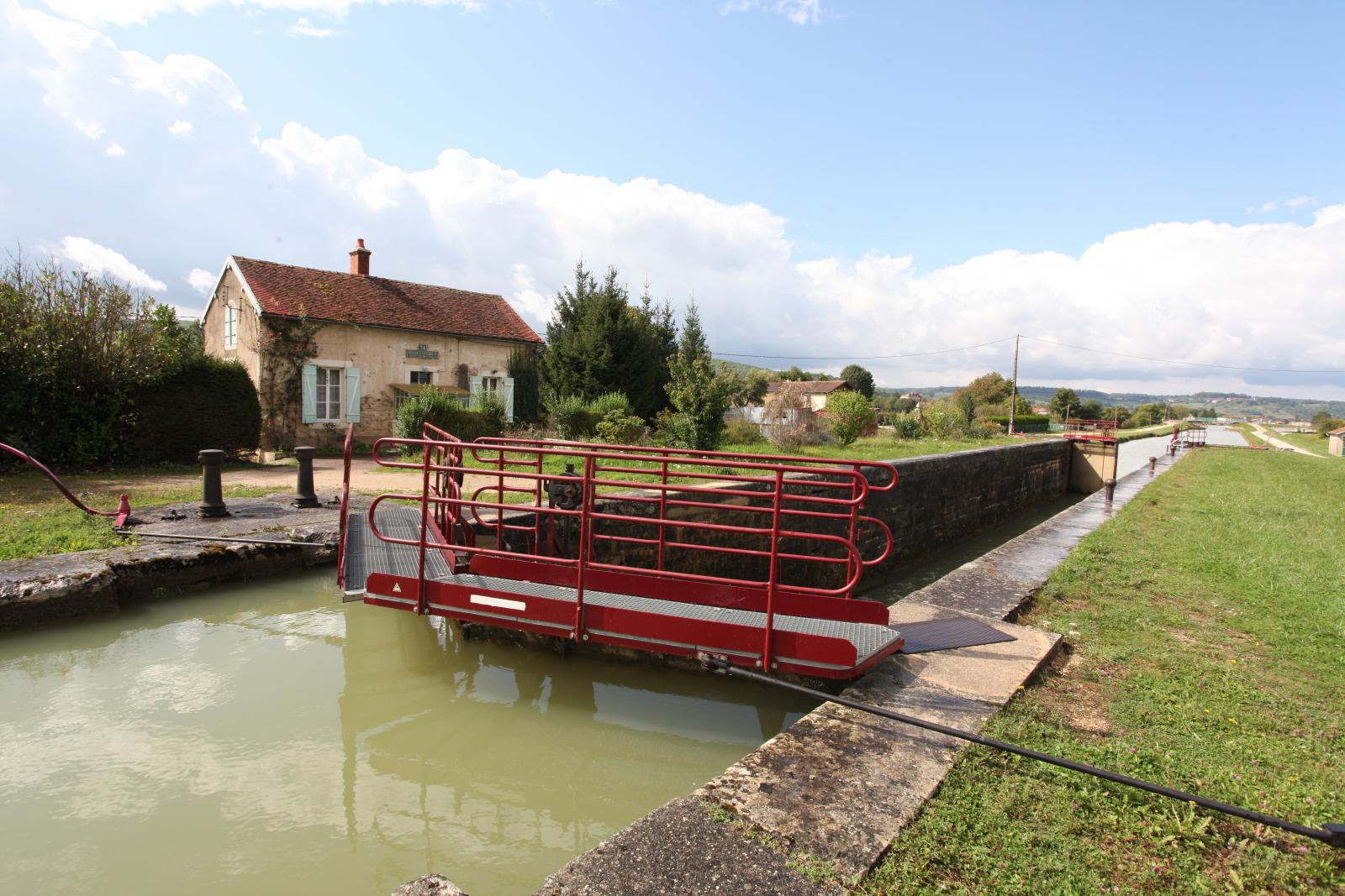
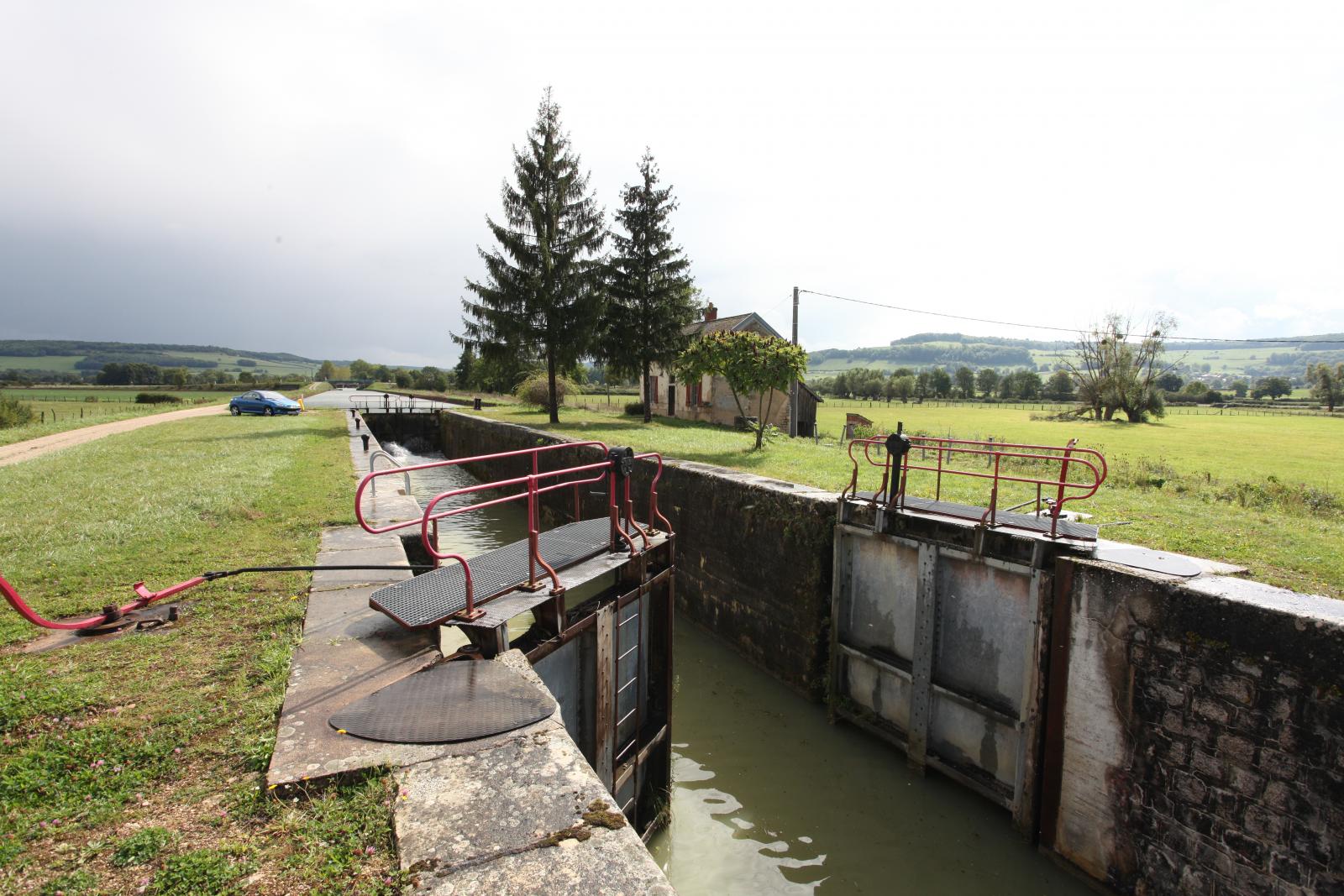
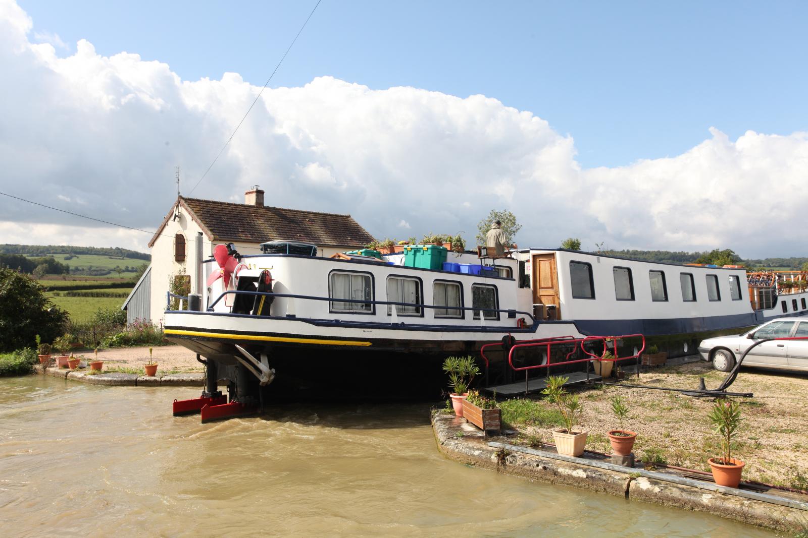
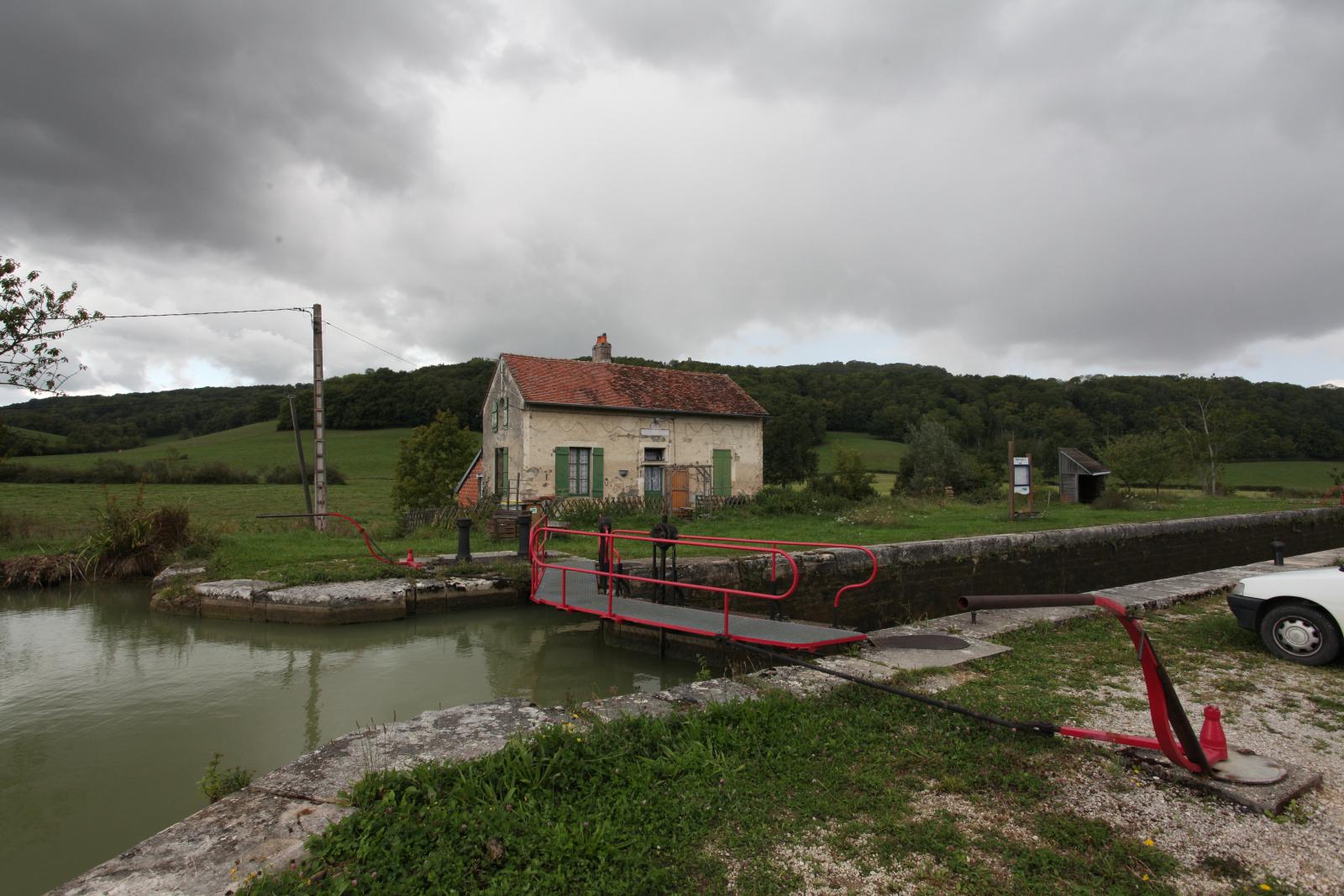
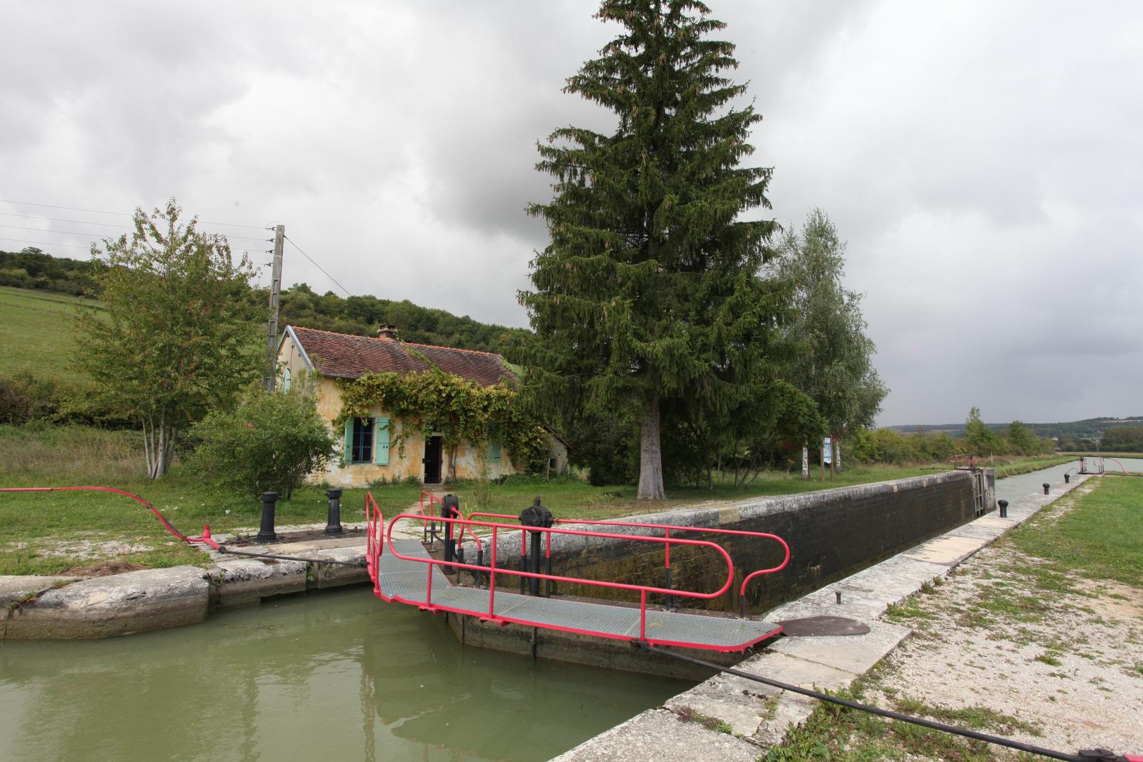
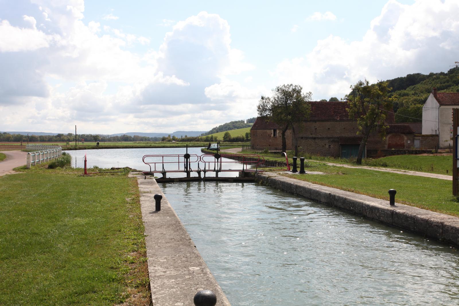
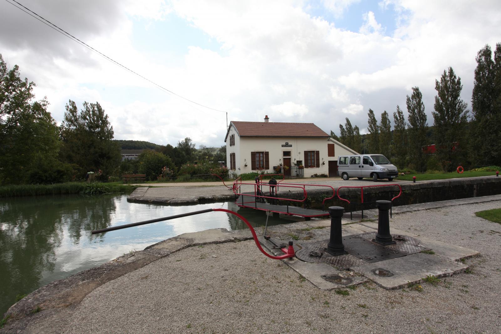
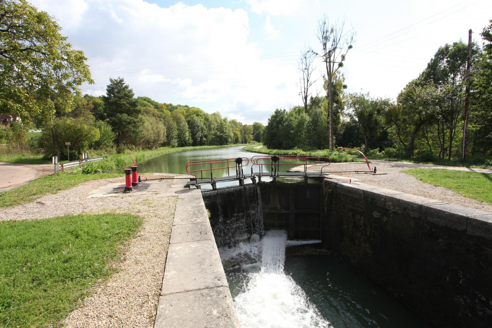
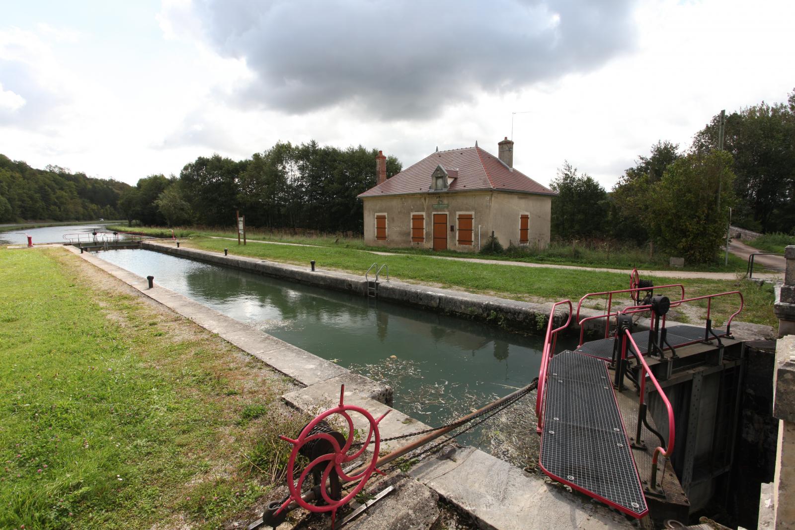
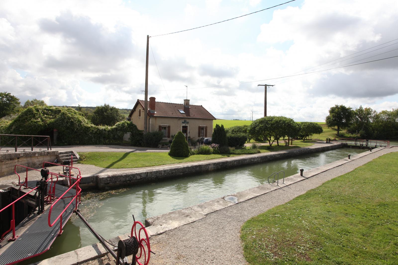
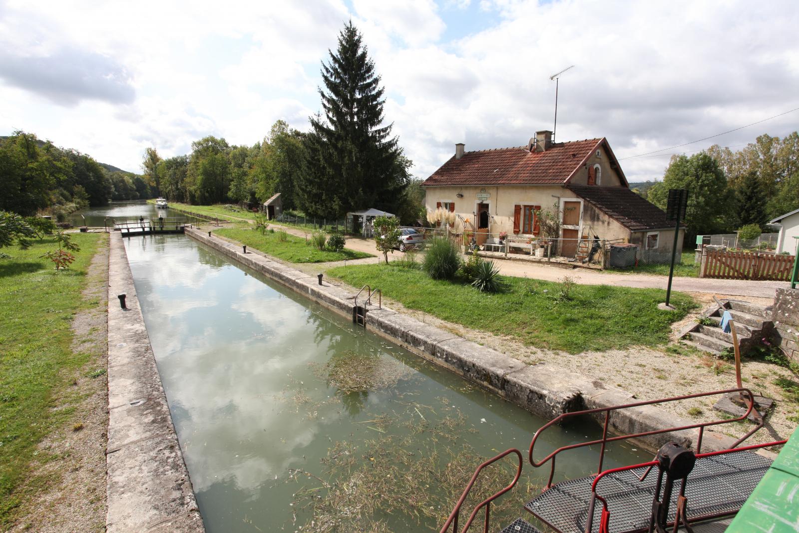
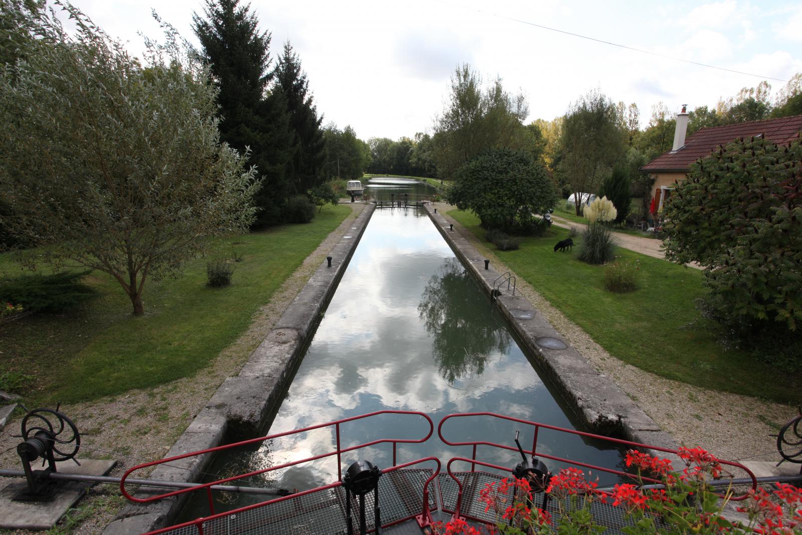
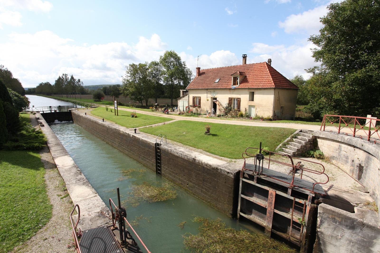
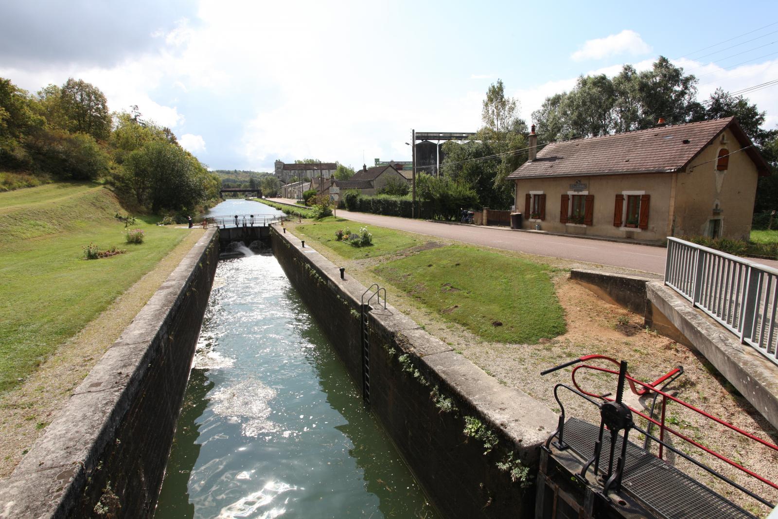
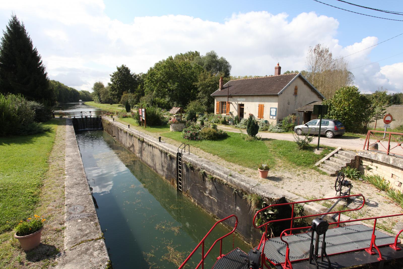
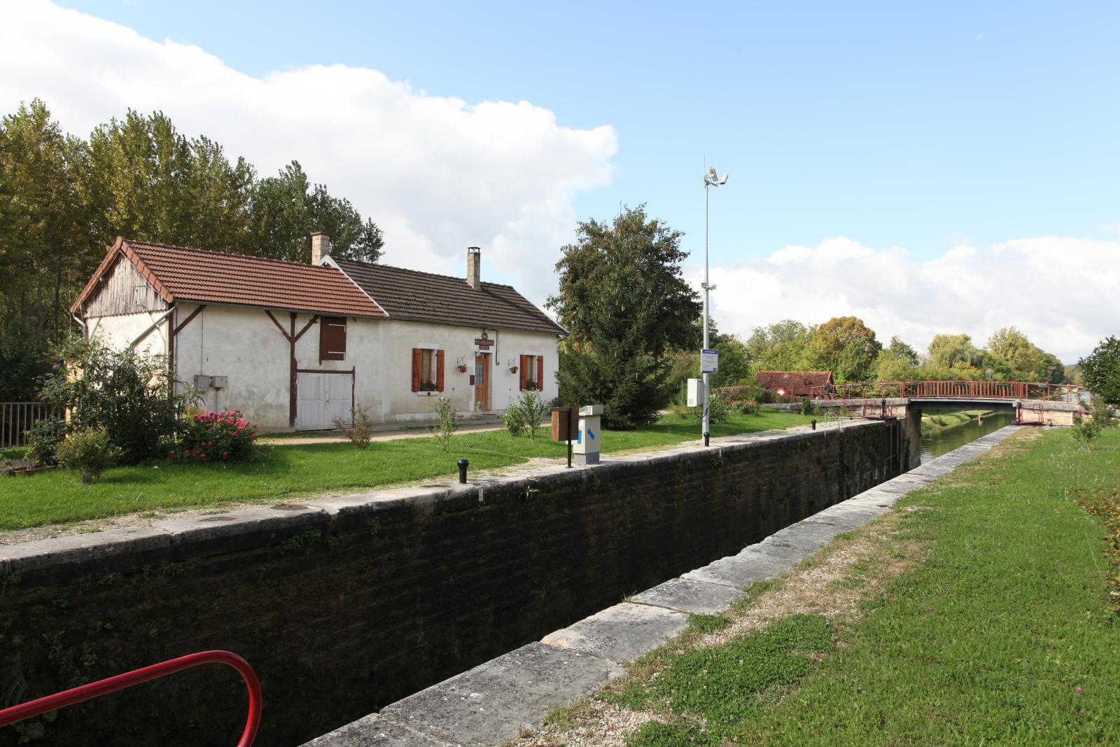
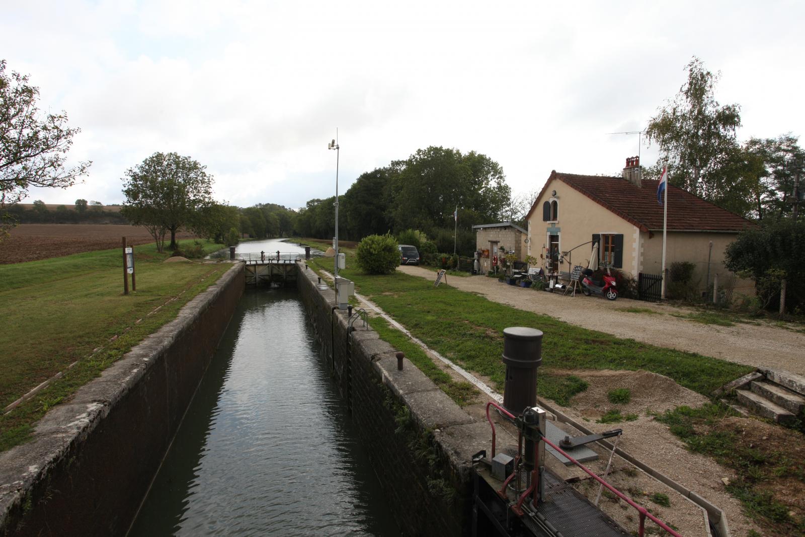
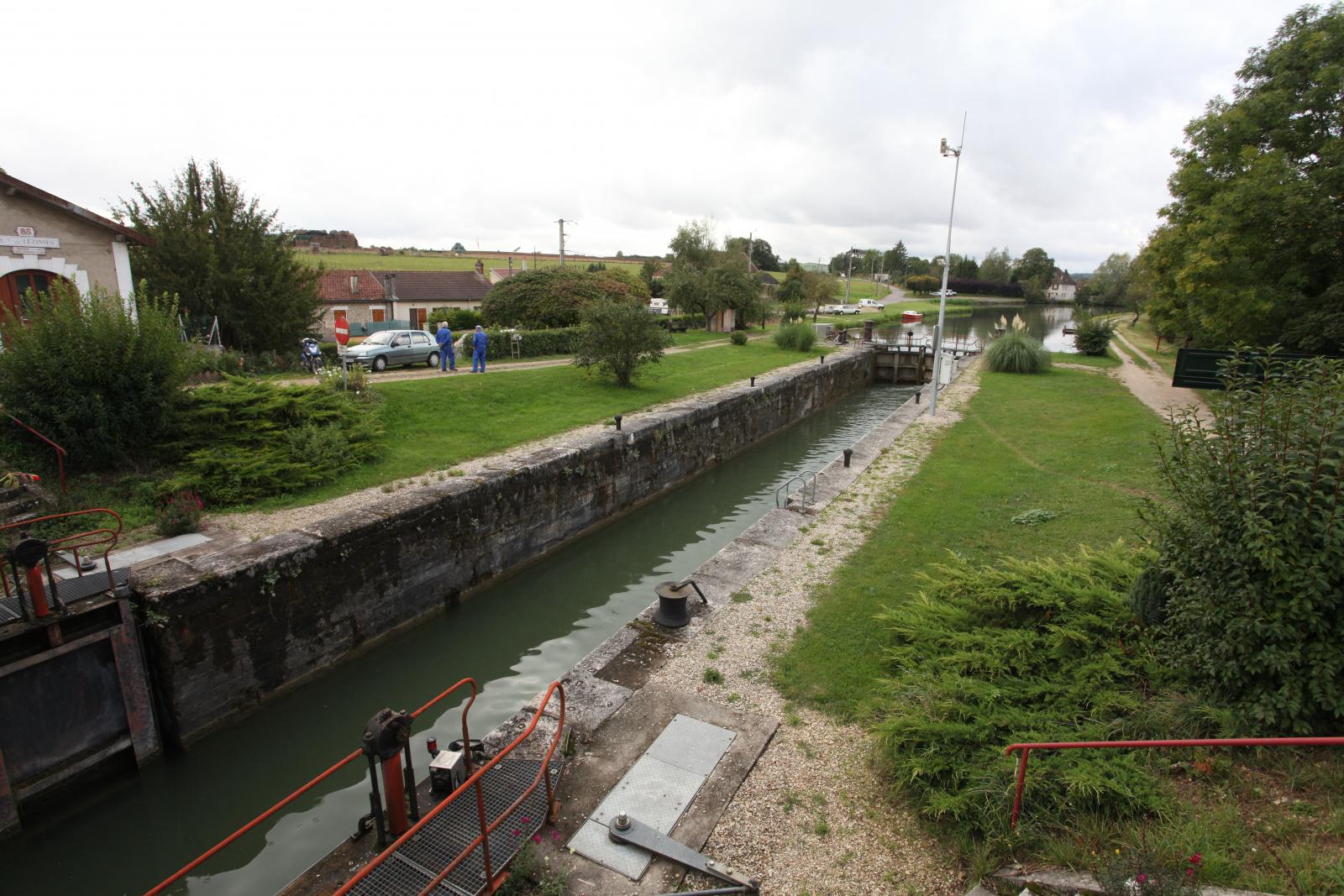
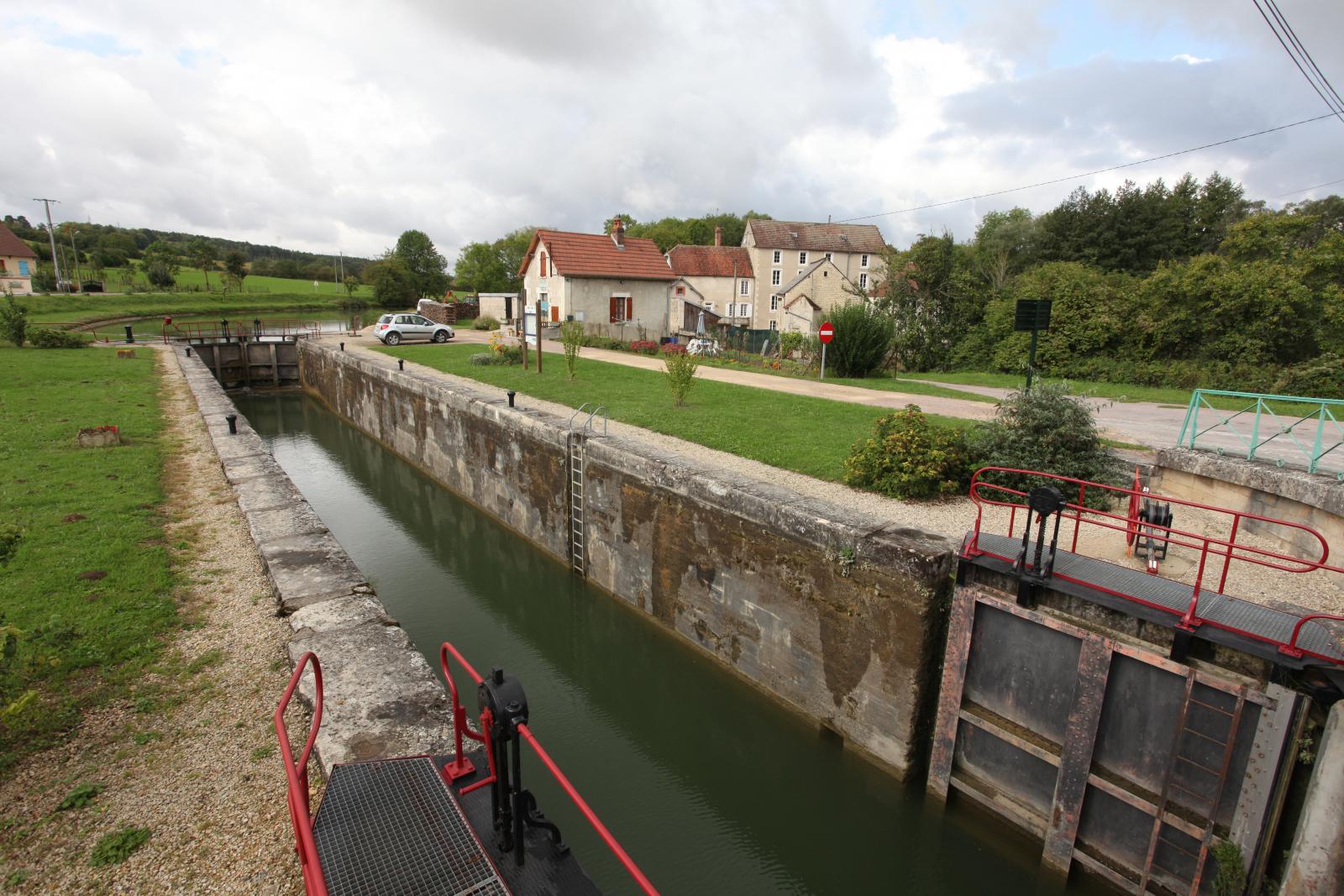
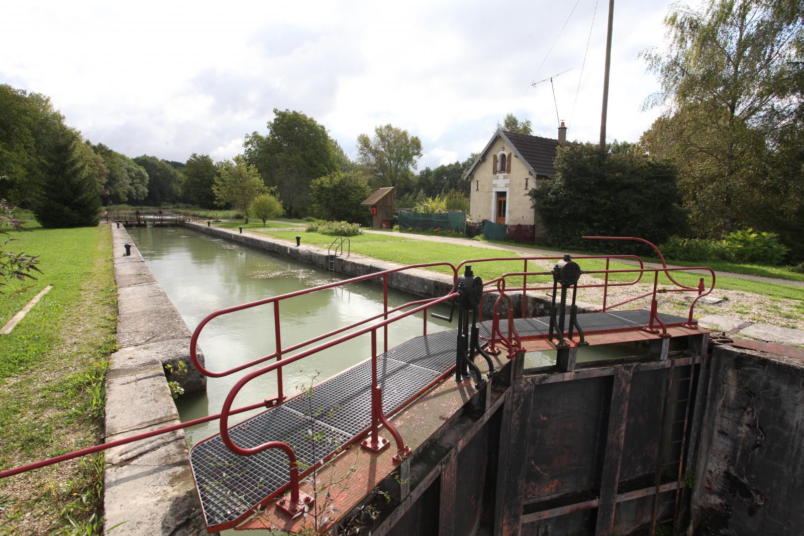
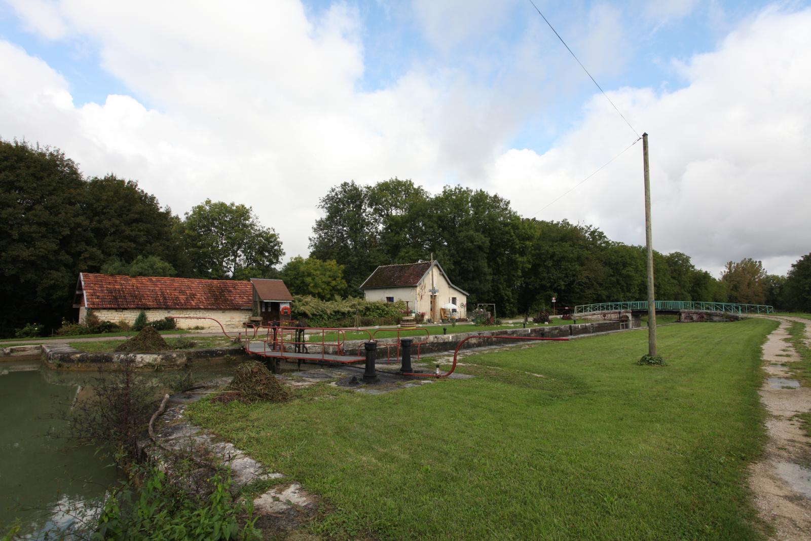
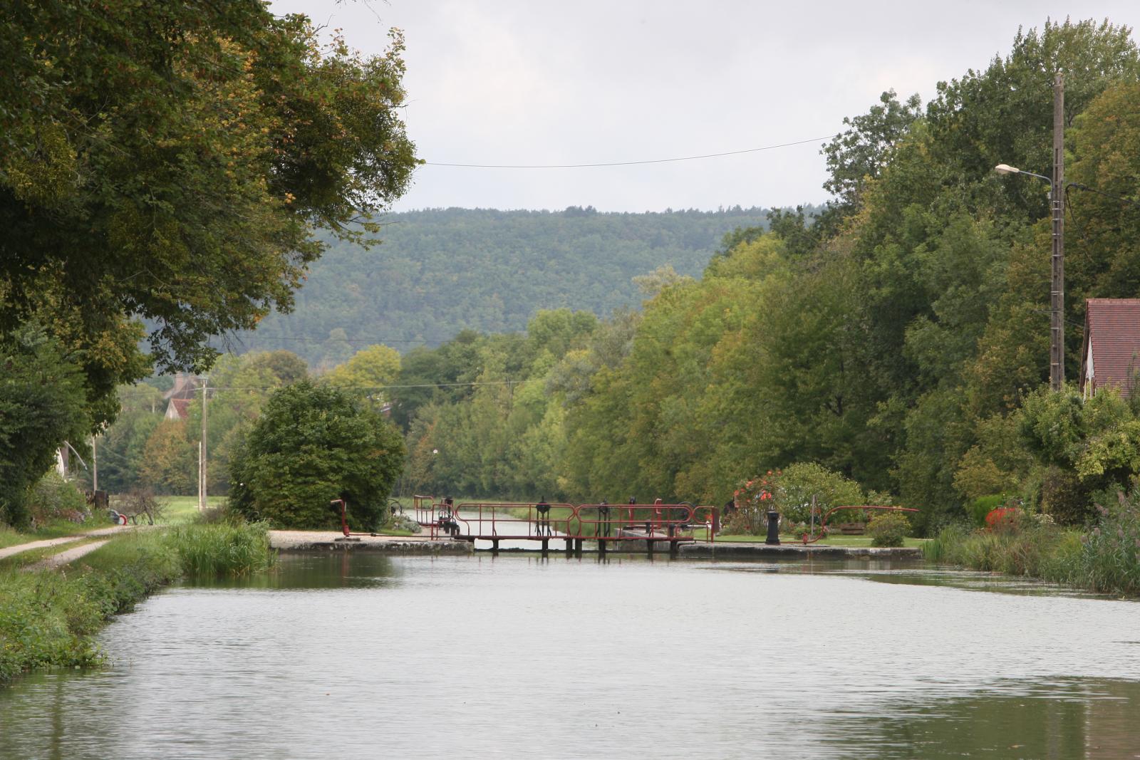
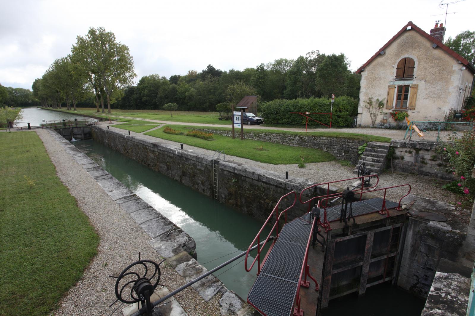
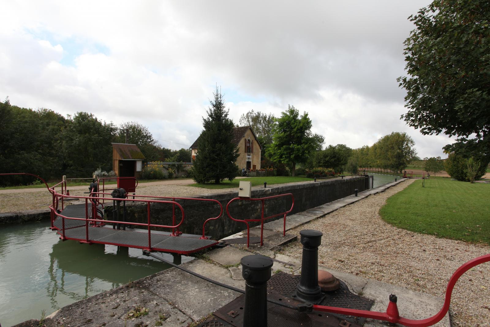
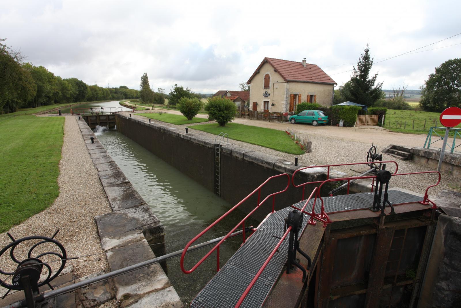
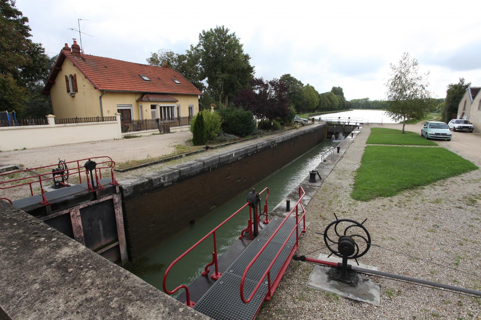
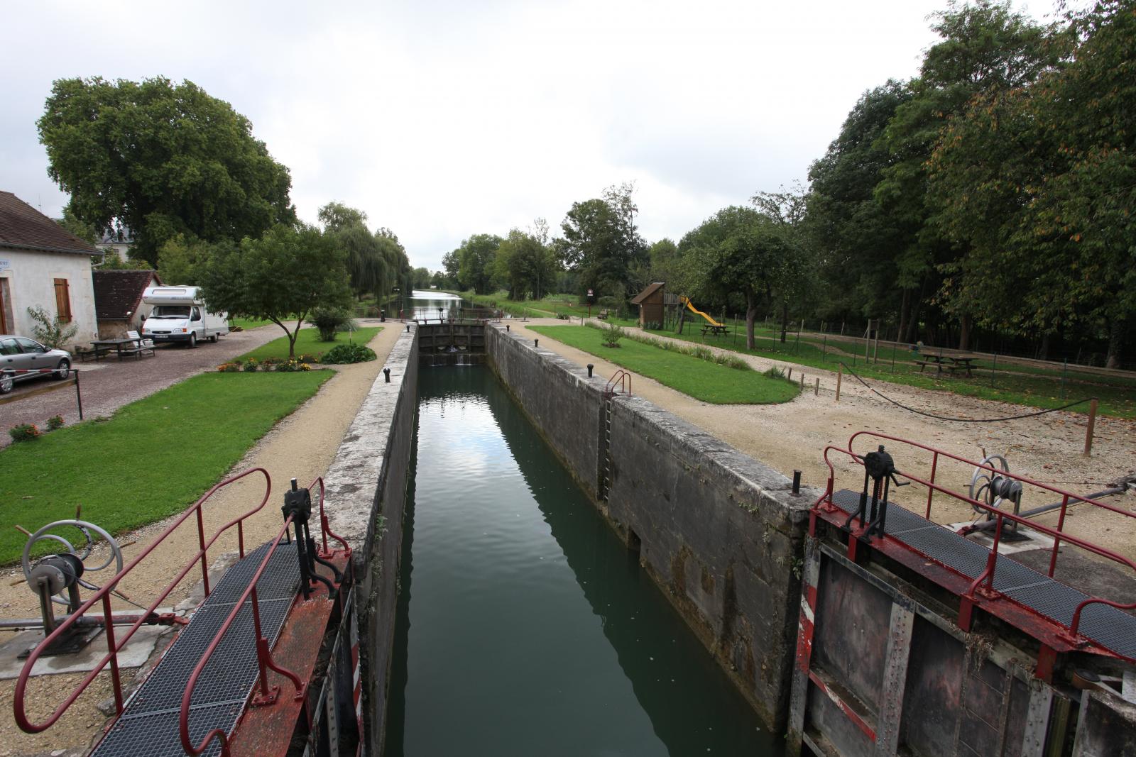
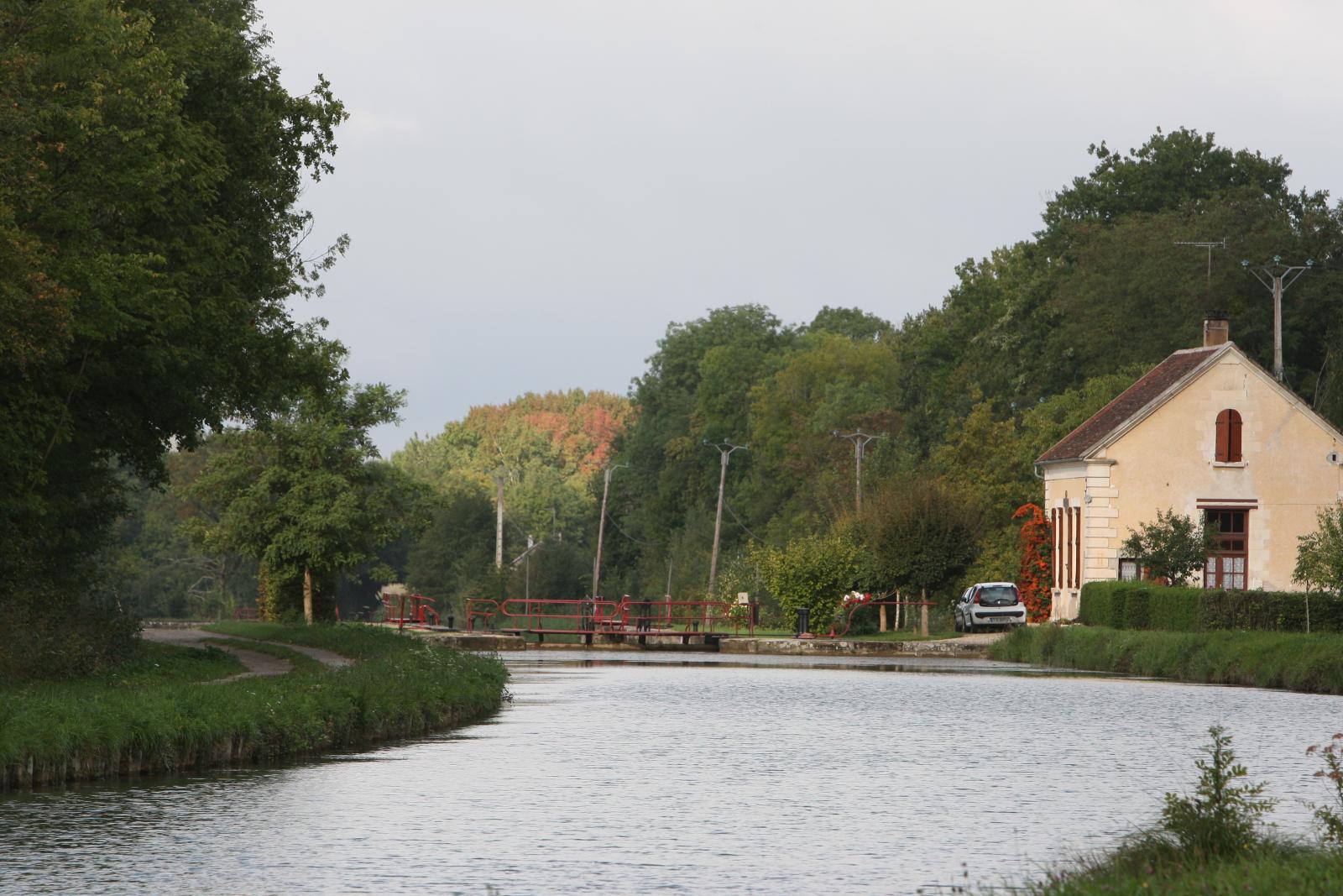
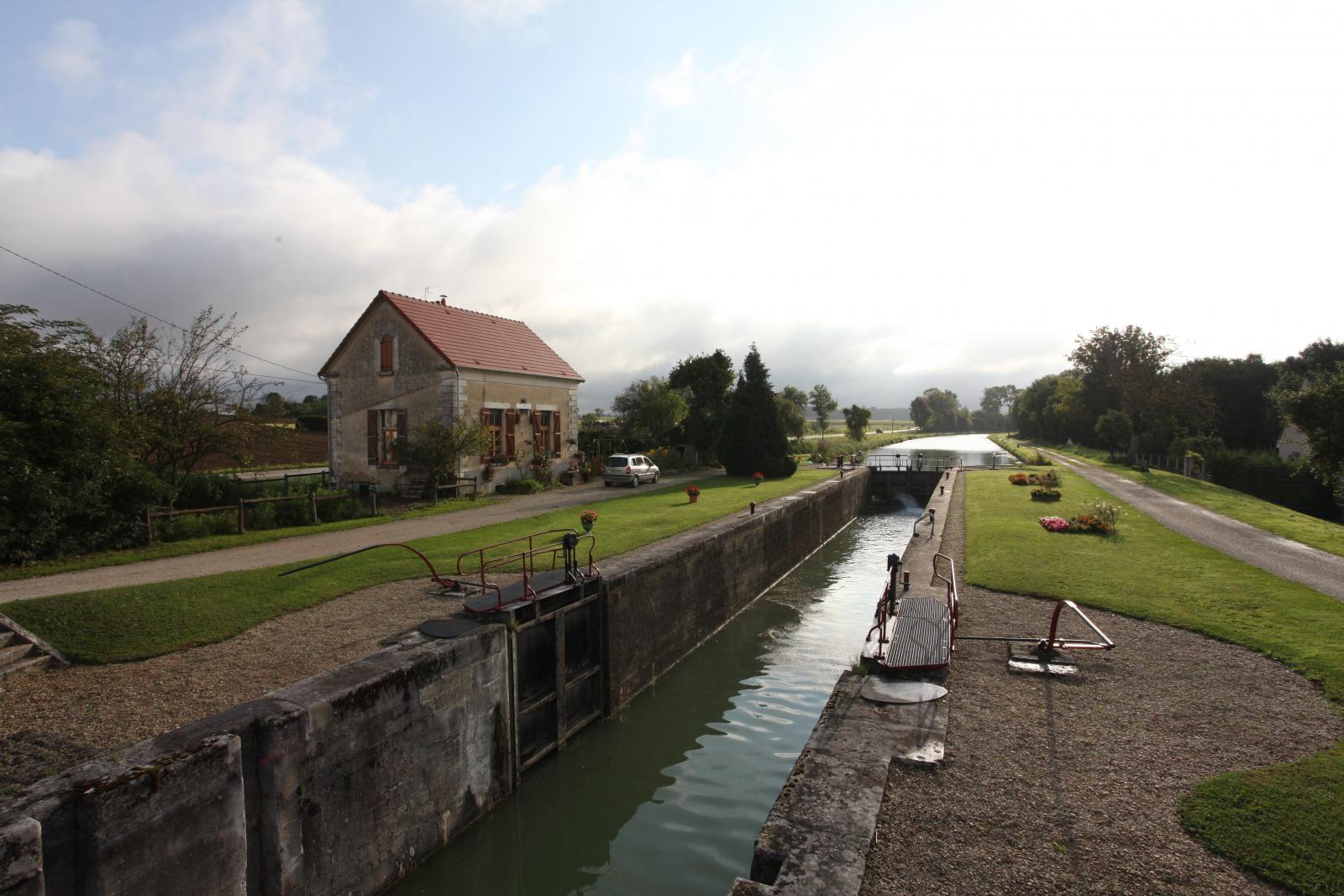
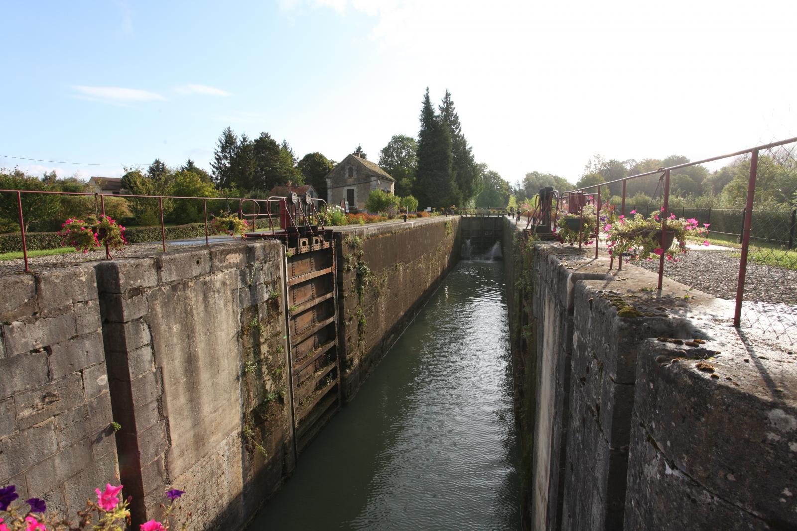
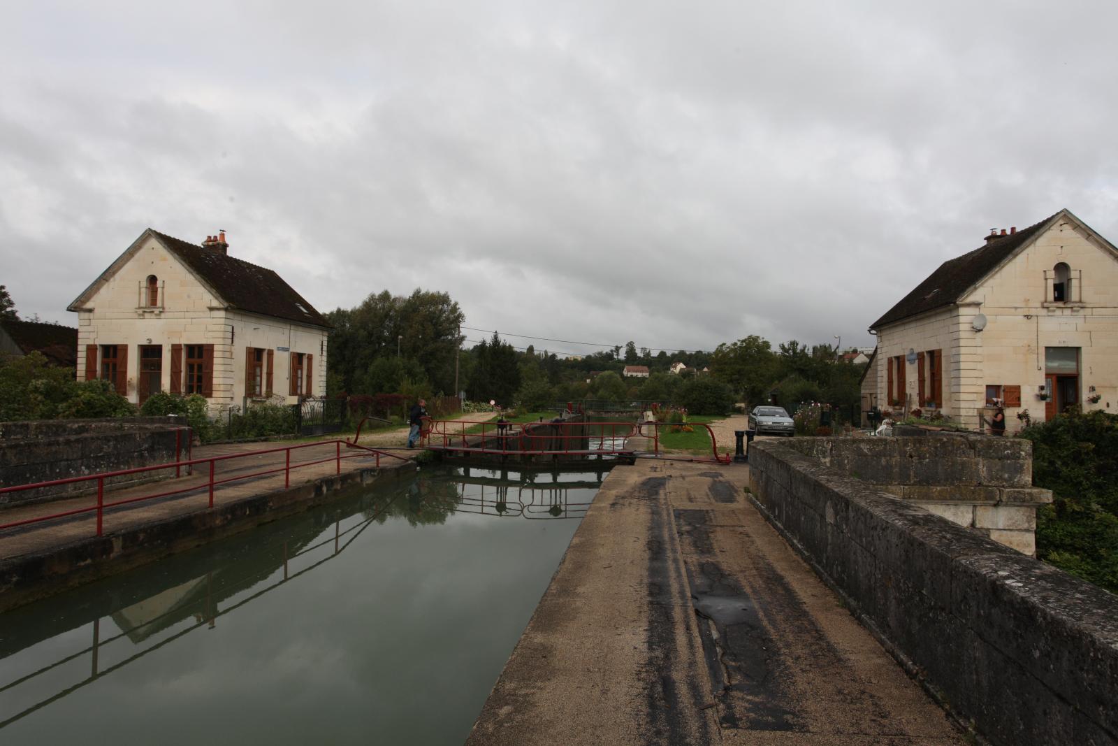
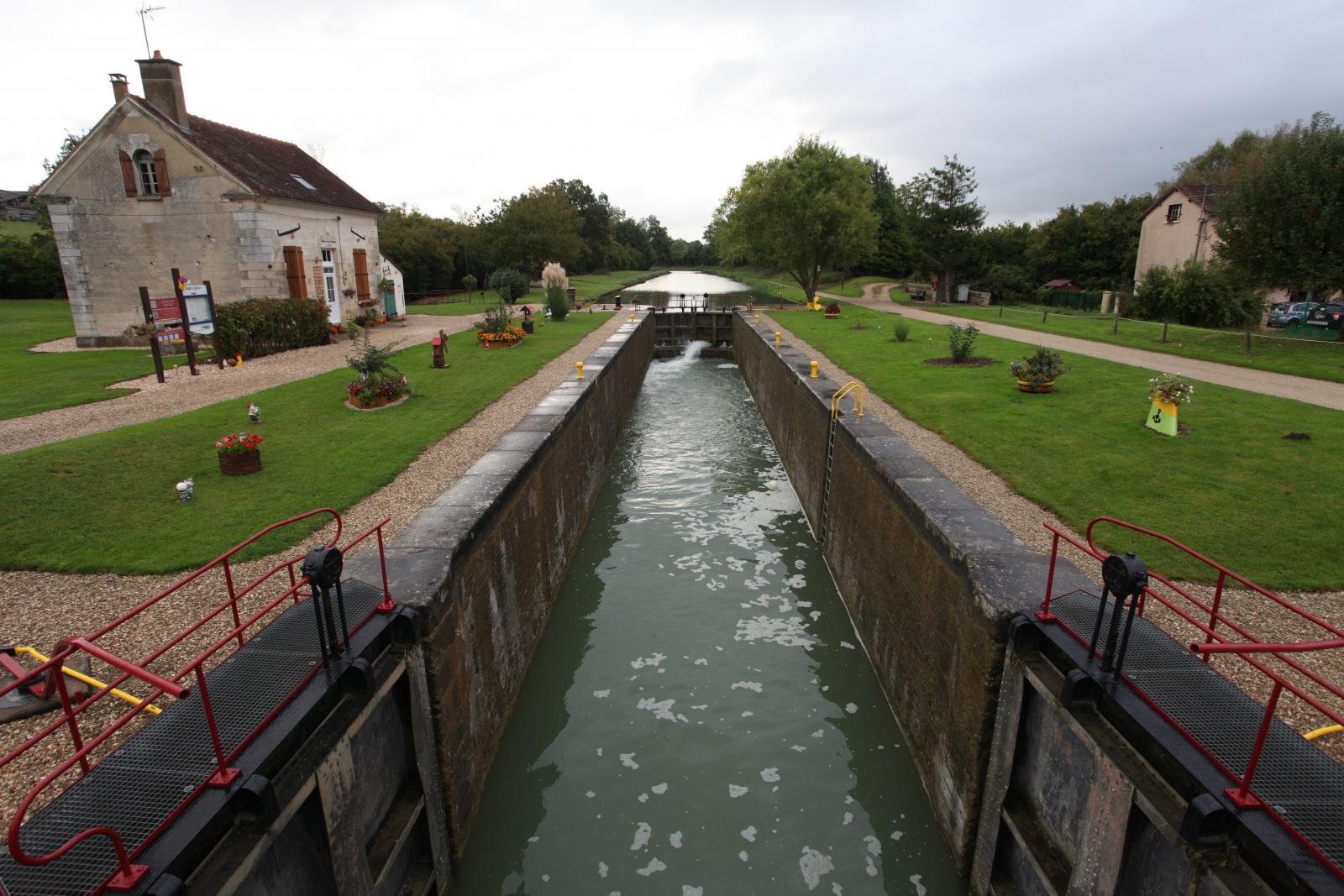
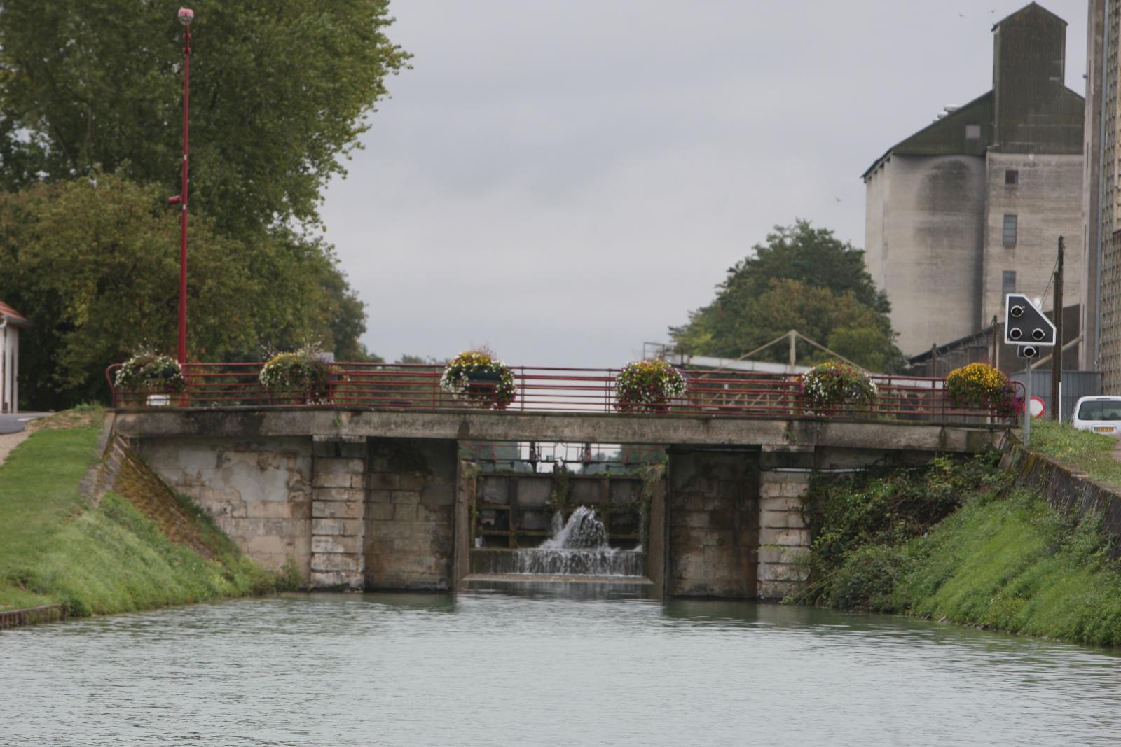
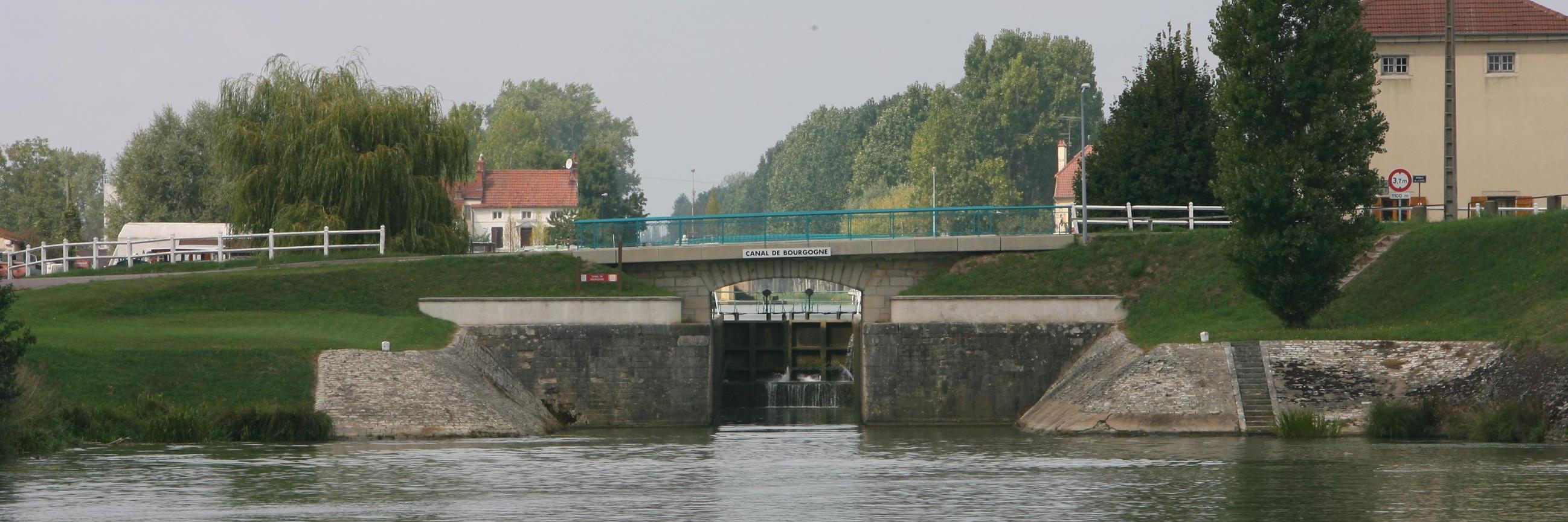
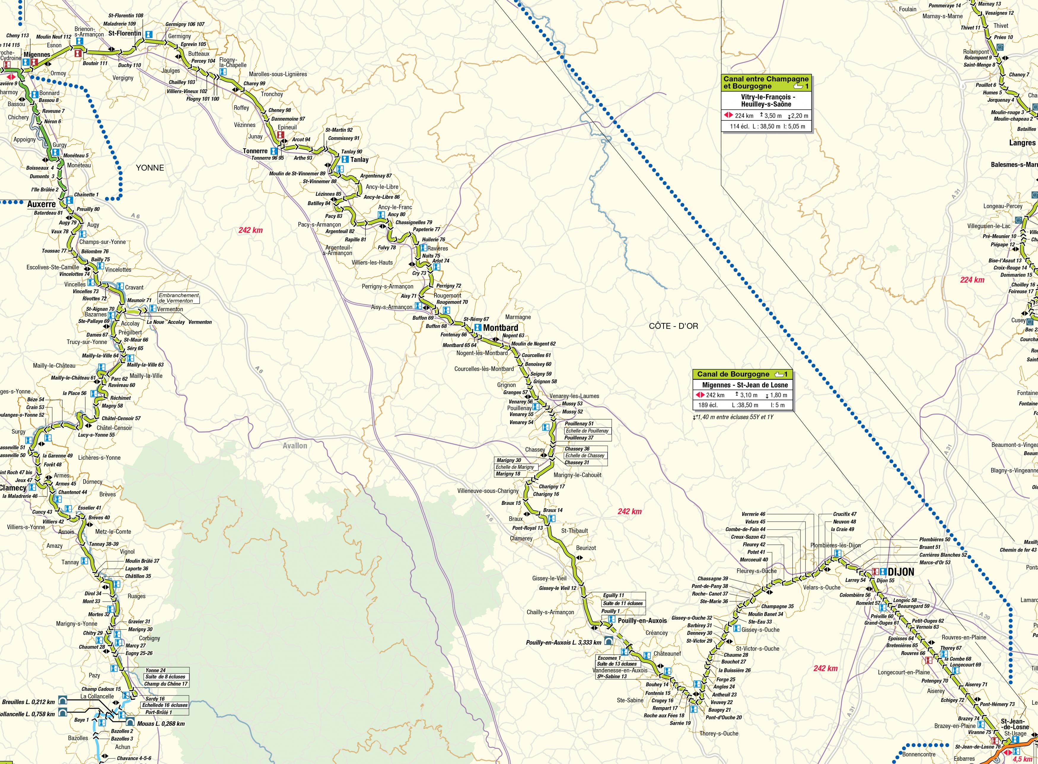
The Canal of Burgundy is a 242 km long canal located in the Bourgogne-Franche-Comté region of France. The canal connects the Seine river basin with the Saône basin. It starts from Saint Jean de Losne at an elevation of 182 meters, with 76 locks, to the highest point of 378.5 meters. This makes it the highest canal in France. At the highest point of the canal there is a 3333 meter long tunnel. This tunnel passes through the watershed of the Atlantic Ocean and the Mediterranean Sea. From the highest point, it goes down with 113 locks to Migennes at an elevation of 79.77 meters. The canal as a whole is essentially a connecting canal with a height difference between the Yonne river and the Saône river. The canal consists of roughly five parts. From Saint Jean de Losne to Dijon, it is a lateral canal along the Ouche river. From Pont sur Ouche to Saint Thibault, it is partially a lateral canal along the Armançon. A connection between the Armançon at Saint Thibault via the Brenne, Creusot valley, and the Marigny-le-Cahouet lock system, to Vénarey-les-Laumes. A lateral canal along the Brenne from Vénarey to Buffon. A lateral canal along the Armançon from Buffon to the Yonne. Due to the construction of a PLM railway line, the canal never really played an important role in freight transport. Now it is rarely used for professional transport, but it is a beautiful canal for recreational boating.
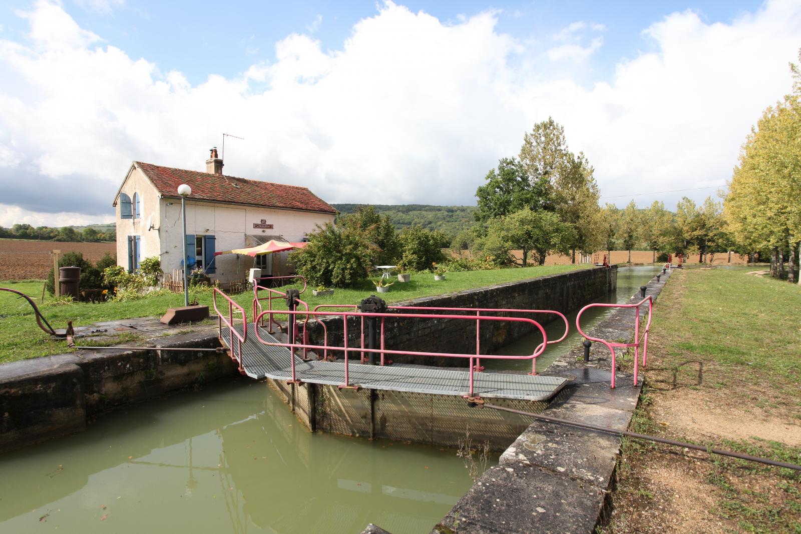
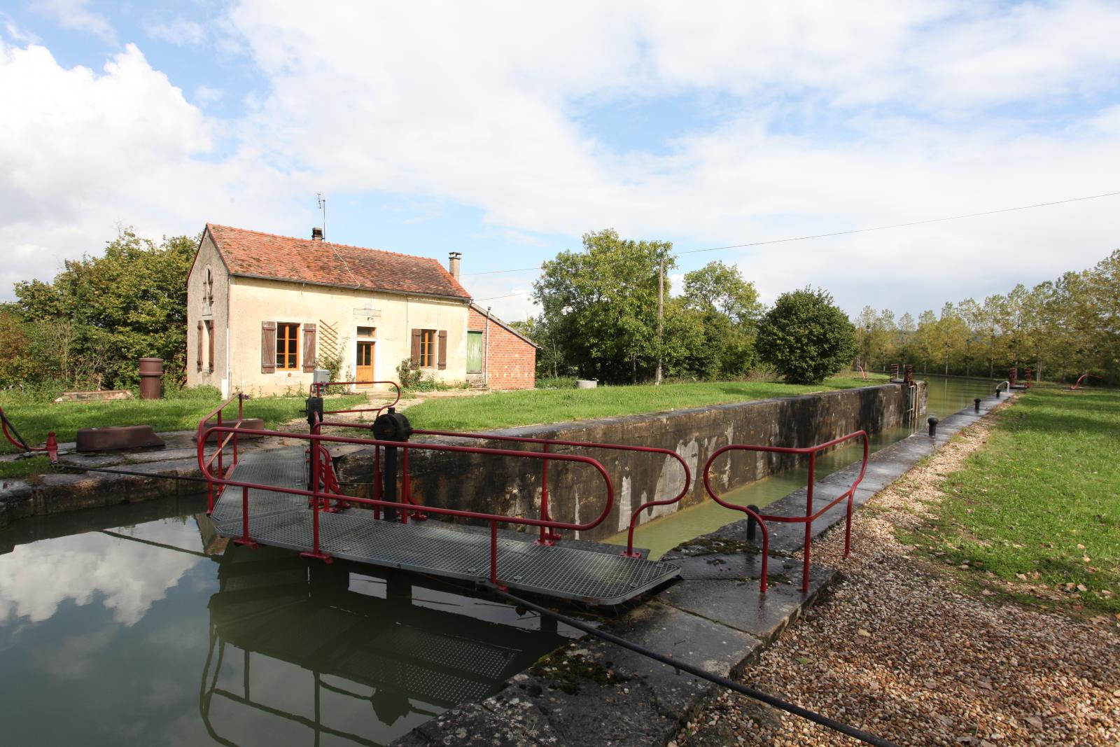
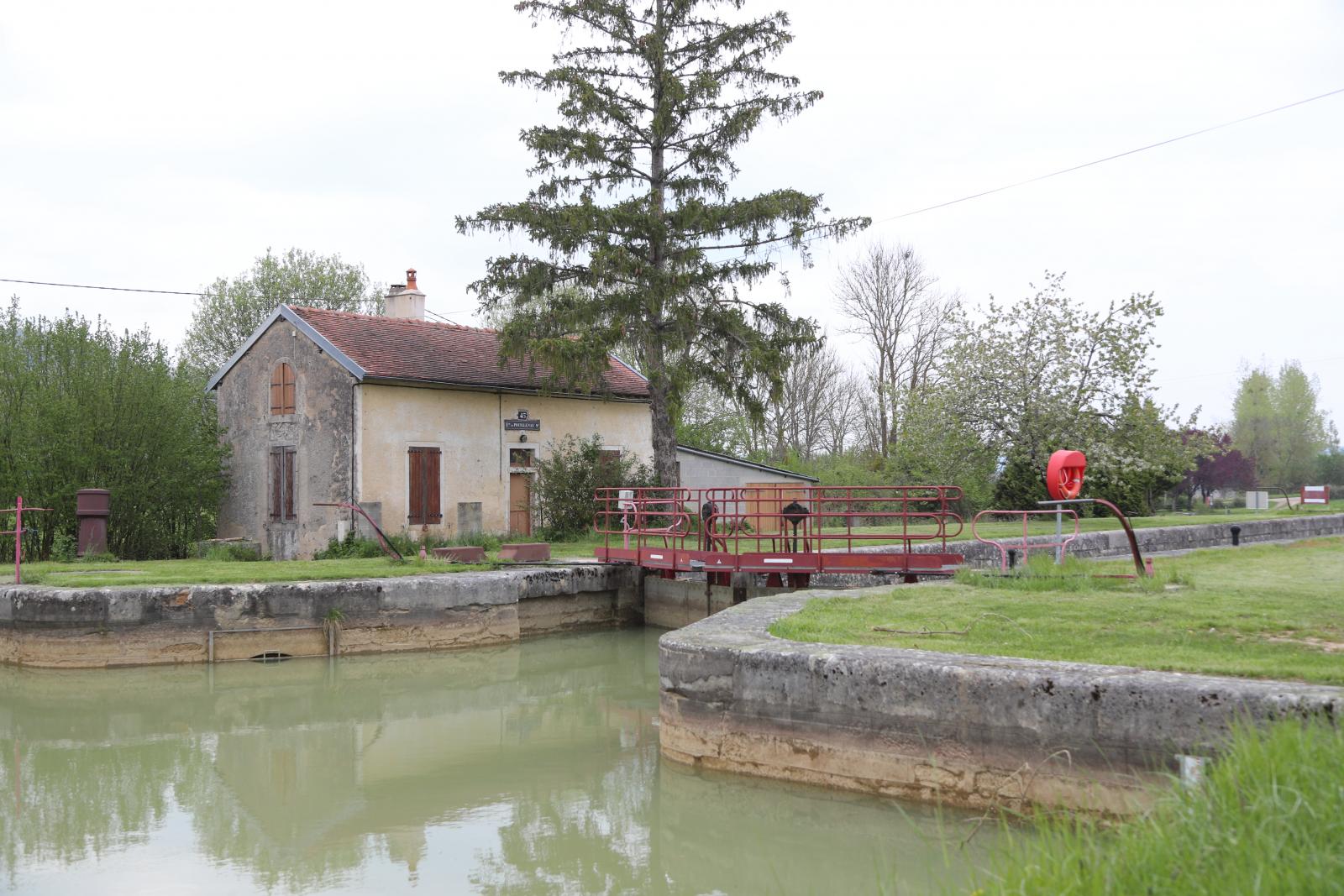
Construction. Louis XV gives the order to build the canal on September 7th, 1773. The first works began in 1777 on the Laroche Tonnere section. In 1781, work began between Dyon and Saint Jean de Losne. However, the work was interrupted by the outbreak of the French Revolution. It wasn't until 1808 that Napoleon ordered the construction to continue. That same year, a section from Dyon to the Saone was put into use. The way of overcoming the highest part of the canal was still unknown at this point. It wasn't until 1812 that a decision was made to build a tunnel at the highest point, and to build large reservoirs to store sufficient water. Construction of the tunnel began in 1826 and was completed in 1832. With the tunnel, the canal was also fully navigable. The construction of the reservoirs continued until 1840. Adaptation. Between 1879 and 1882, the canal was adapted to the new Freycinet standard measurements. The locks were adapted to allow passage of Spitsen, ships 38.50 meters long. Two locks, Locks Germigny 106-107 and Migennes 114-115, on the canal were executed as staircase locks during the construction of the canal. These locks were demolished during the adaptation to the Freycinet measurements and a new single lock was built that overcomes the drop in one go. The double numbers of these locks have been preserved.
Characteristics
The starting point of the waterway is near : Saint Jean de Losne.
The starting point of the waterway connects to : Saone.
Height of the start of the waterway is : 182.00 meter.
The endpoint of the waterway is located at : Migennes.
The height of the terminus of the fairway is. 80.00 meter.
Construction was decided around the year : 1773.
Construction began : 1777.
Construction completed in the year : 1832 voltooid.
The farewell runs through the countries : Frankrijk.
Intersecting waterways : Yonne
Water supply
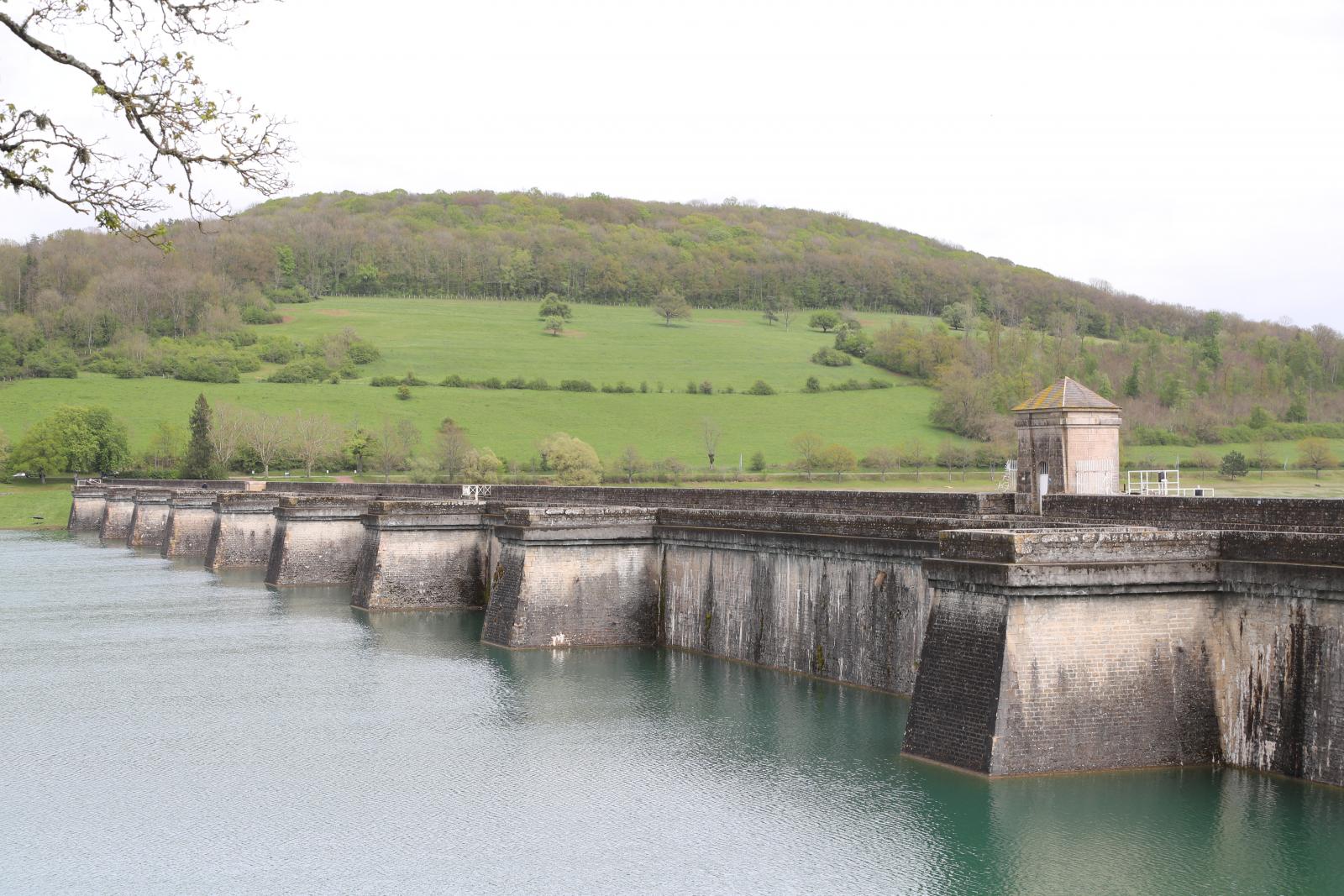
The canal is supplied with water at its highest point by means of 6 dams and feed channels. The total length of the feed channels is about 63 kilometers. The feed channel from the Grosbois dam crosses the Soussey-sur-Brionne mountain in an underground tunnel of 3,705 meters in length. The locks in the lower parts of the canal are supplied by about 50 intake points from the rivers Ouche, Brenne, and Armançon and their tributaries.

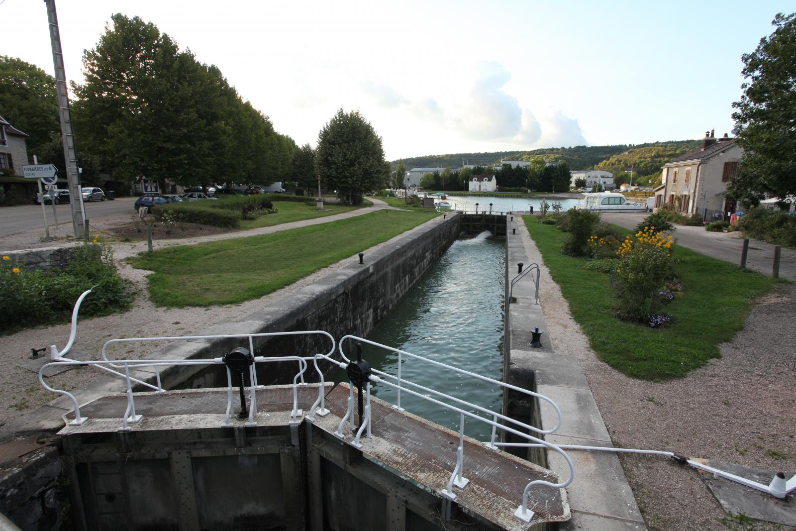
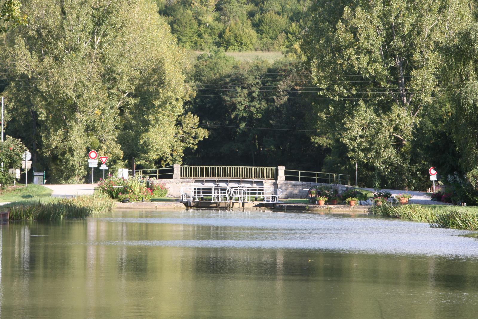
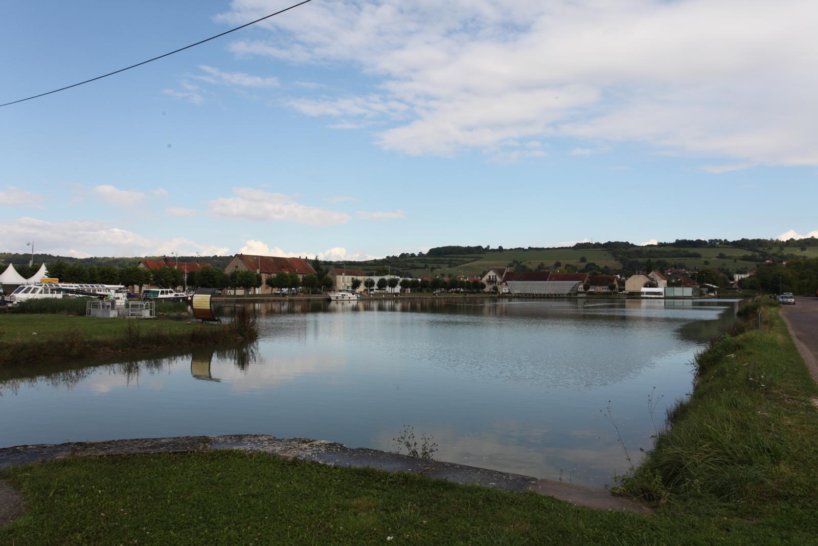
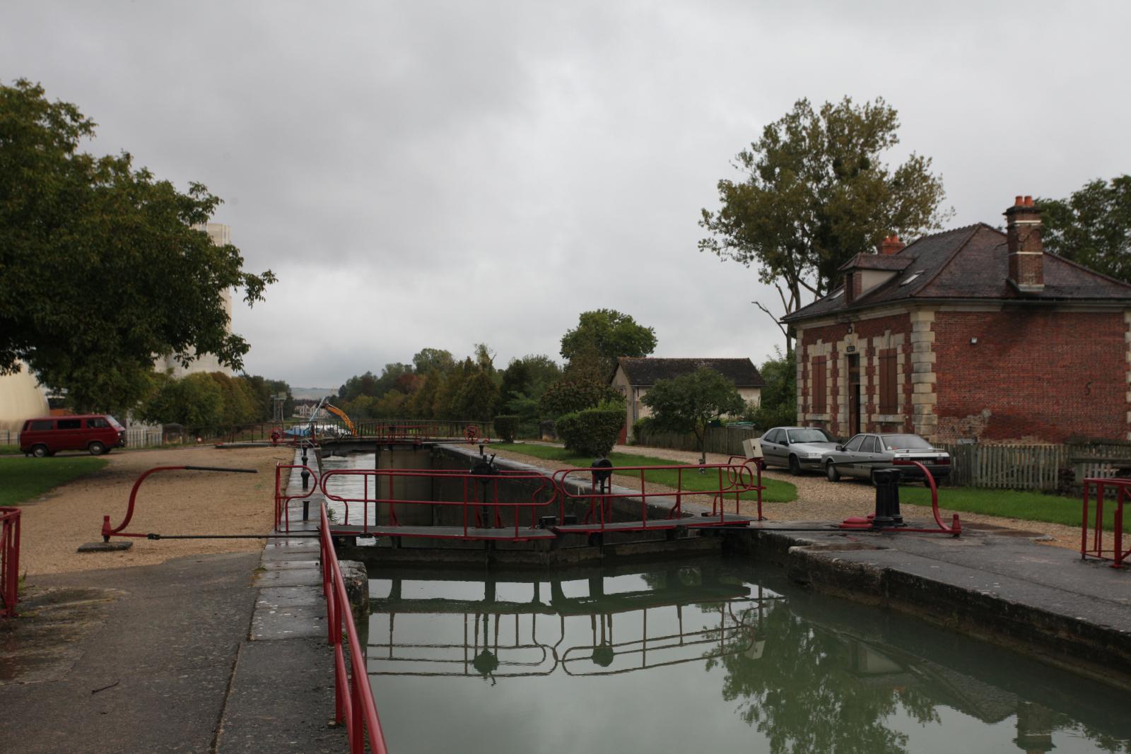
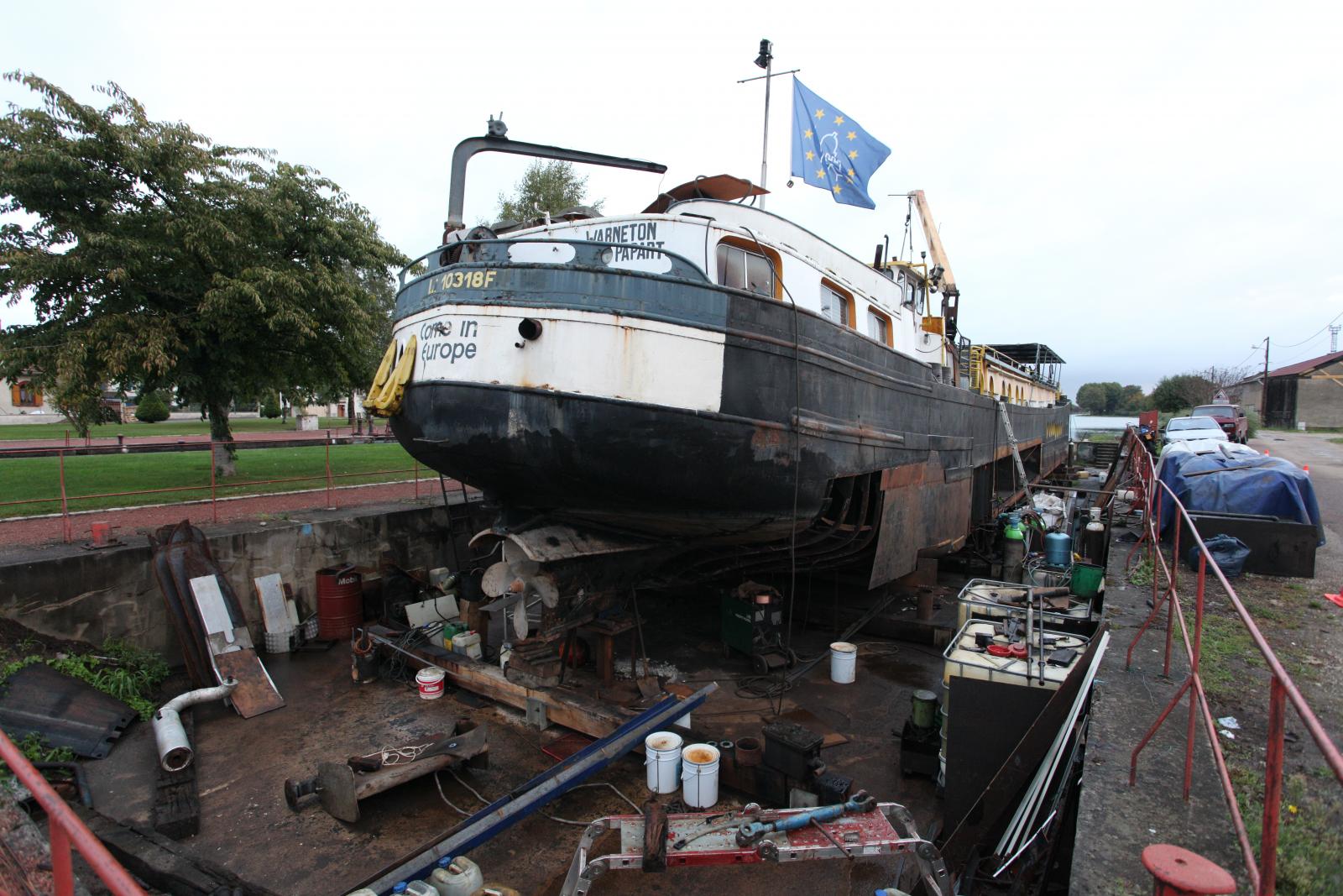
The canal starts at the Saône river in Saint-Jean-de-Losne. Between the village and the canal is a large marina. Above the lock is a shipyard with a dry dock and there is a lot of activity on both sides of the canal up to the first bridge.