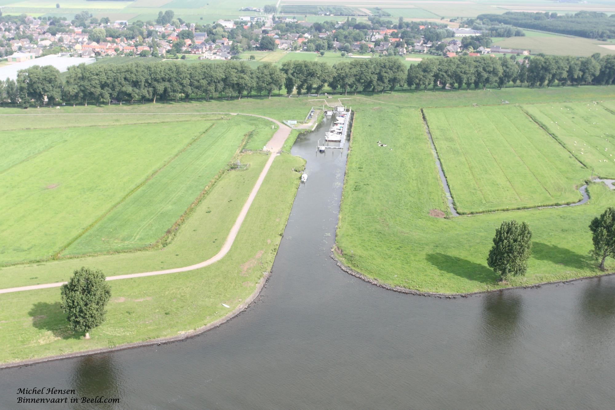
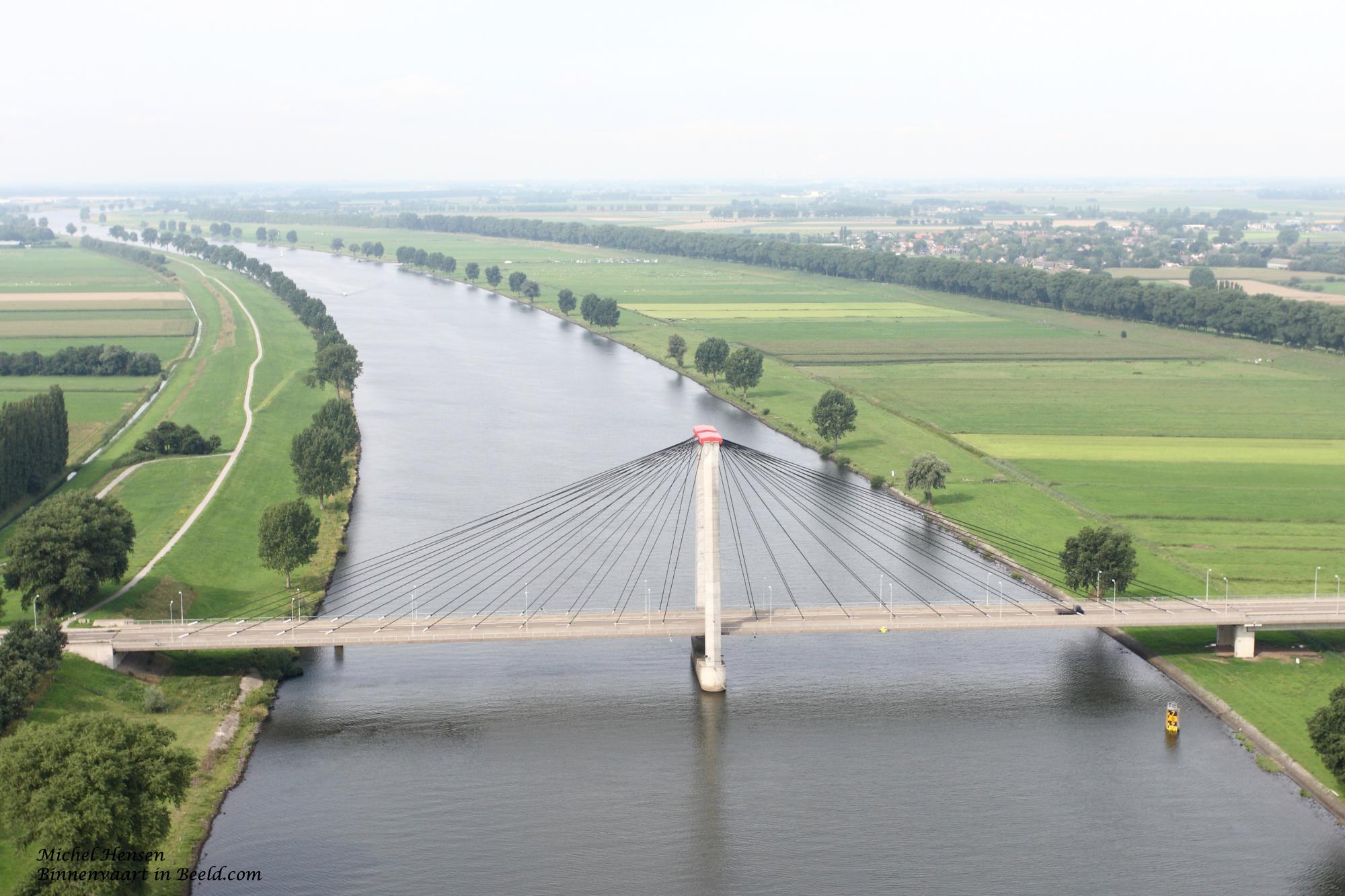
The Bergsche Maas is a canalized river in North Brabant that continues the flow of the Meuse and changes its name downstream to become the Amer. The Bergsche Maas was created in 1904 when the Meuse was channeled in a western direction from Well (Gelderland). It forms the southern boundary of the Land of Heusden and Altena, and its total length is 24.5 kilometers.
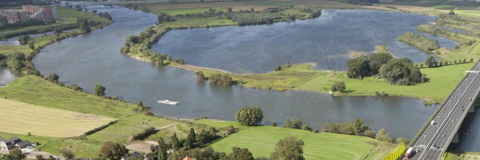
The Bergsche Maas is a canalized river in the province of North Brabant, Netherlands, which continues the flow of the Meuse river and changes its name downstream to the Amer. The Bergsche Maas was created in 1904 when the Meuse was canalized in a westerly direction from Well, Gelderland. It forms the southern border of the Land van Heusden en Altena and has a total length of 24.5 kilometers. The old course of the Meuse was dammed at Well, and connected to the Bergsche Maas by digging the Heusdensch canal a little further downstream. The point of damming at Well, however, forms the beginning of what is now called the Bergsche Maas, even though the water flows only separate at the Heusdensch Canal. Beyond Geertruidenberg, the town from which the Bergsche Maas derives its name, the Amer continues as its (natural) continuation. The Bergsche Maas divides the historic Land van Heusden into two parts and was partly dug through an even older Meuse bed (until 1273), of which the parallel Old Meuse still remains. Two villages, Gansoijen and Hagoort, had to make way for the construction of the Bergsche Maas. To the west of the town of Heusden begins the Heusdensch Canal, which connects to the Afgedamde Maas, the meandering course of the former Meuse before the Bergsche Maas and the Heusdensch canal were constructed. From the south, the Donge flows into the Bergsche Maas at Geertruidenberg, after which point the river is named the Amer.en fr